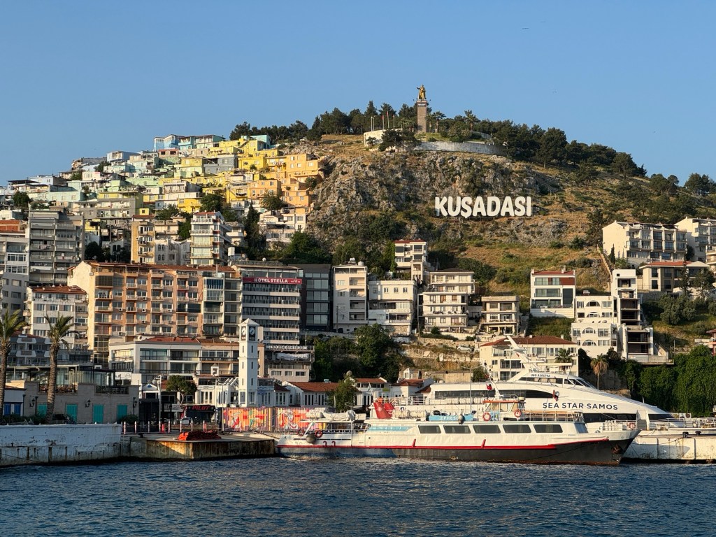
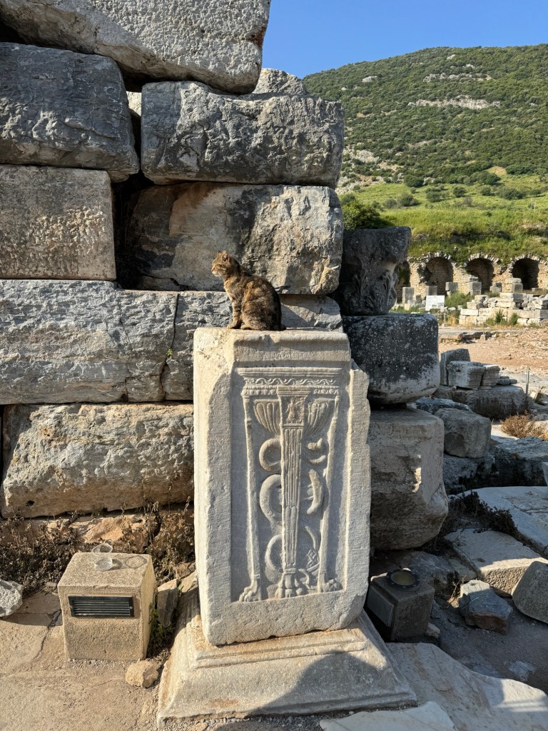
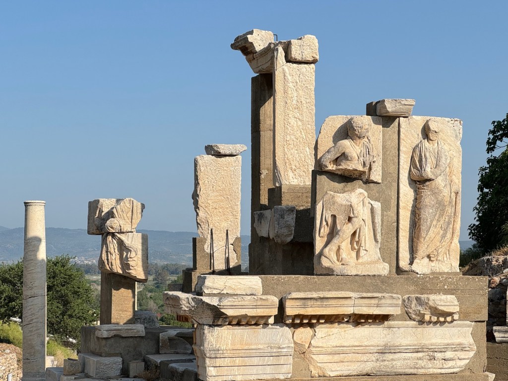
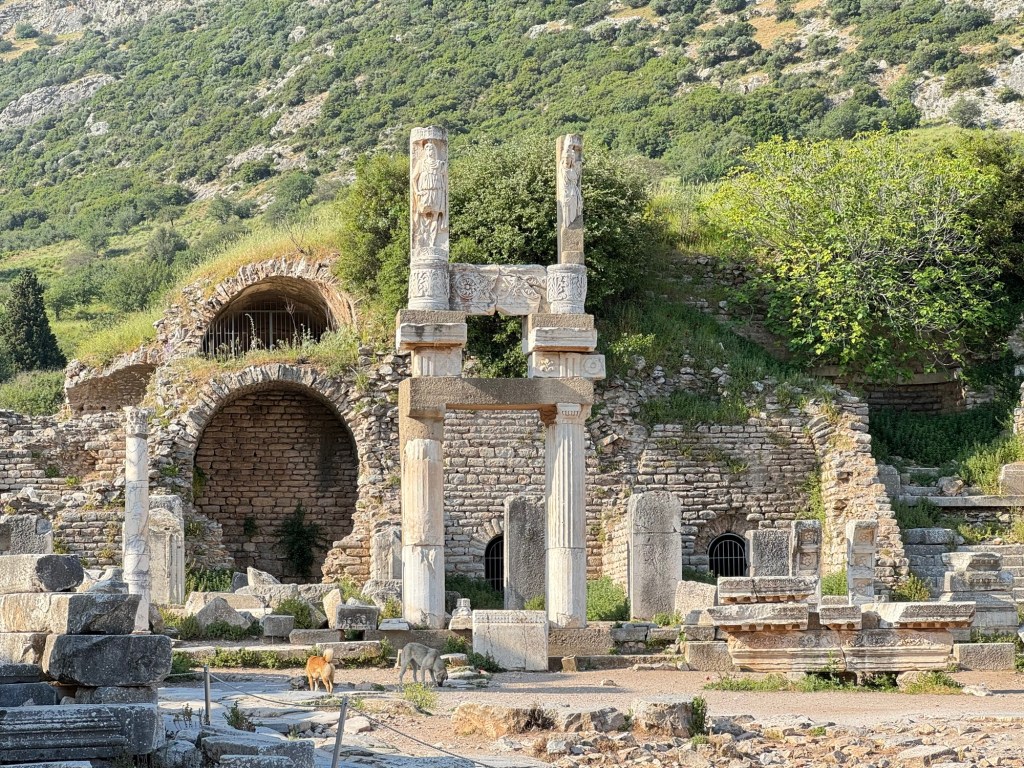
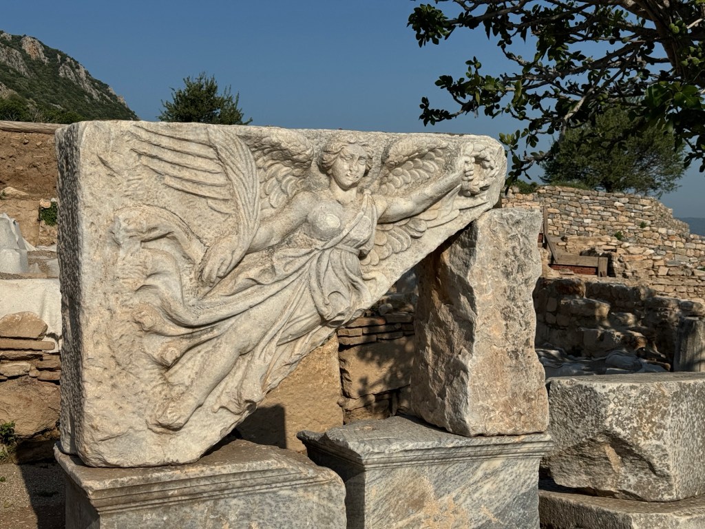
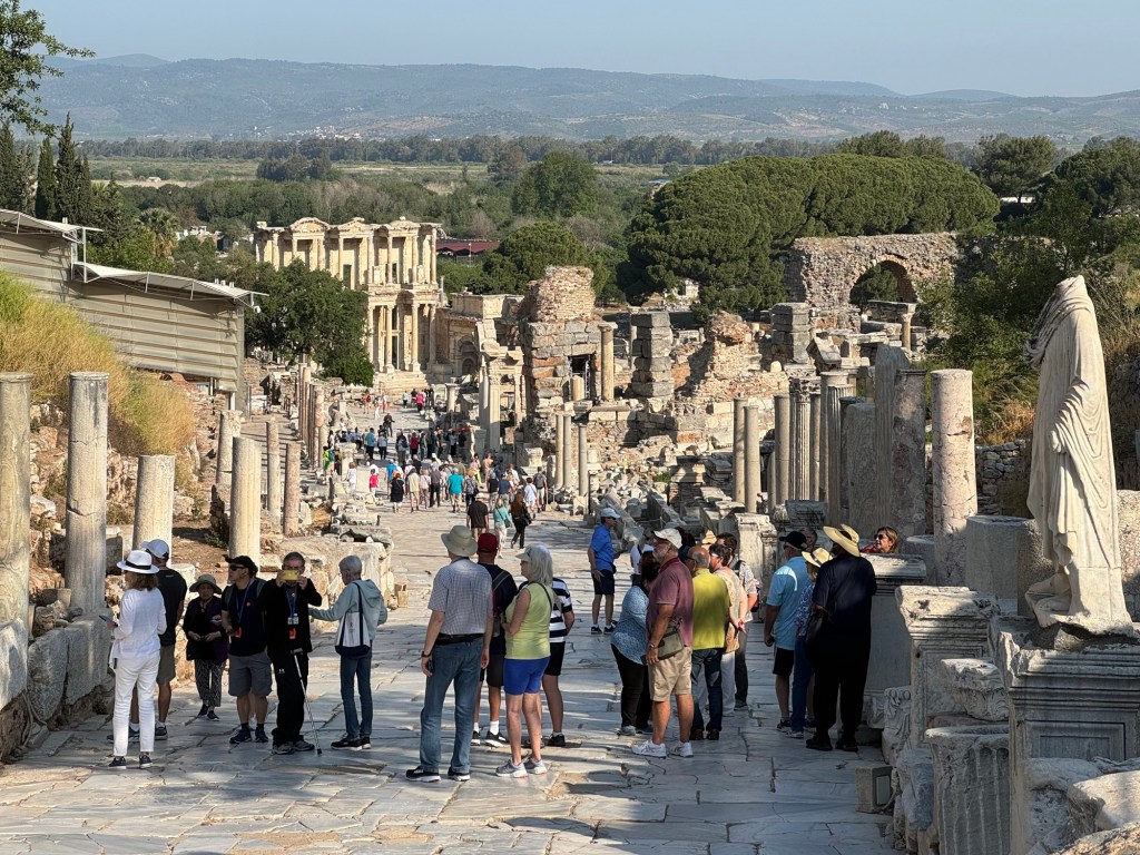
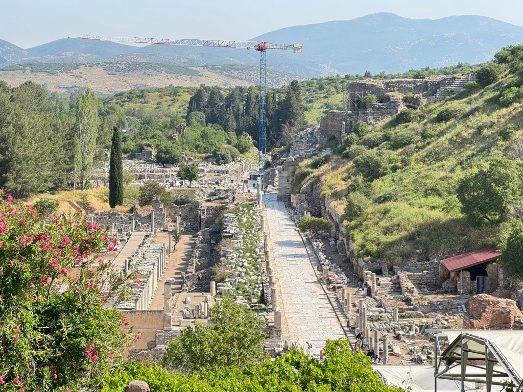
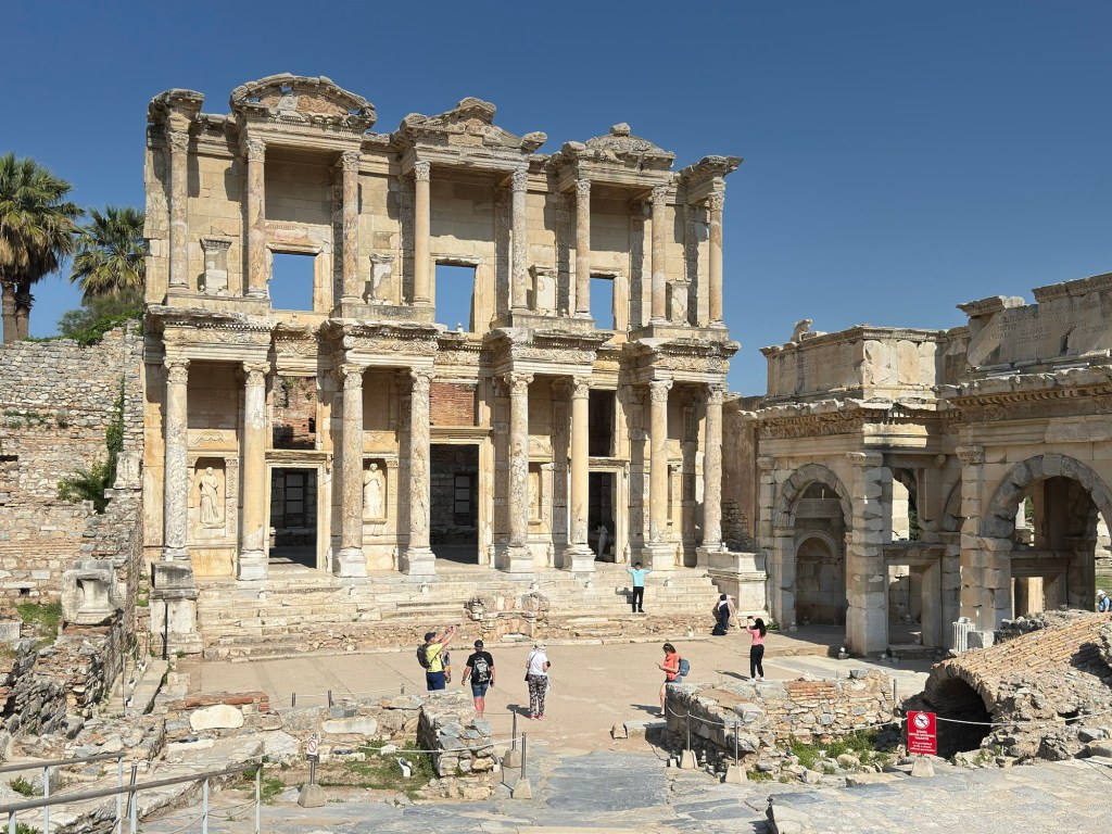
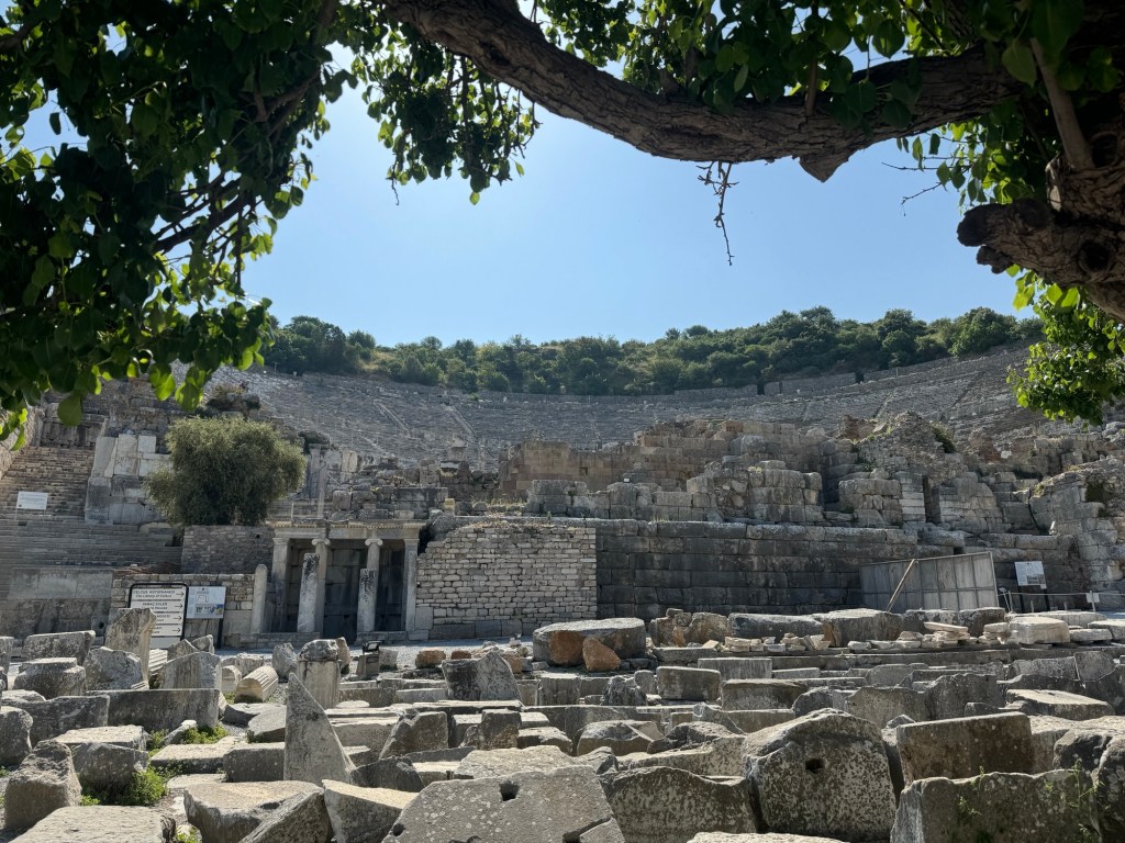
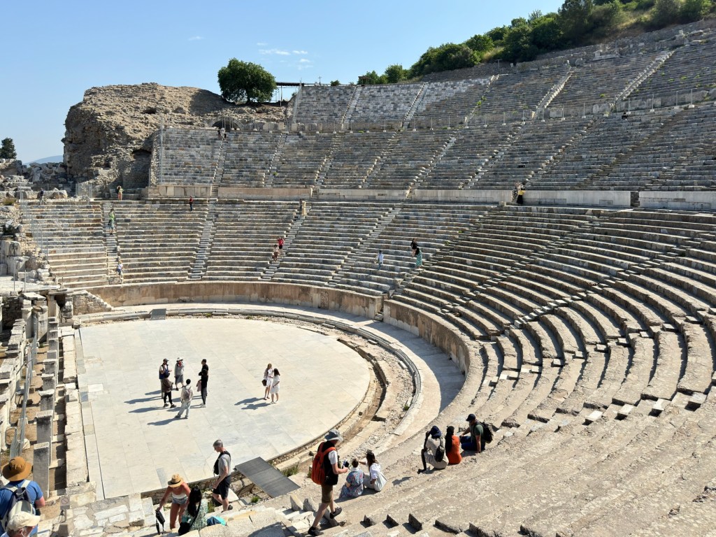
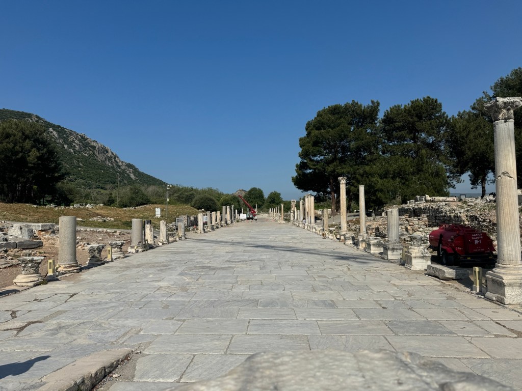
We woke today to the Turkish port of Kuşadası. A busy place bustling with vendors and shops, we boarded an excursion bus for the ancient city of Ephesus. This well-preserved wonder of the ancient world adds to our “7 Wonders” collection.
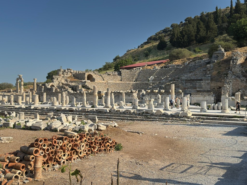
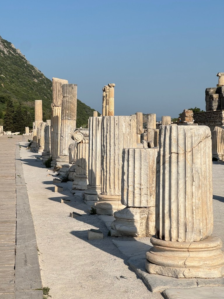
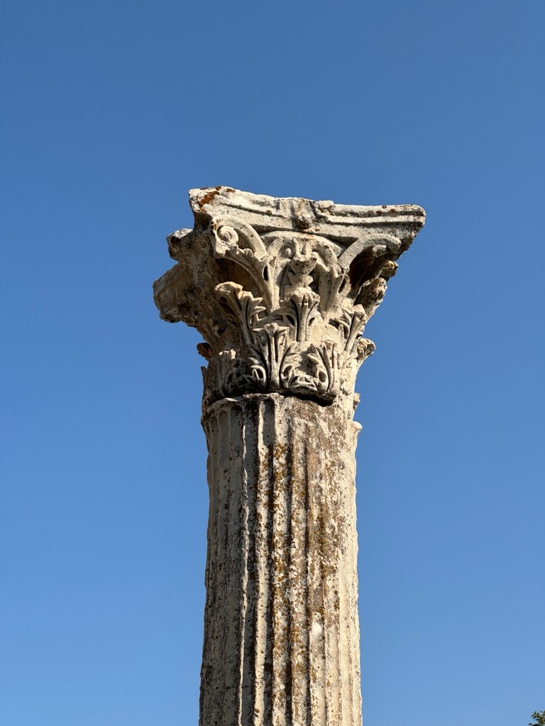
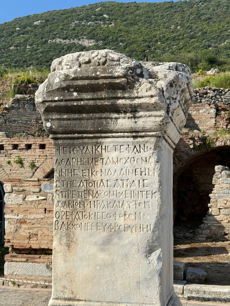
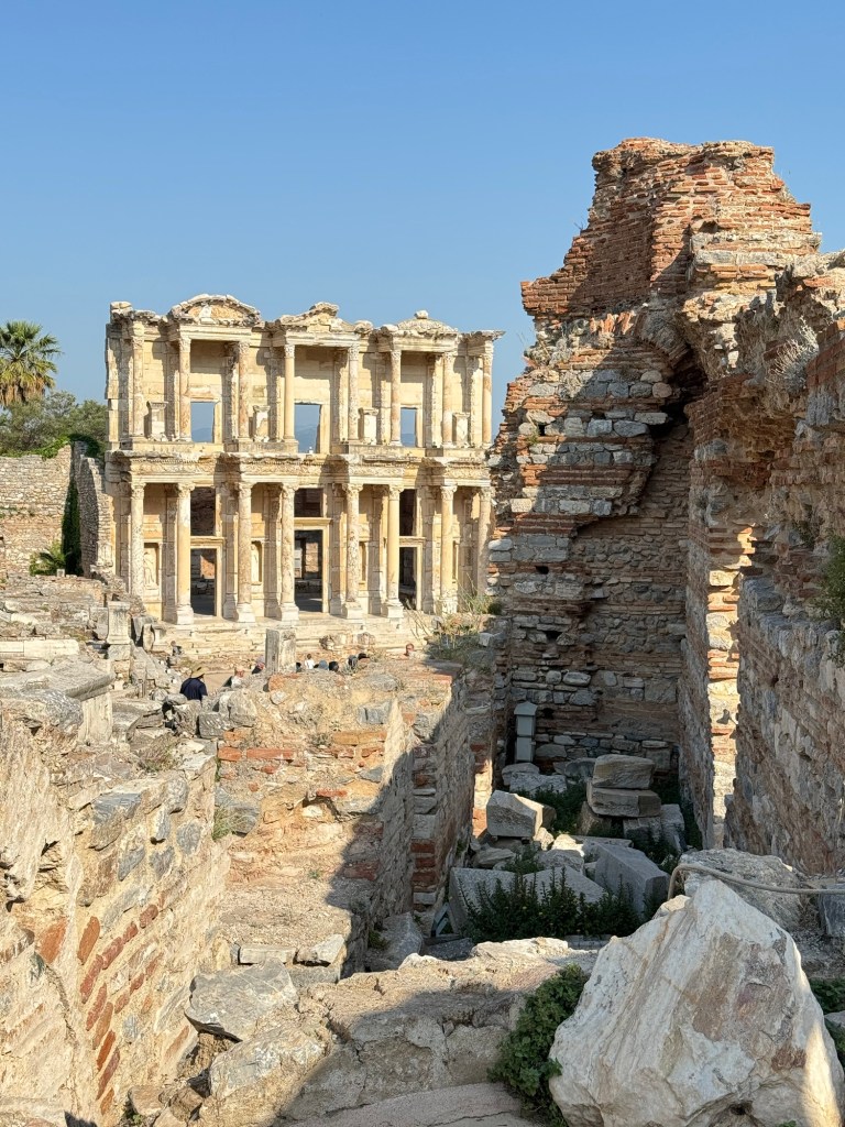
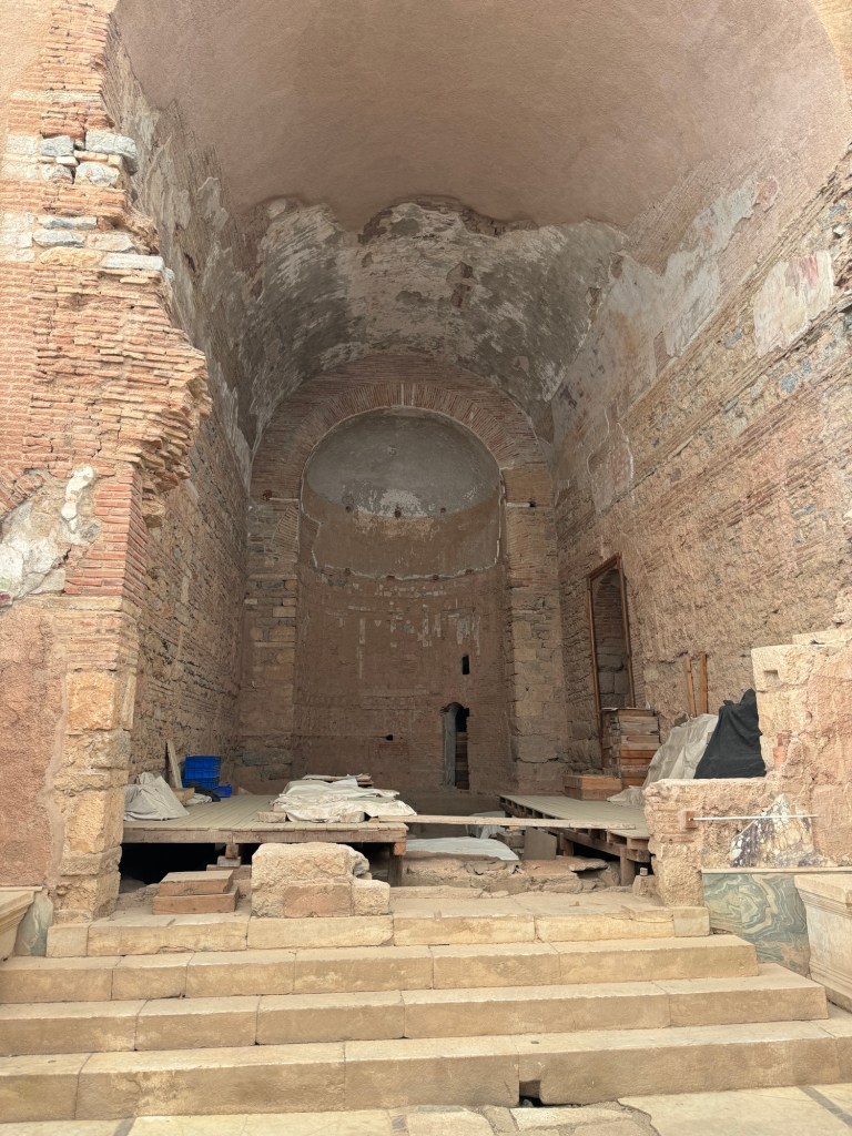
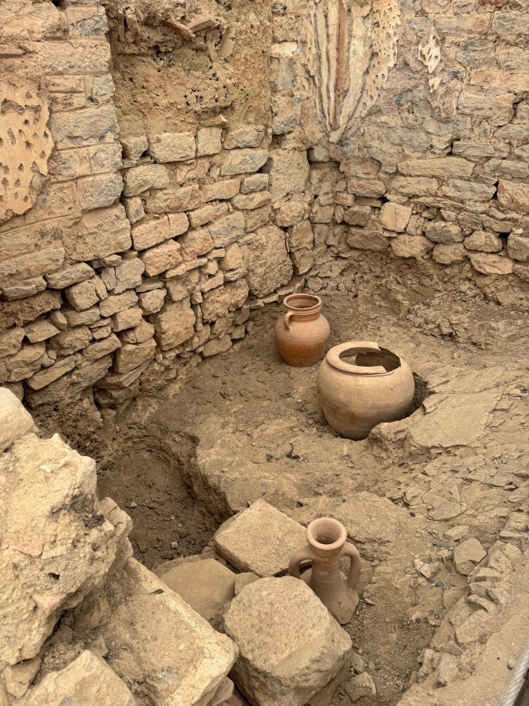
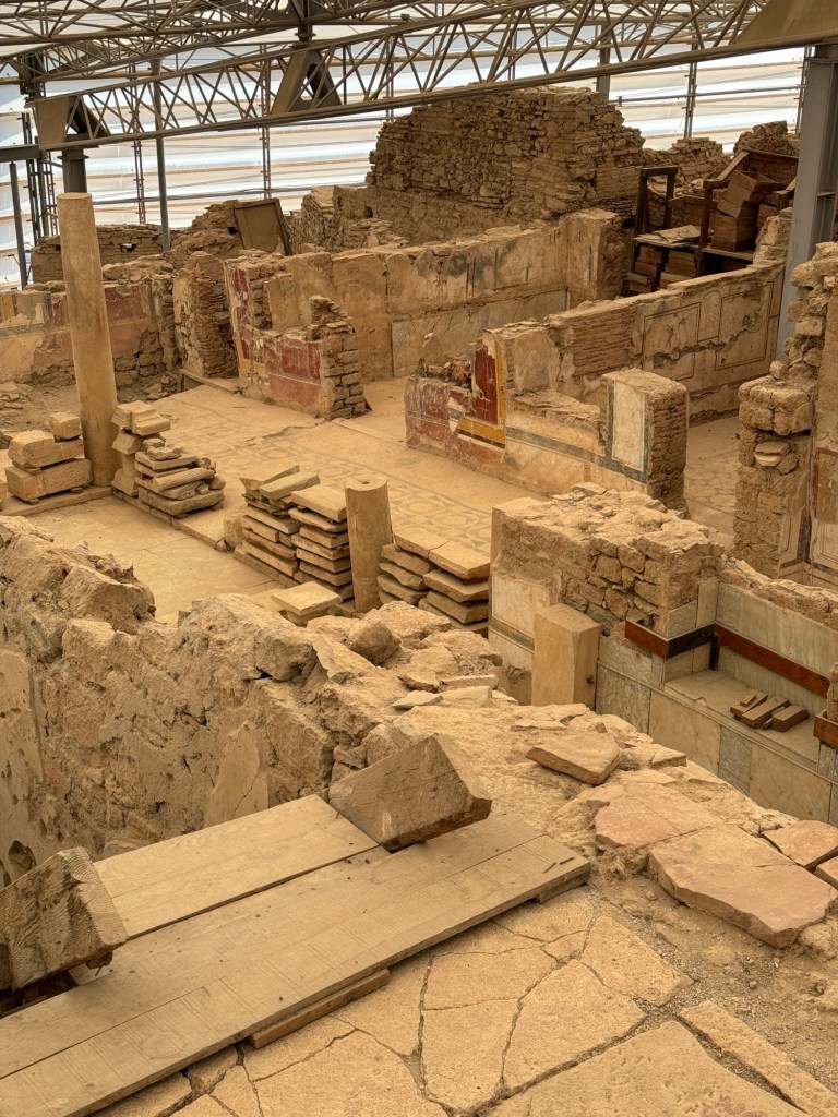
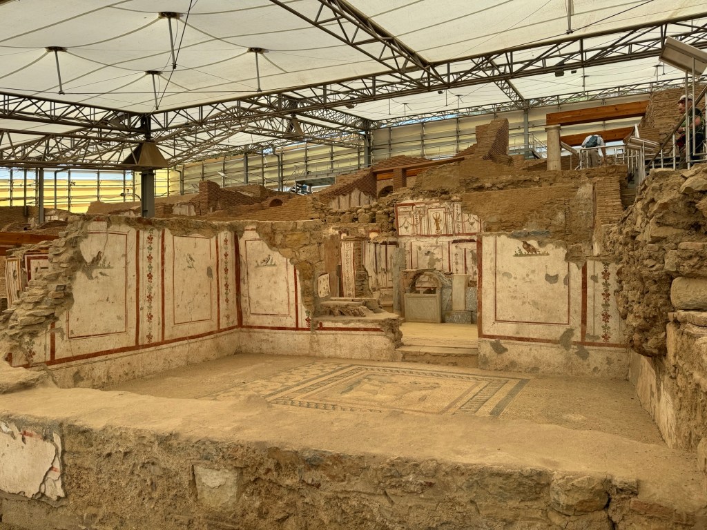
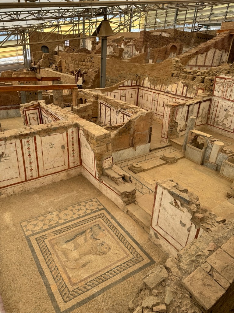
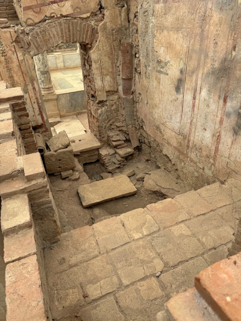
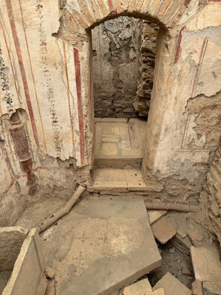
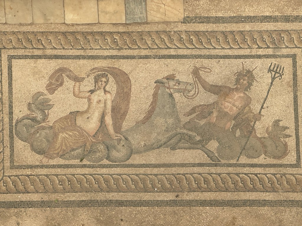
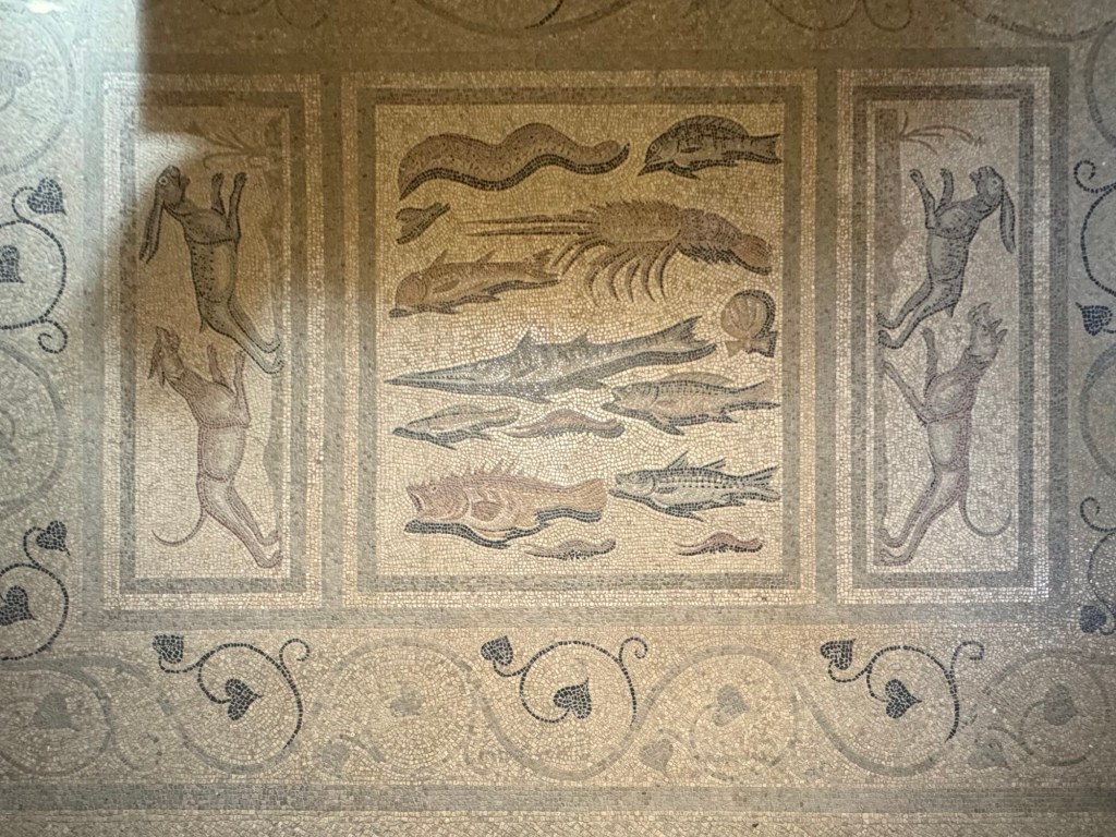
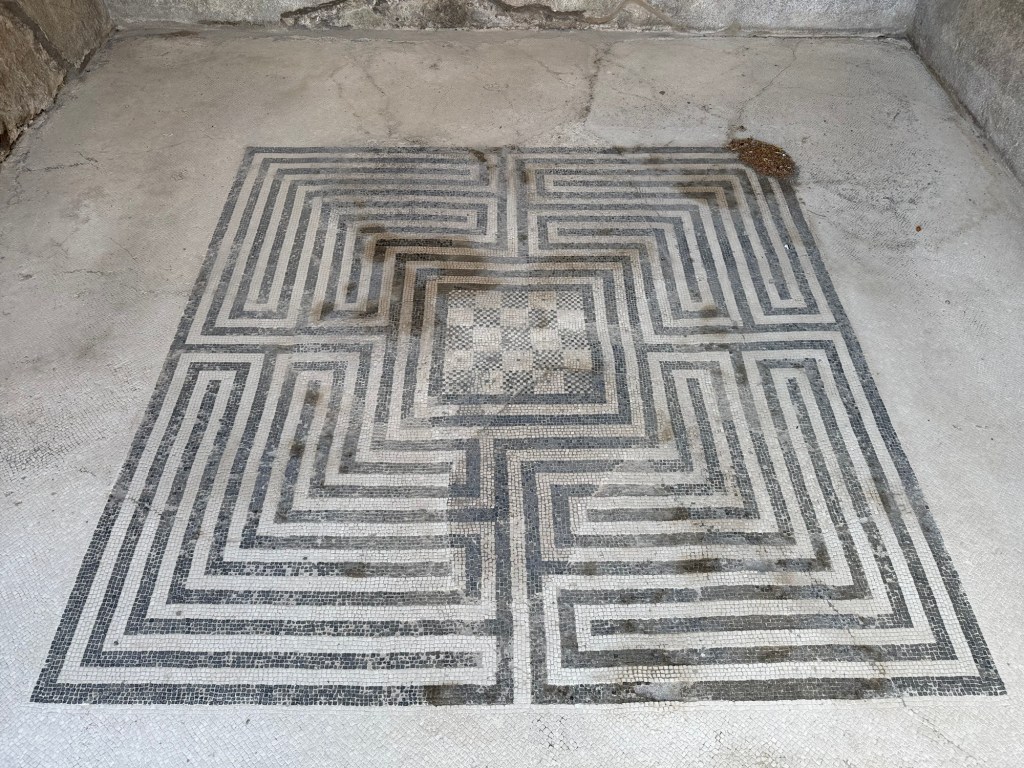
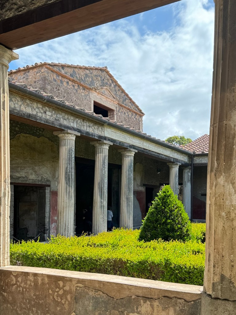
Ephesus was an Ancient Greek city, and full of interesting hints at life. Particularly impressive were the Terrace Houses, well-preserved homes of the aristocracy, including painted walls and gorgeous mosaic floors.
The Cesius Library was reconstructed but impressive, the Agora vast, and the Arena overwhelming.
After returning to Kuşadası we ran the gauntlet of vendors and shops to get back on board for a light lunch. Poolside sitting, packing, and a dinner in Cannelotta completed the day.
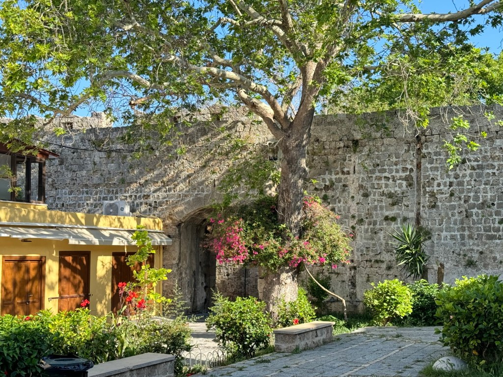
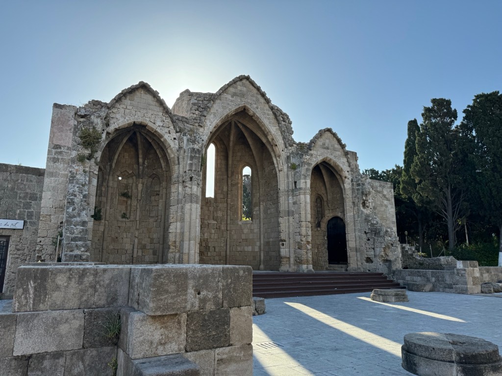
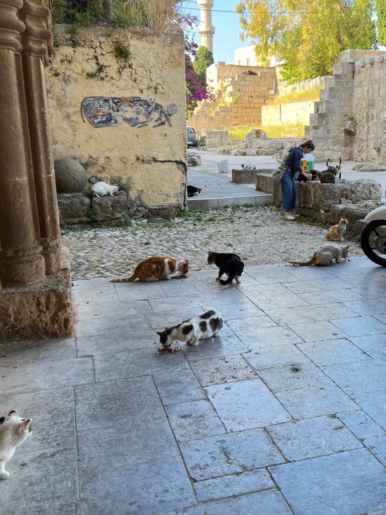
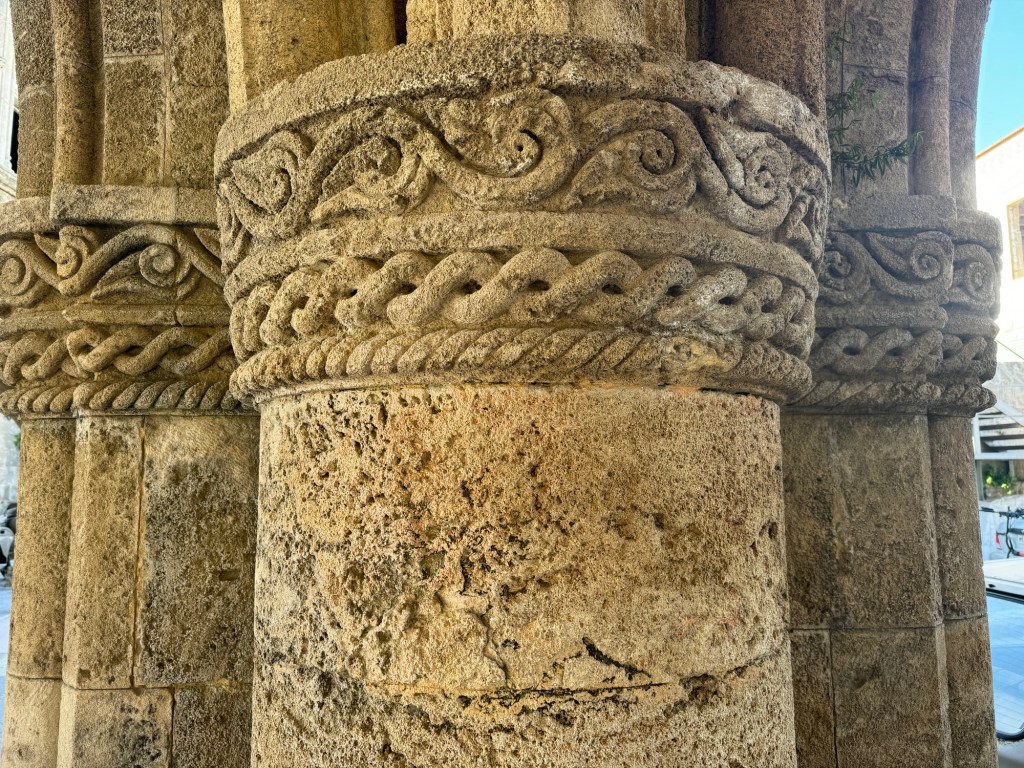
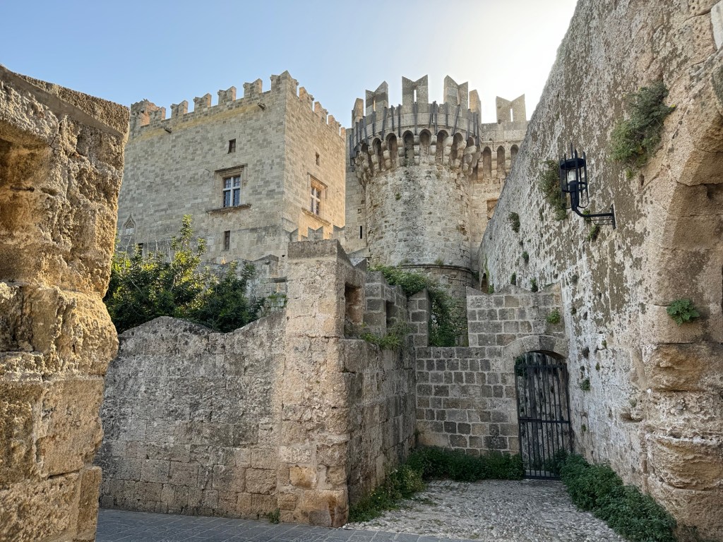
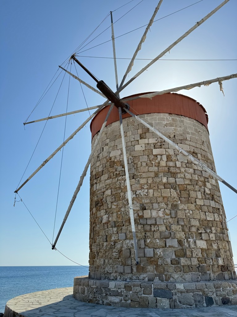
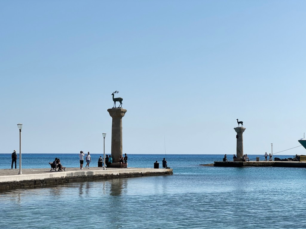
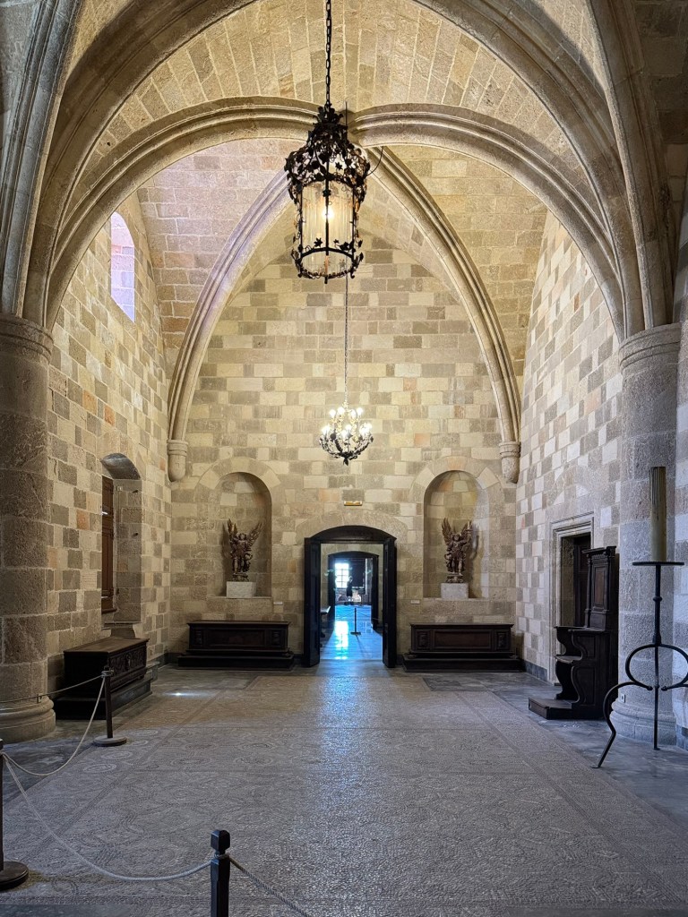
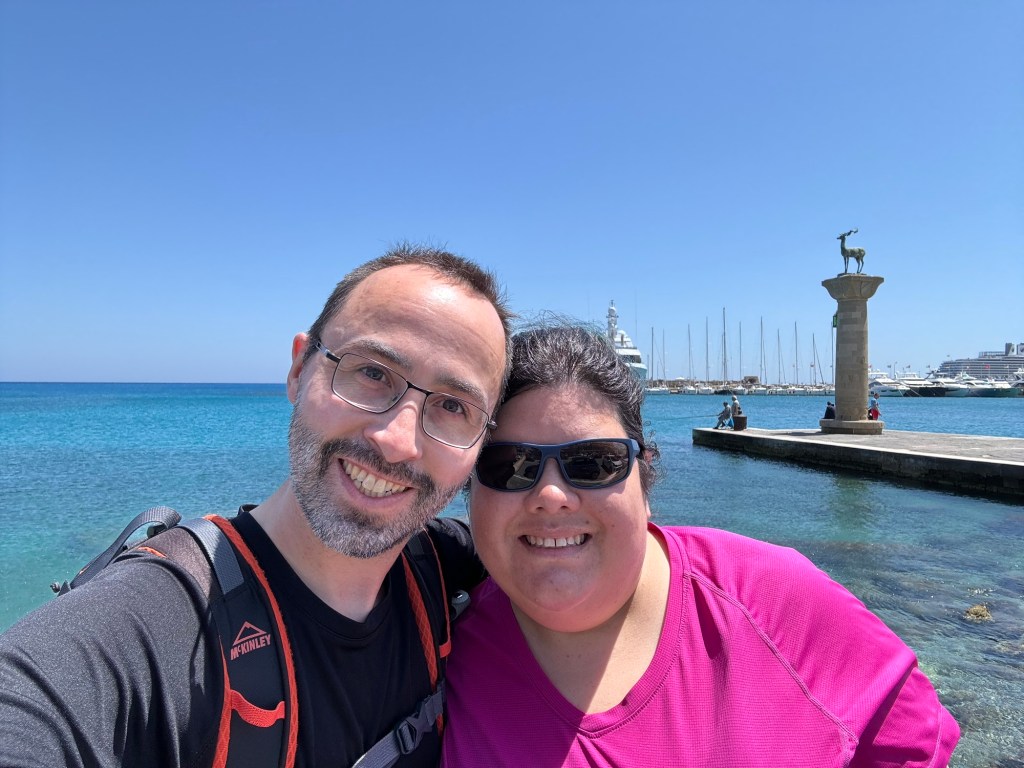
Once home to the Colossus, one of the 7 Wonders of the ancient world, Rhodes or Rhodos is a city of layers, with Greek, Ottoman, Turkish, and Venetian influences blending and mixing in unexpected ways.
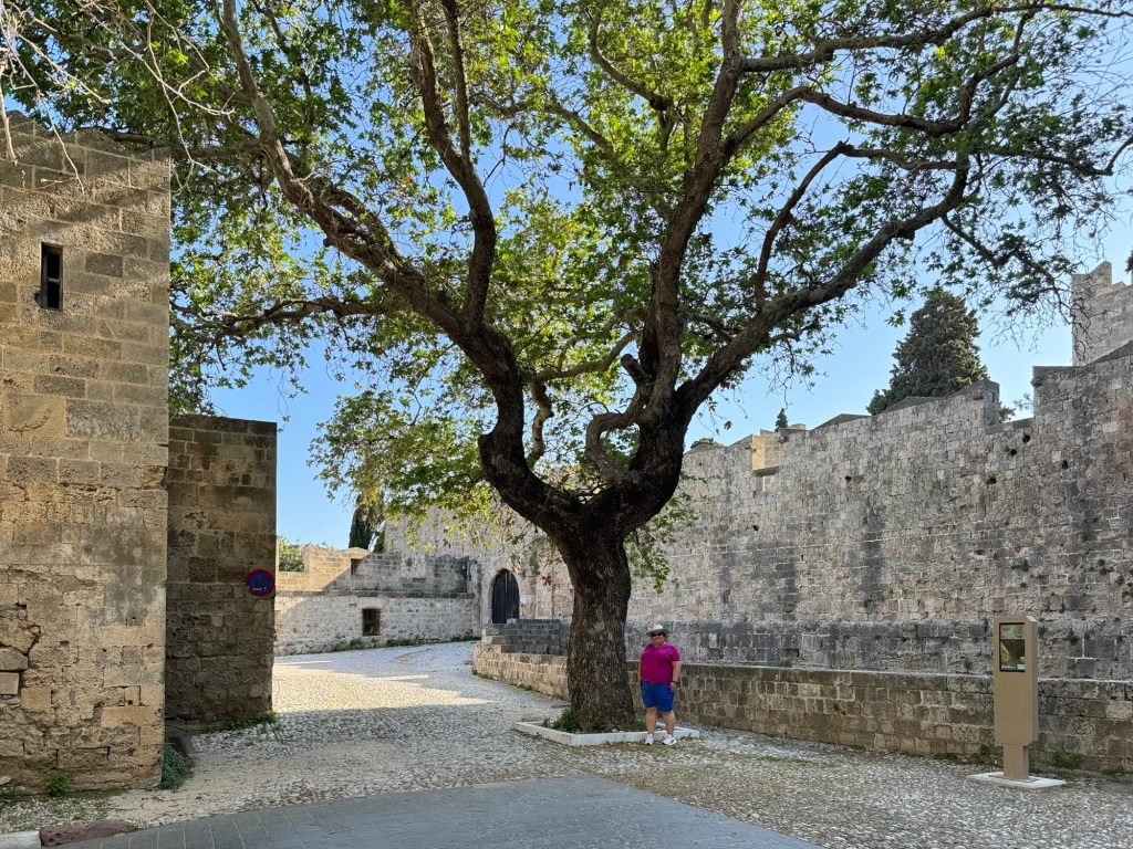
We docked just outside the fortification walls of the old city, and wandered along the waterfront until we came to a gate to pass into the city. The city was just waking, stretching its arms in the warm and breezy morning to greet us.
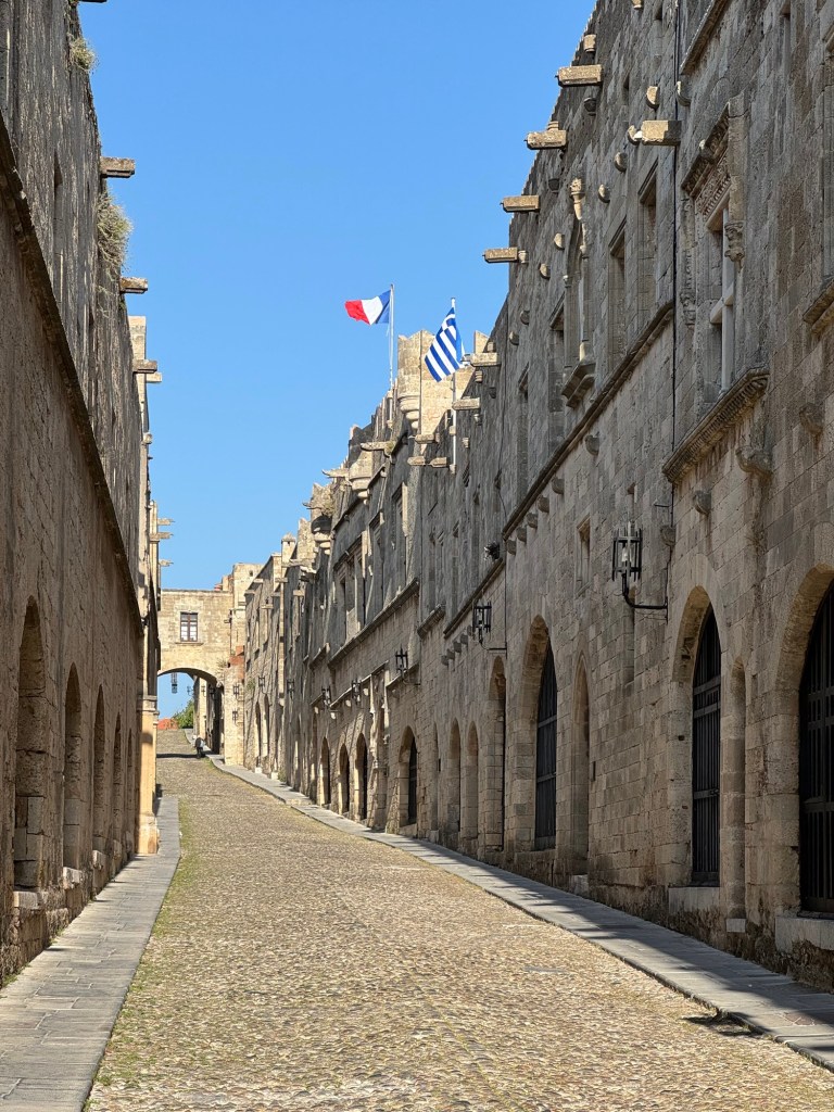
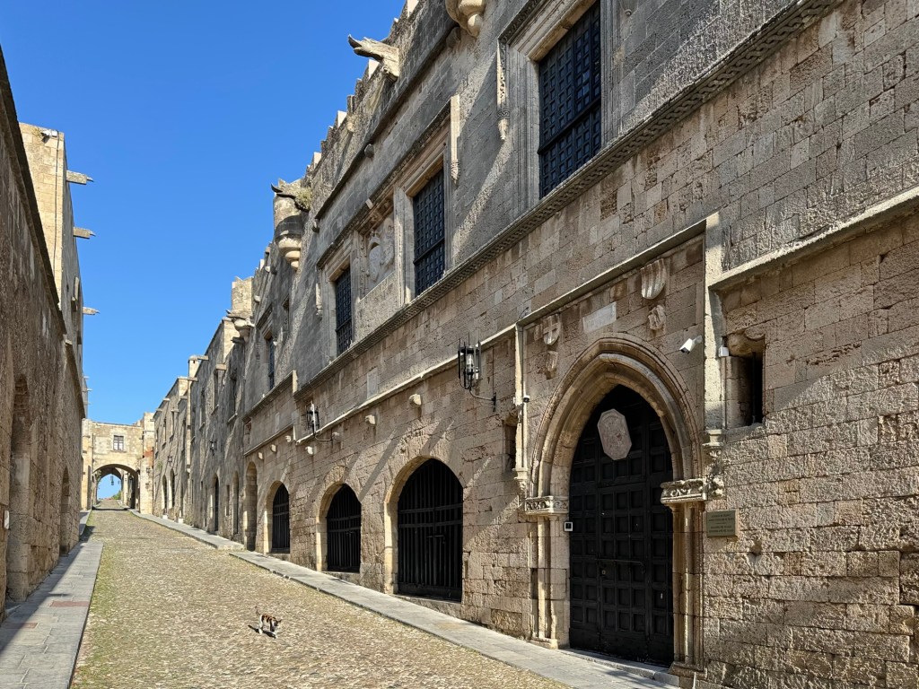
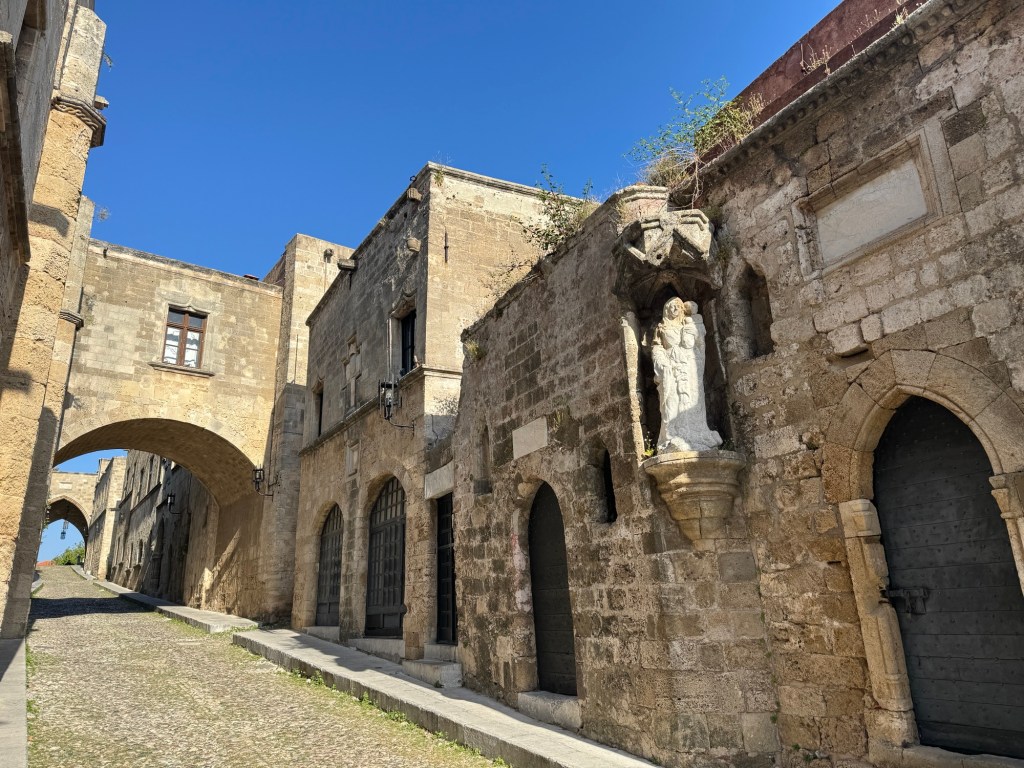
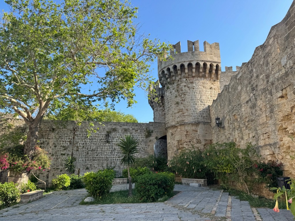
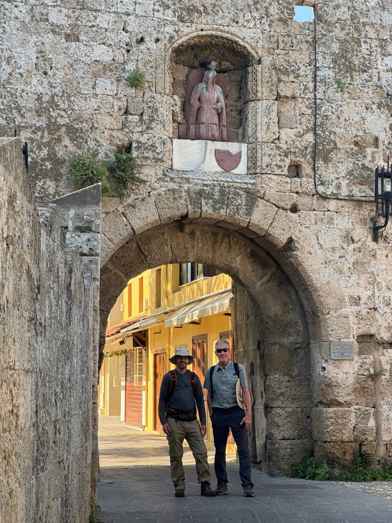
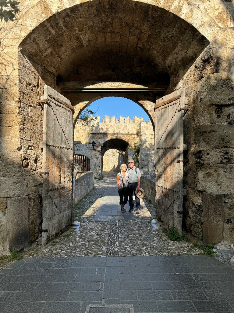
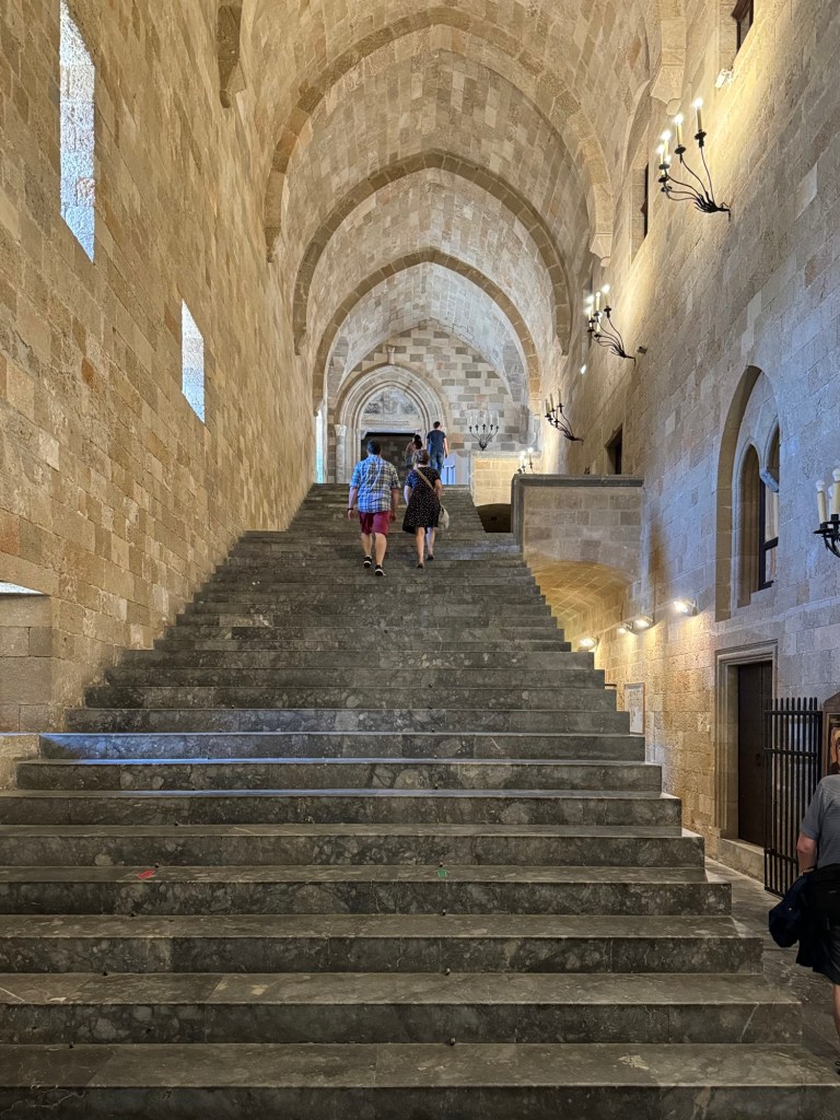
We walked along the Street of the Knights of Rhodes, where crusaders had built centres to meet with their countrymen. It led us to the Palace of the Grandmaster, which we passed by to take advantage of the cool of the morning.
Reaching the old harbour we walked the length, imagining what it would be like with Colossus towering over.
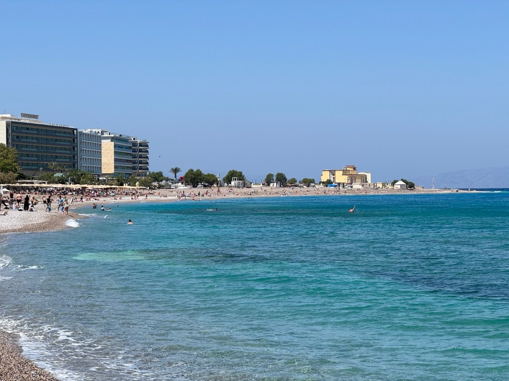
We then retraced our steps to see the Palace of the Grandmaster, before splitting up. Mom and Dad wound through the streets and returned to the ship, while Jen and Dave took in the pebble beach. Jen then walked the waterside route back to the ship while Dave explored a second, less protected pebble beach before winding his way back.
For the evening, Jen and Dave had reservations for the Pinnacle Grill steakhouse onboard, which was delicious.
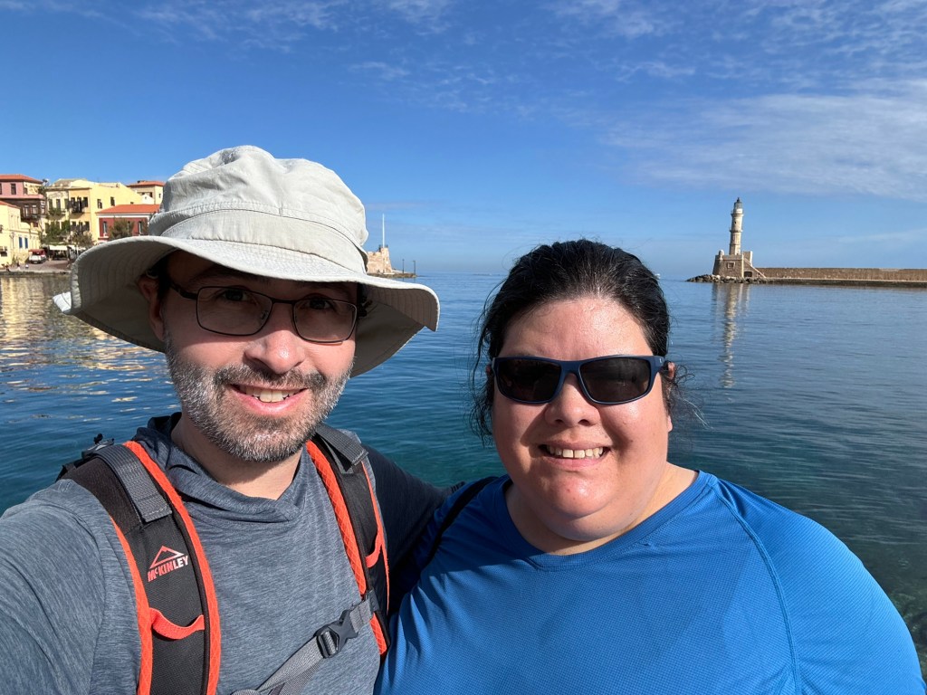
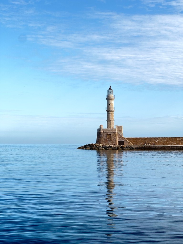
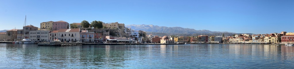
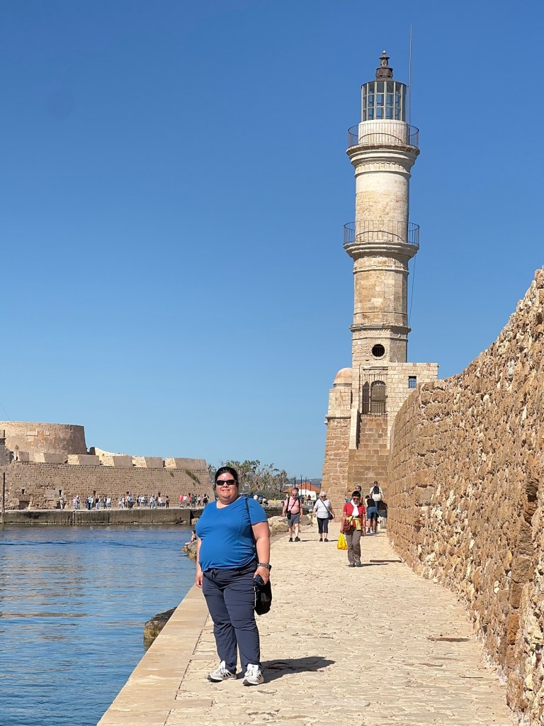
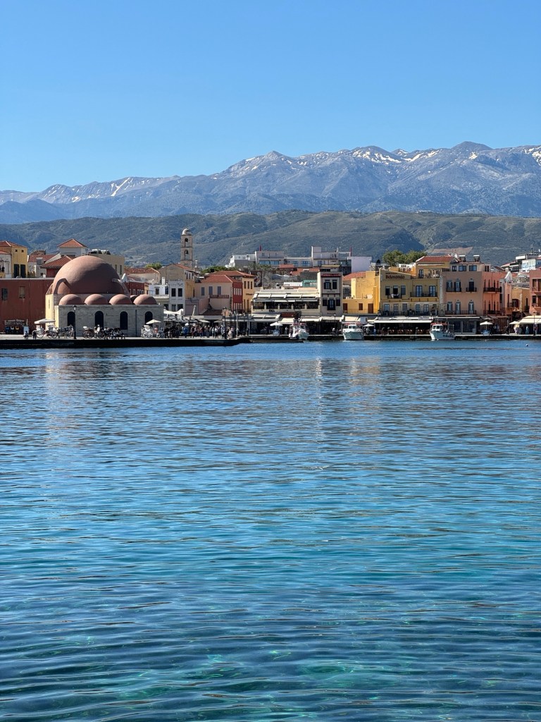
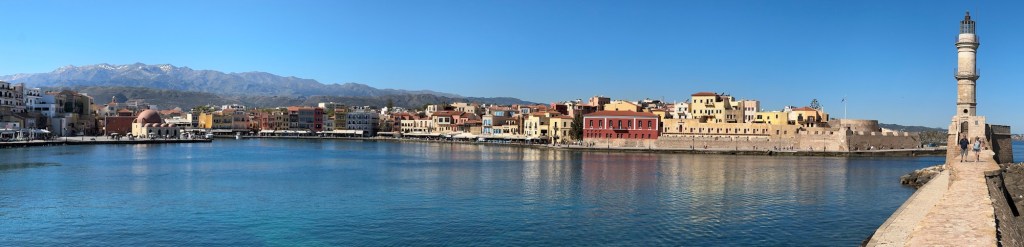
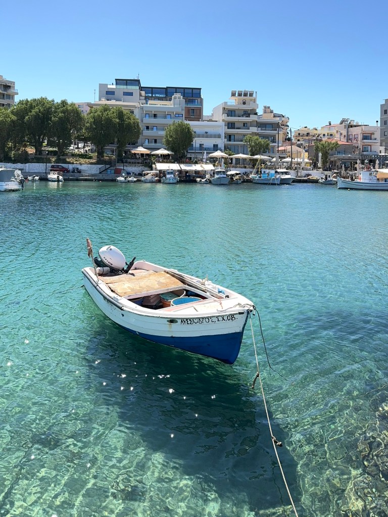
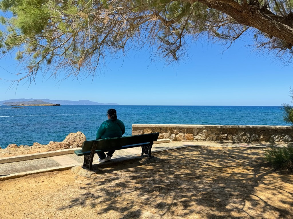
A charming old town on a popular tourist destination Greek island, Chania hadn’t gone to bed yet when we started walking her streets at 8:30 am – or, at least the clubs had not.
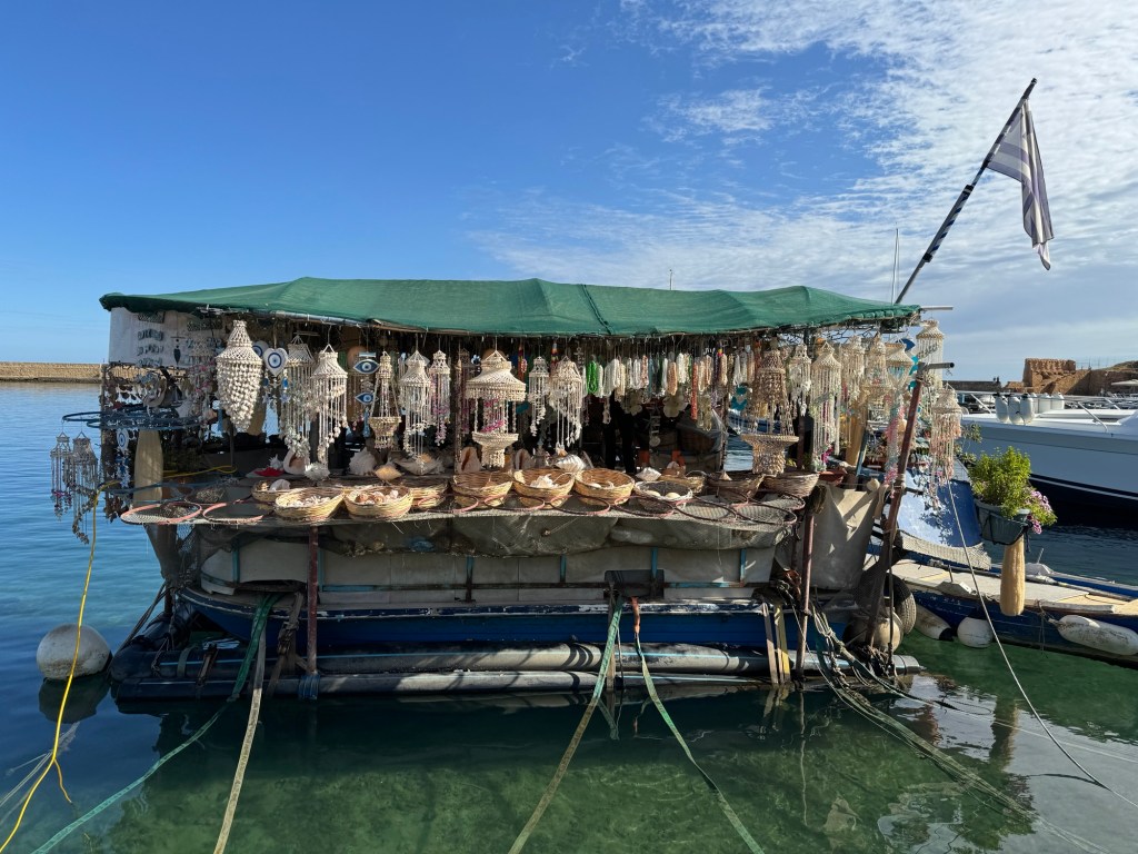
We wandered the old port, checking out the tiny minnows in the crystal-clear waters.
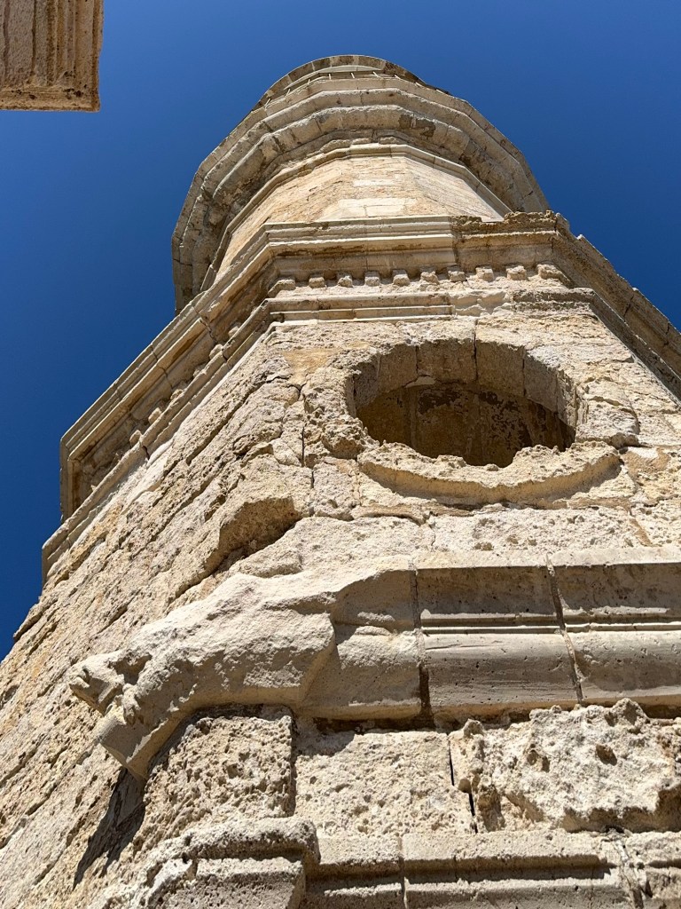
The harbour is dominated by a Venetian lighthouse built in 1864 by Egyptian troops aiding the Ottoman Empire; the base dates from the previous lighthouse, 1645.
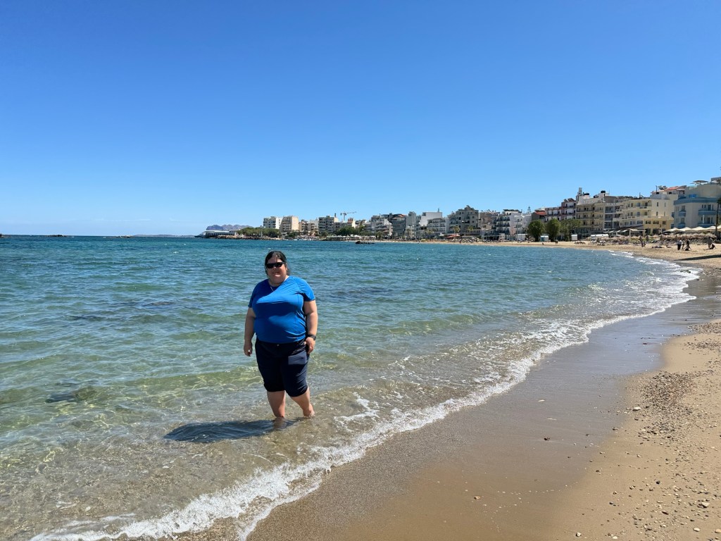
After walking the breakwater to the lighthouse and back, we wound our way along the water from the old port to Nea Chora beach. Mom and Jen rolled up their pants and went wading – the water was warm and delightful.
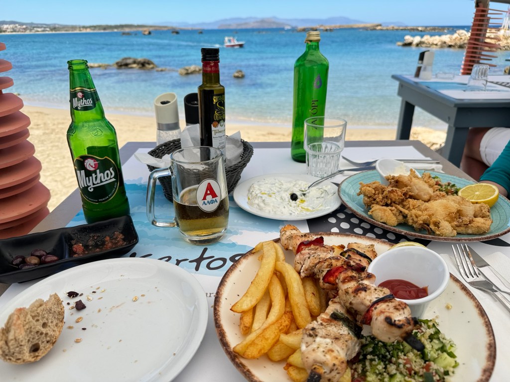
After walking in the waves and re-confining feet to footwear, the group split. Mom and Dad went back to the old port to wander, while Jen and Dave got a beachside table at a Greek family restaurant.
Lunch included bread with a tomato dip, olive oil, and an assortment of olives; tzatziki and fried fresh caught squid, chicken souvlaki, French fries, and a mint-dill couscous salad. They also gave us a complimentary dessert – we think it was Yiaourtopita – and Mastika liquor.
After lunch we wandered slowly back to the bus stop and returned to the ship. Tonight is Koningsday (a major Dutch holiday; the ship is flagged Dutch), and there is a special Holland-themed dinner and an Orange Party.
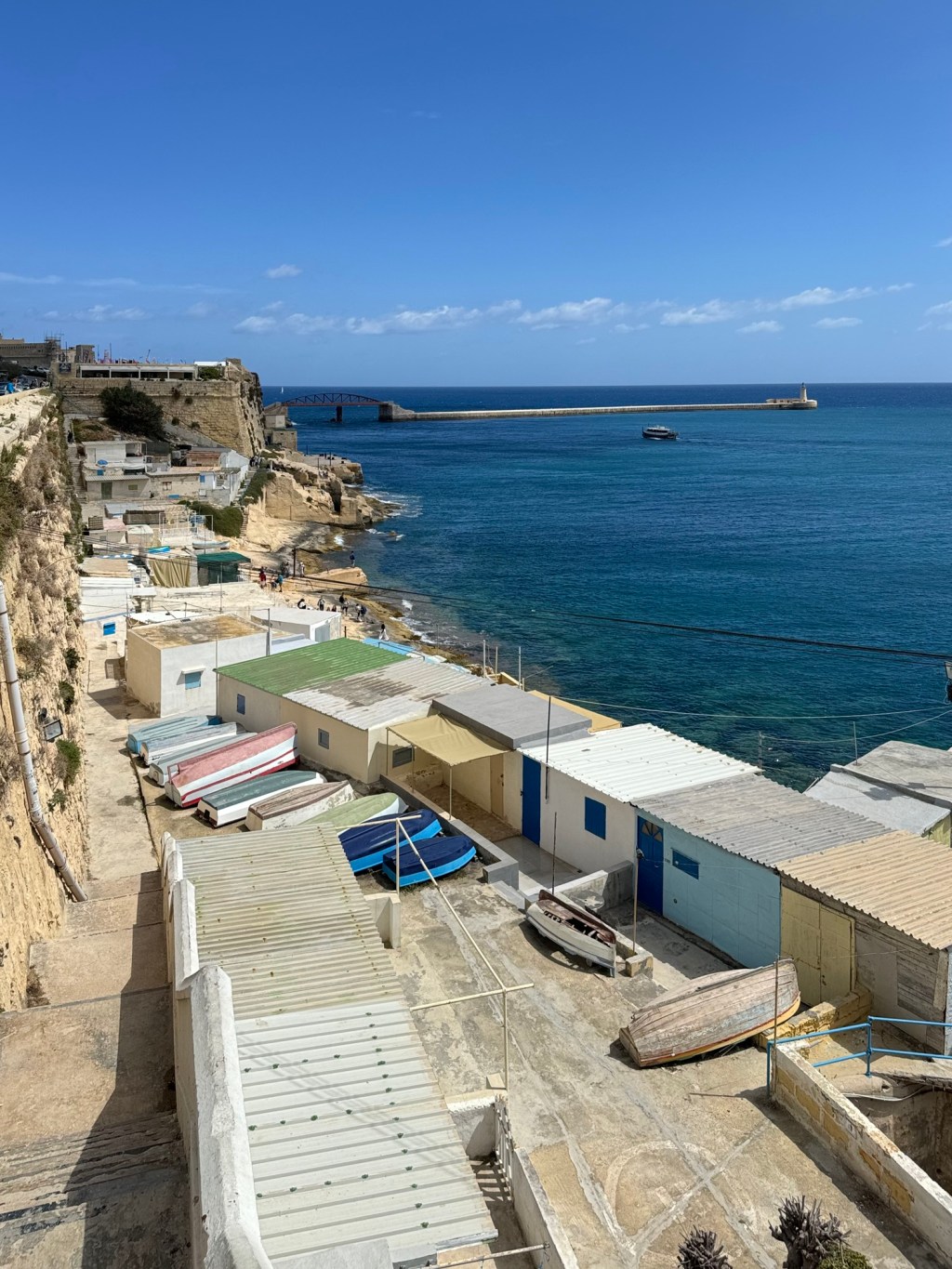
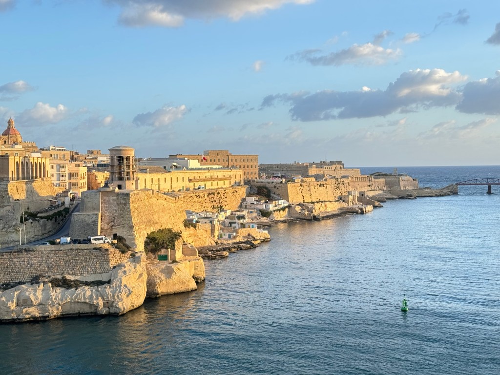
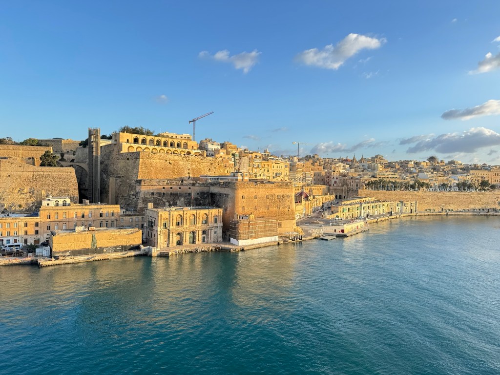
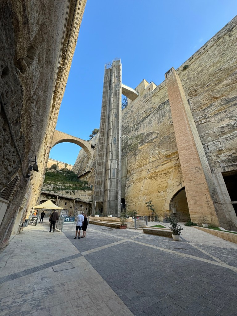
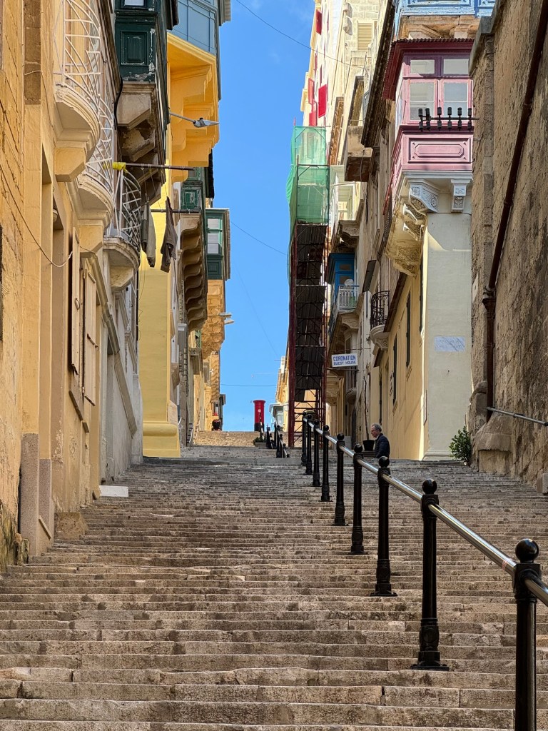
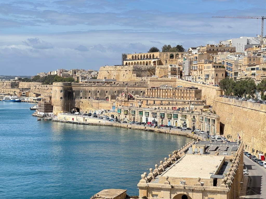
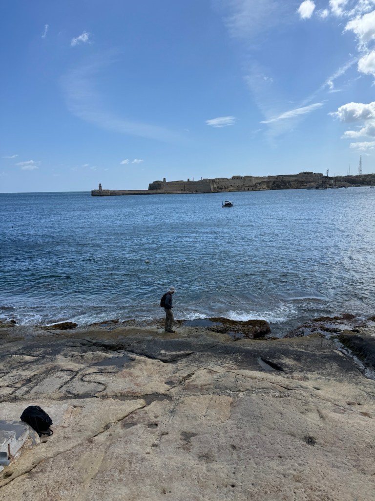
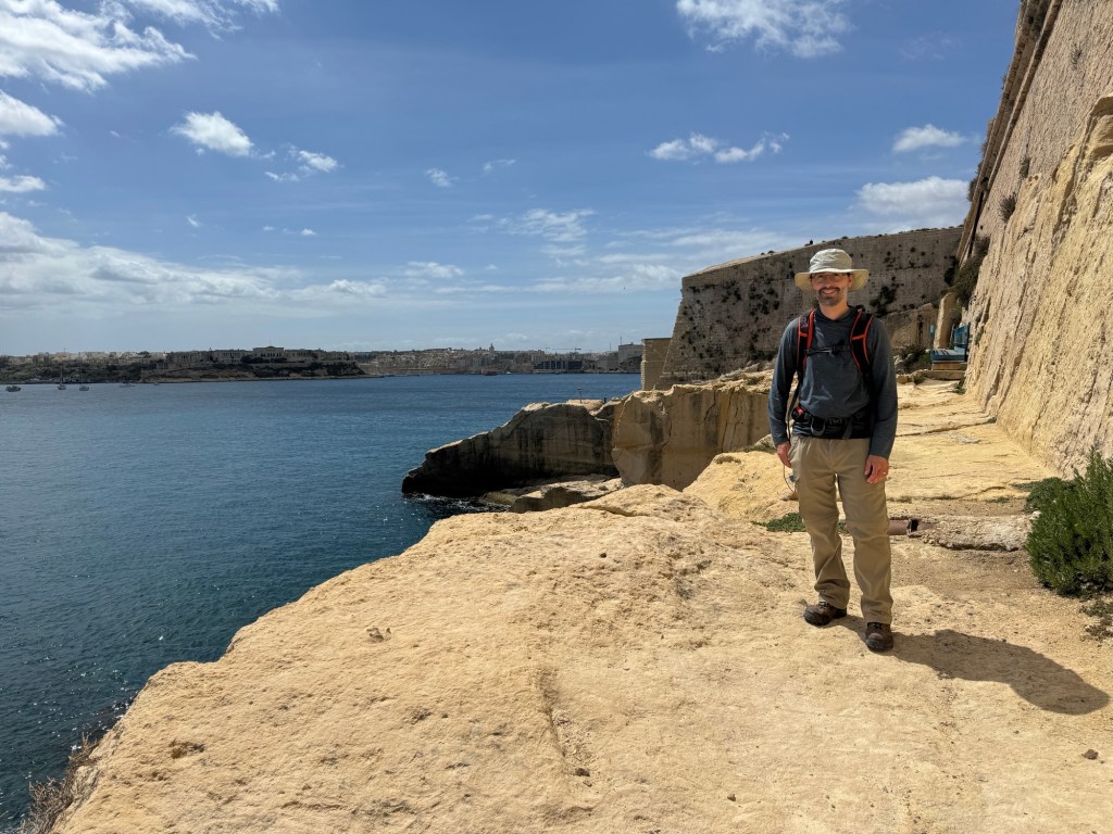
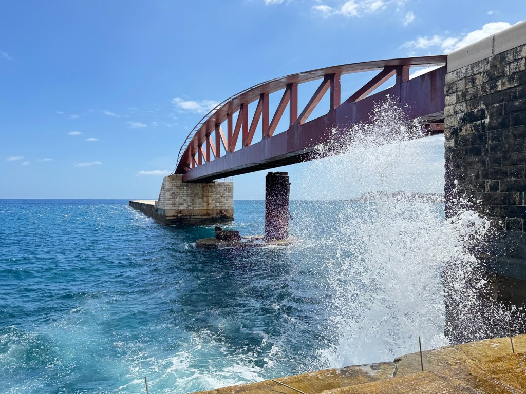
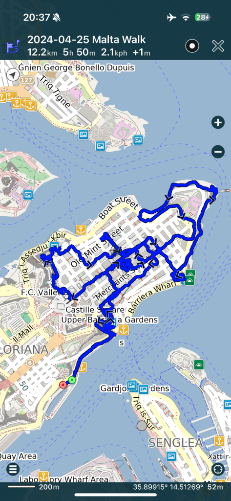
Early this morning we pulled into the tiny port of Valletta in Malta, squeezing past the breakwater and docking on the three cities side. Heading shoreside, we immediately boarded a slightly smaller boat to be shuttled across the harbour to Valletta proper.
Good morning MaltaAmazing city carved from its own foundationsA heavily fortified city
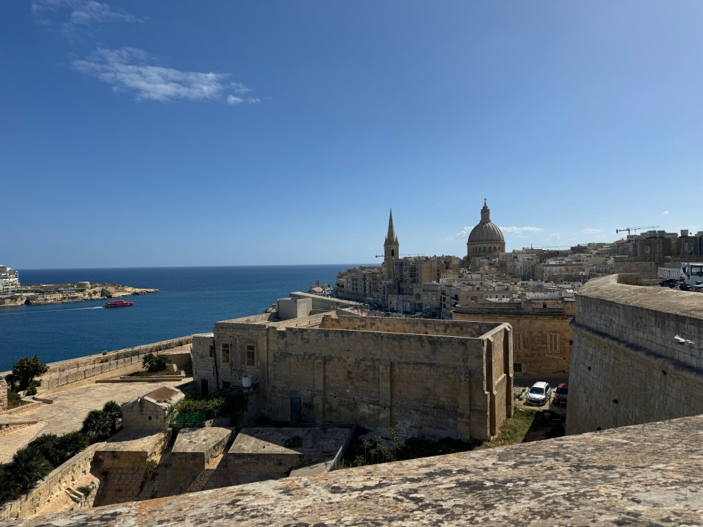
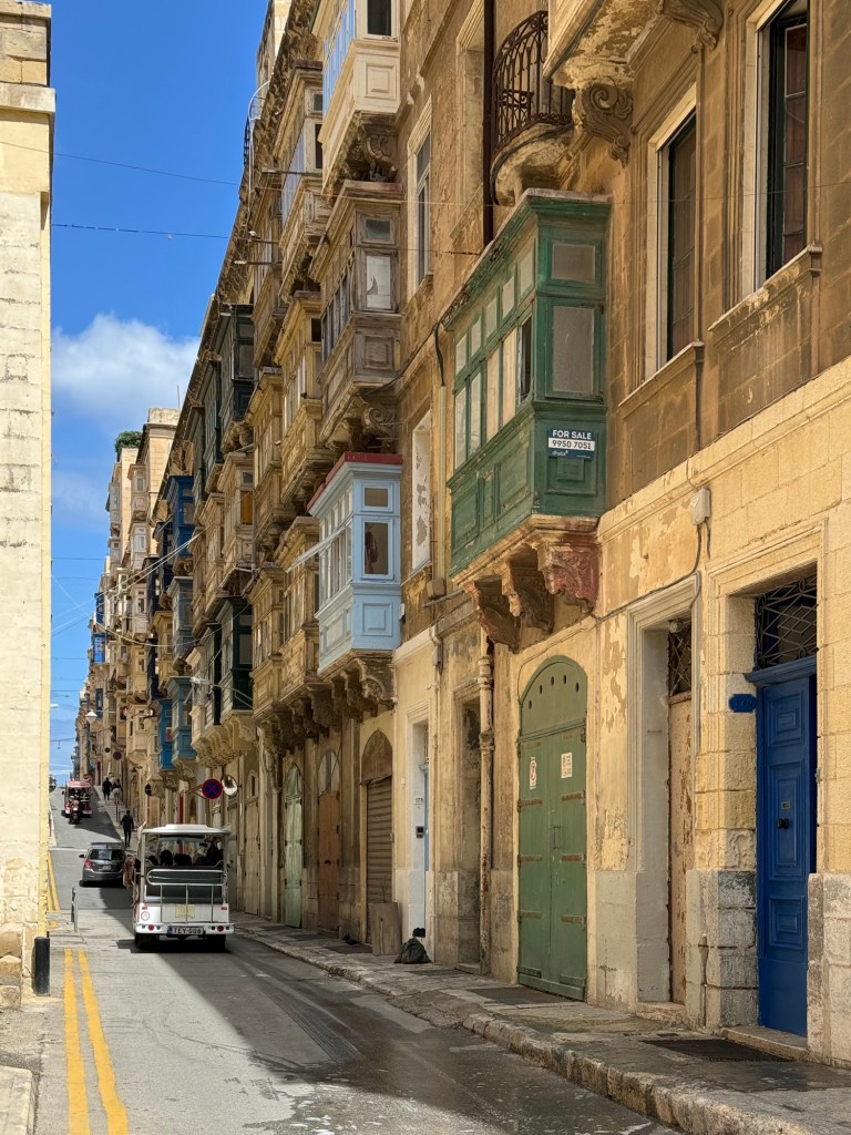
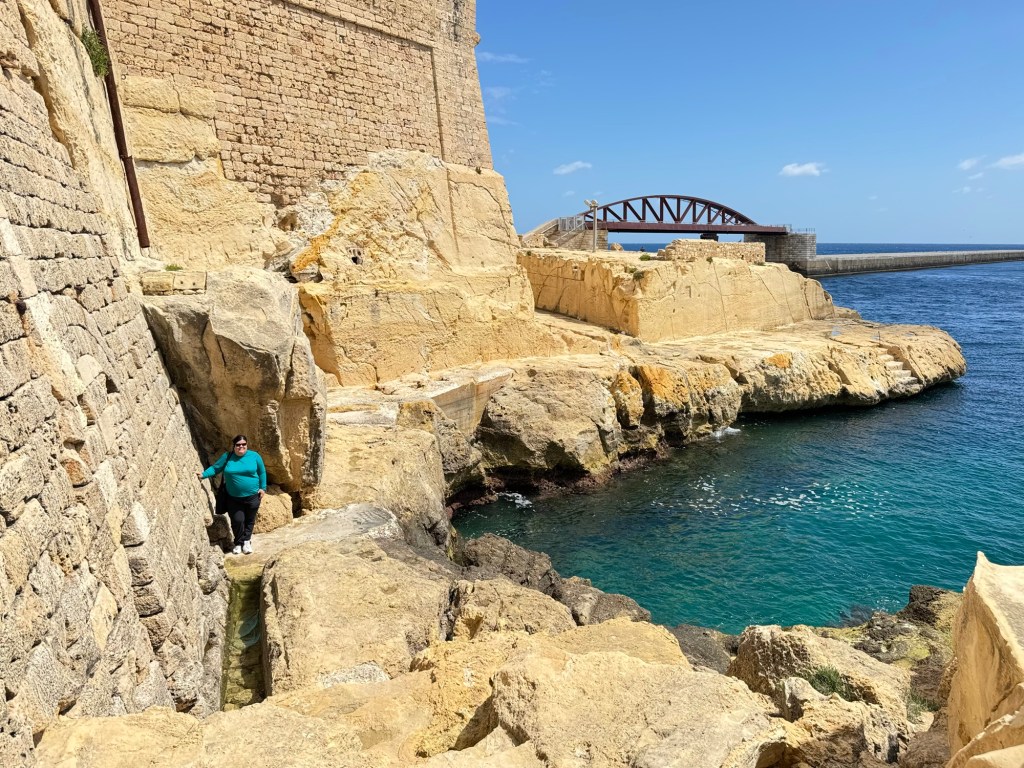
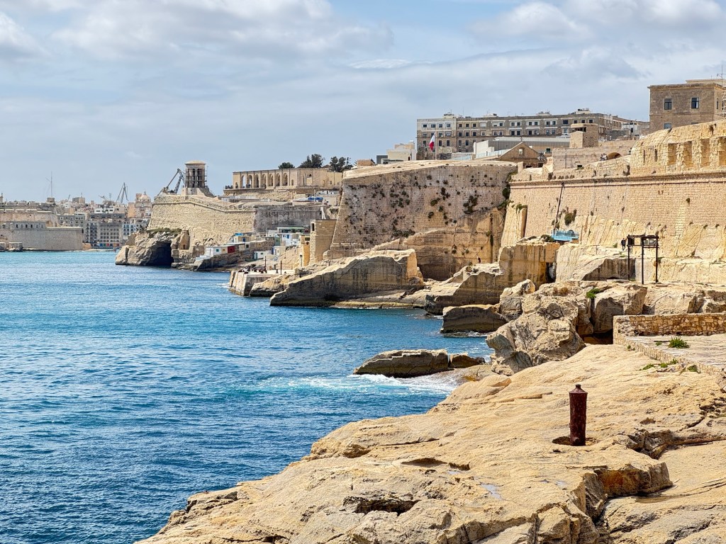
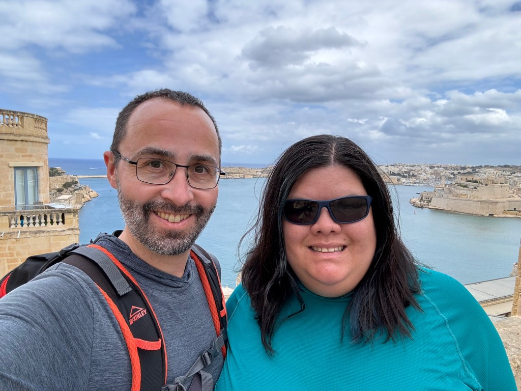
Taking the elevator up to the level of the main city, we started wandering through the beautiful, historic city carved out of and built out of the limestone bed it sits upon.
The elevator
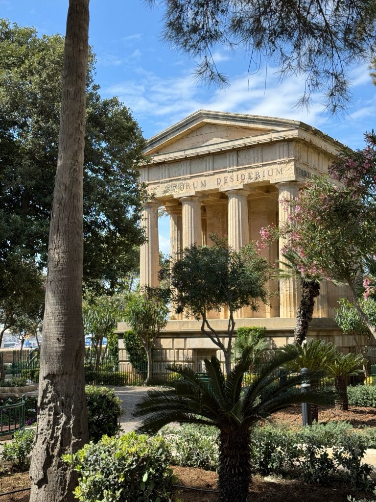
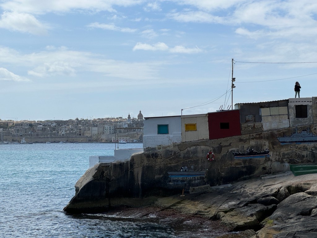
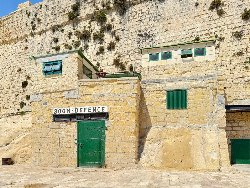
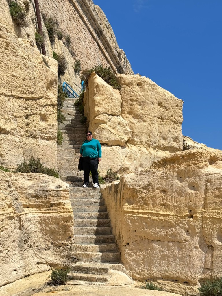
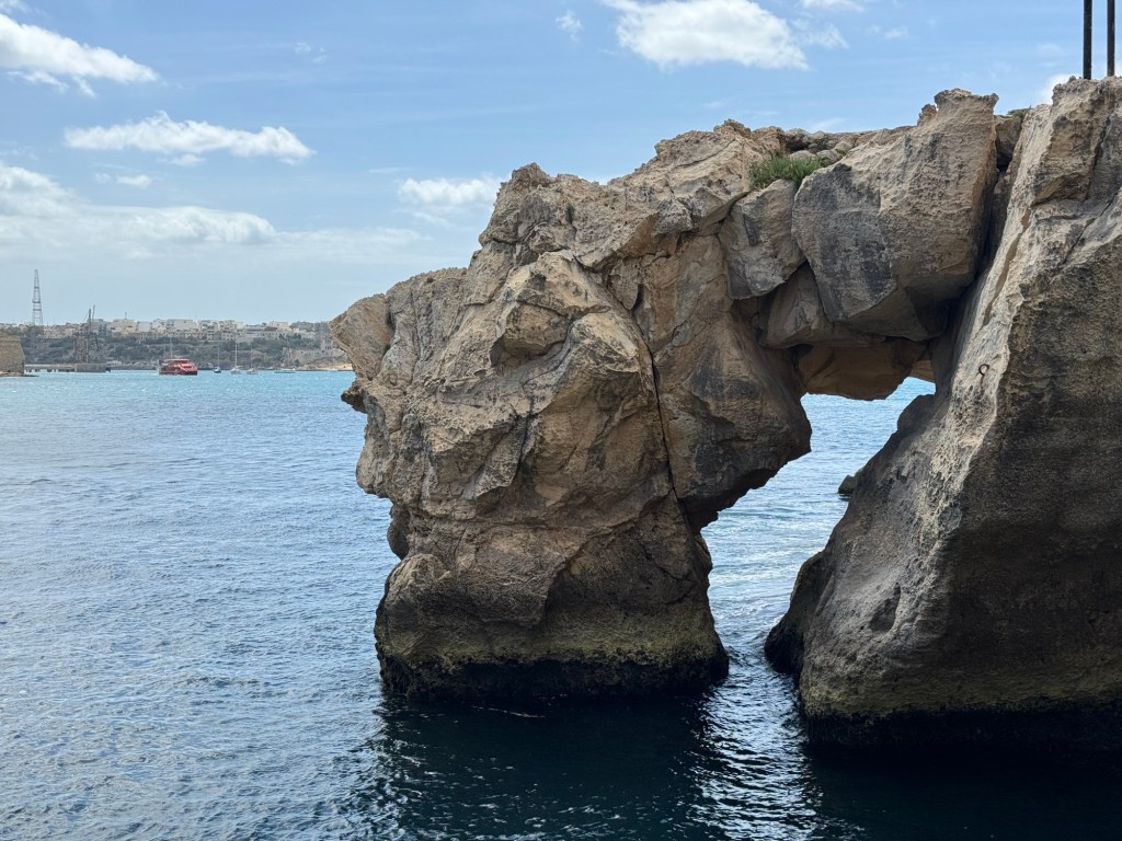
We walked here and there, enjoying narrow streets, gardens and coastal views. Next, we dropped down below the fort to the water’s edge, scampering up and down staircases and trails. It was beyond gorgeous.
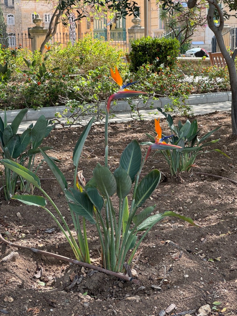
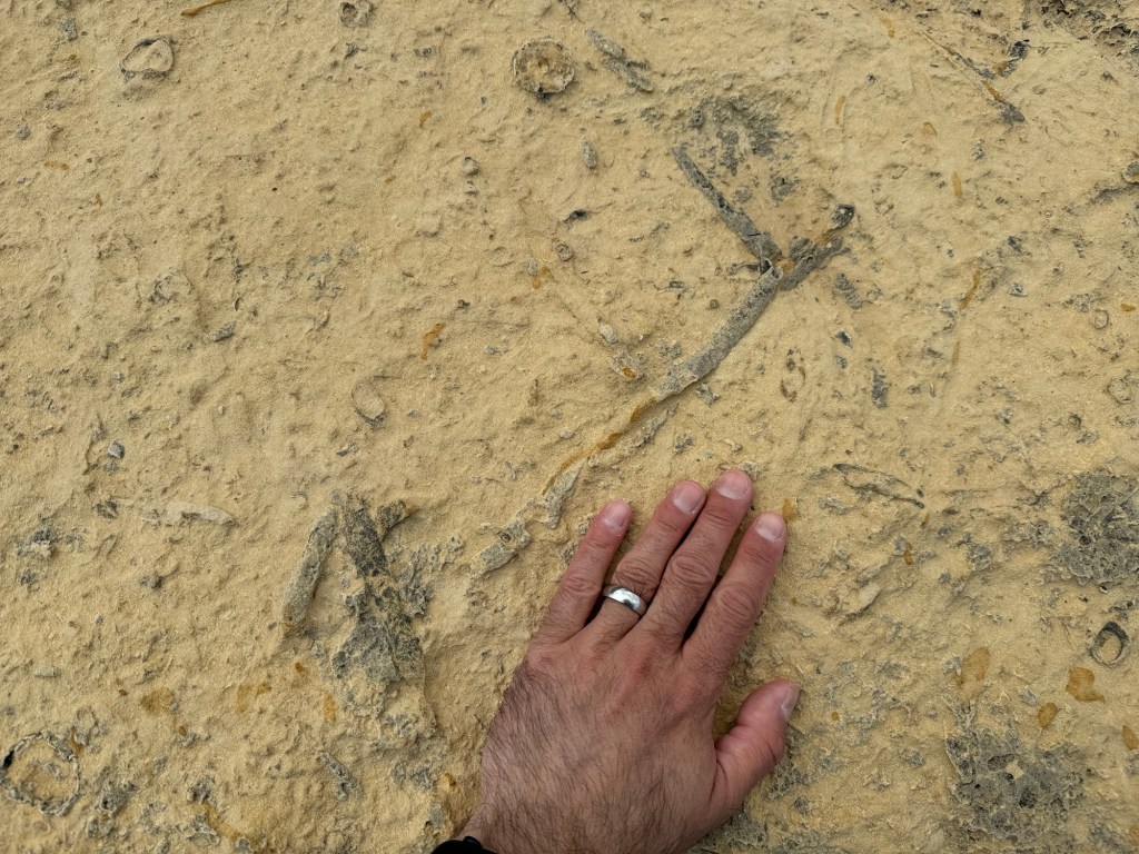
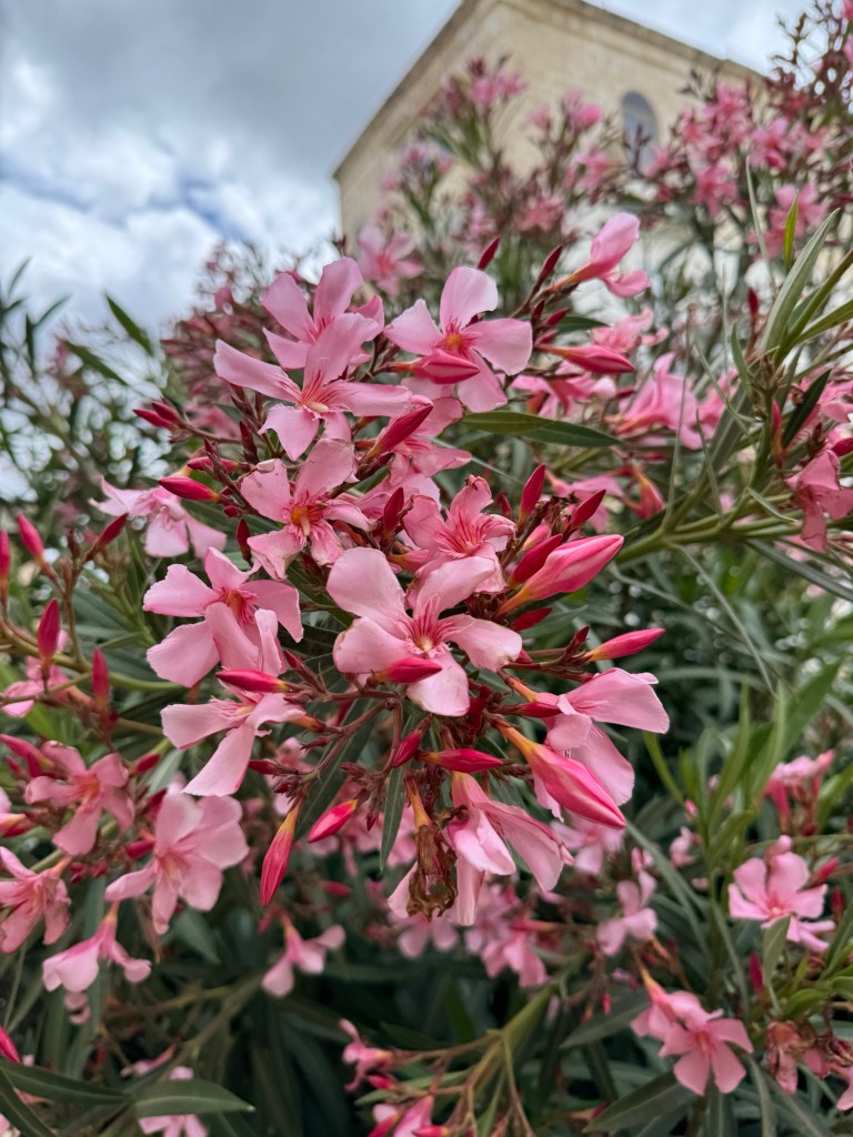
The historic battery fires at noon dailyBirds of paradise !From the gardensThe “streets” are staircases Garden glimpsesBeautiful colours Coloured doorsBoat shacks on the coastDave walks the waterfront Boat shacks IINot sure what to think…Stairs carved from stone on the waterfront Rock cut here became buildingsIt was an interesting path to follow A small sea archJust a gorgeous coastline The breakwater We think these are fossilsPink flowers
After completing our walks we found a pâtisserie and enjoyed local treats – a pistachio cannelloni and imqaret, a pastry filled with dates.
A lovely spotOur walk
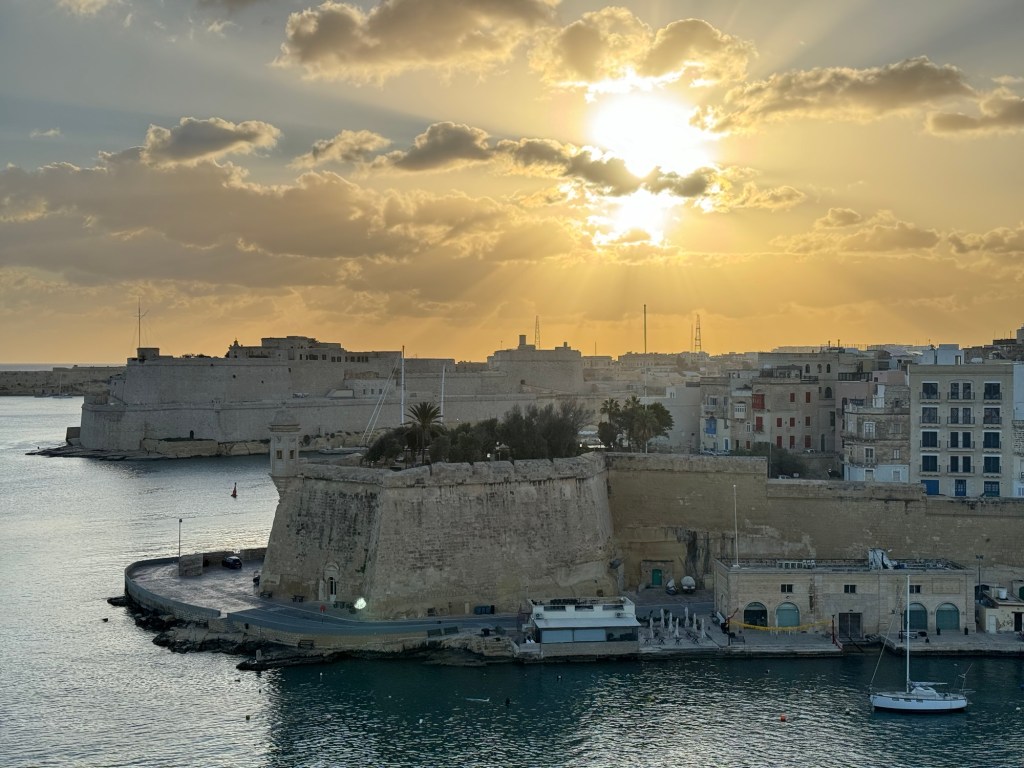
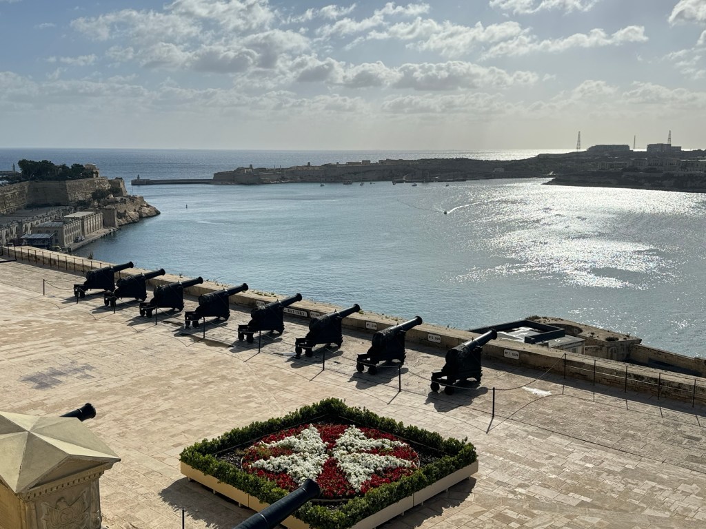
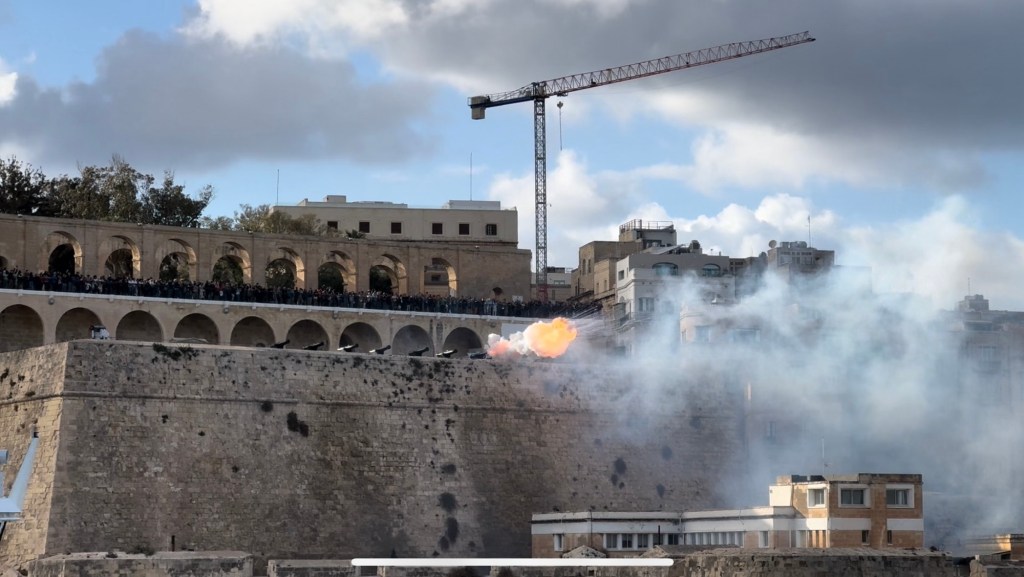
Heading back to the ship for a quick shower, we watched the ship leave port, including a special salute of six cannons.
Cannon salute to say farewell
Malta is definitely on the list of places to return to visit more comprehensively.
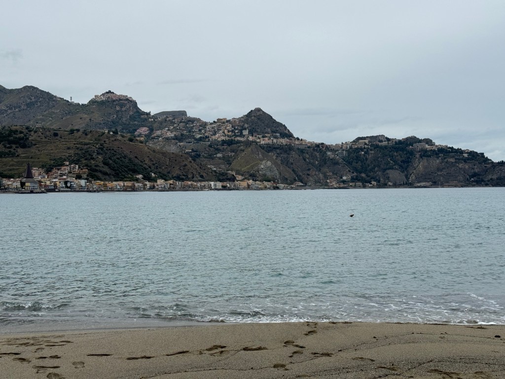
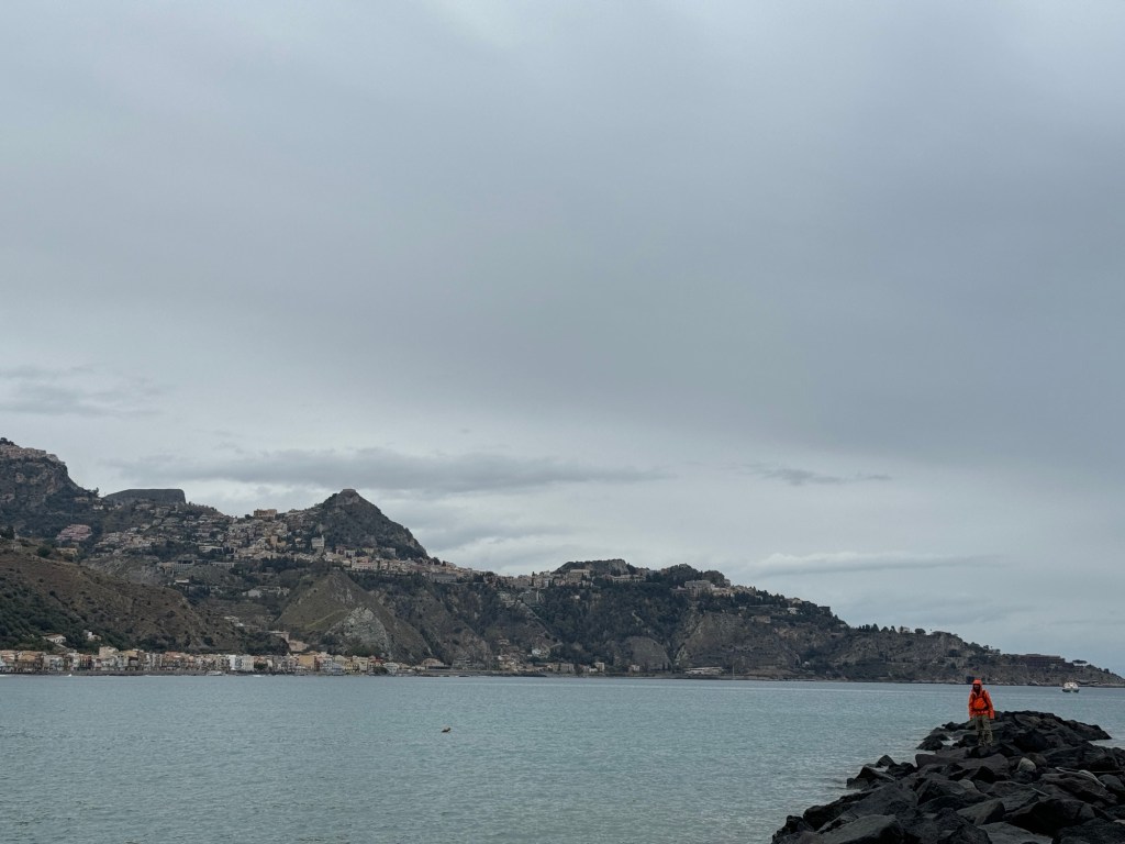
Today’s stop was an anchorage near Taormina, Sicily – a small place called Naxos.
The volcanic beach of Naxos.The streets of Naxos.
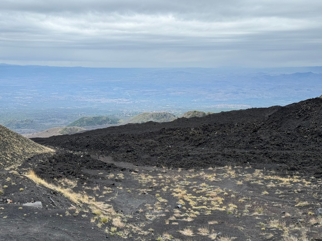
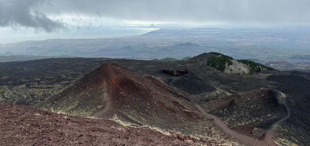
Today’s activity was a bus trip most of the way up Mt. Etna, an active but “gentle” volcano. En route we saw the remains of flows, birch trees, an endemic species of broom, and even a fox!
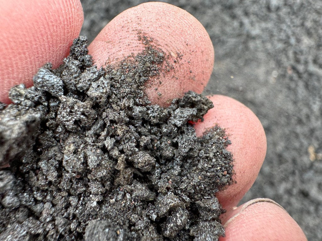
Newer flows and older flows Volcanic dust and debris is incredibly lightNature begins to reclaim
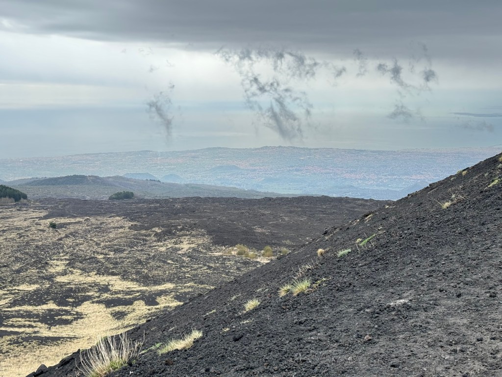
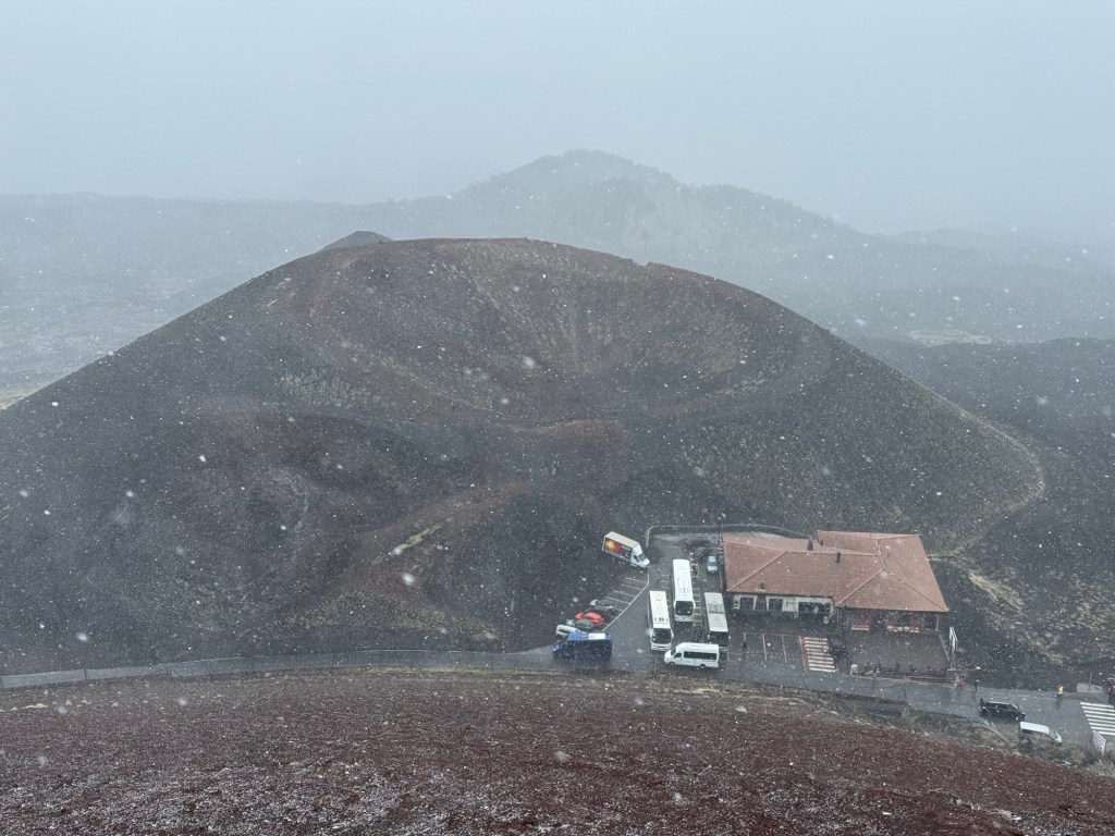
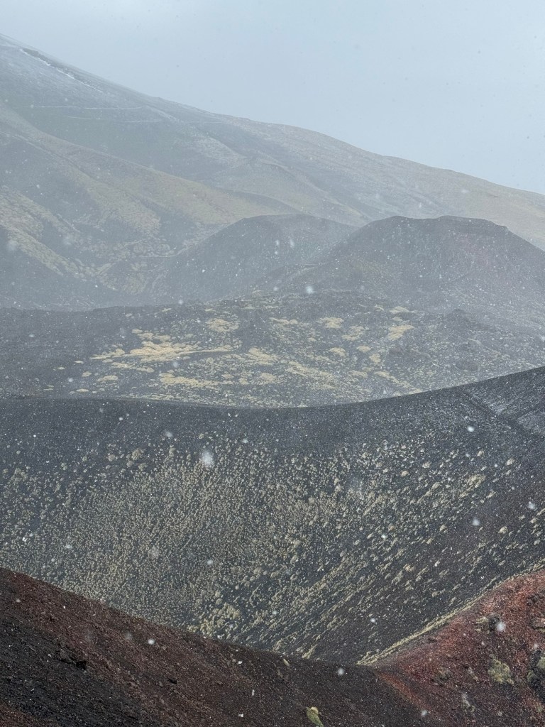
Our destination was Silvestri Crater, where we did a cold, windy narrated walk around the inactive rim. It snowed, and the group quickly thinned to the coffee and gift shop.
The view from the rim of Silvesti craterVolcanic flows of different colours are from different eruptions
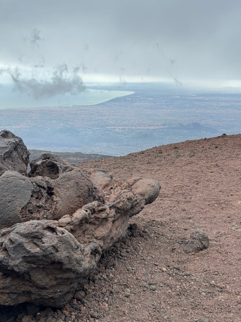
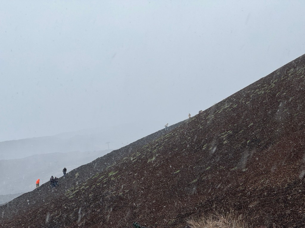
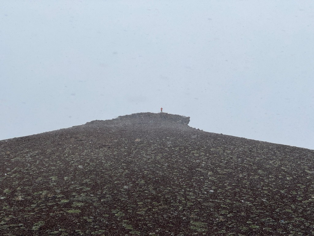
After the crater walk Dave climbed the loose pumice to a lookout point (with Dad going partway), despite the snow getting heavier in the biting winds.
Dave, in the orange jacket, begins the lookout climbDave at the top!Looking down from the topViews through the snow
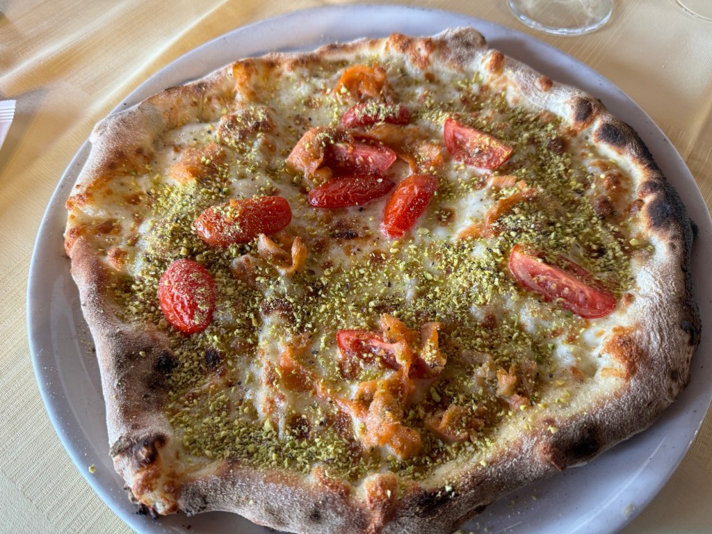
Returning to Naxos, we found a pizzeria and tried out wood-fired Sicilian pizza and local wine that came in a half-litre jug.
The Royal – smoked salmon, tomatoes and local pistachios on wood-fired crust
Prior to boarding out tender and saying farewell to this piece of coastline we walked to the beach and touched the sea.
Seaside viewsLooking across to Taormina Dave went clambouring
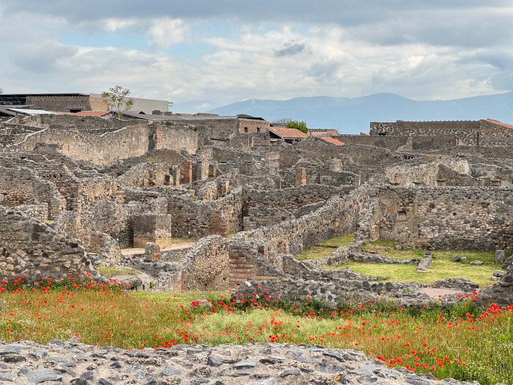
Today the ship docked at Naples, where we met a private guide arranged through the ship. We had booked tickets to Pompeii, and we were matched with a guide who had an archaeological background who had previously dug at Pompeii – we felt so lucky to have Mario.
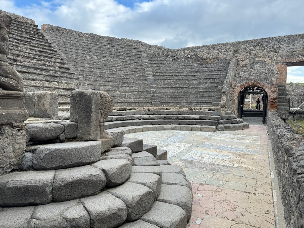
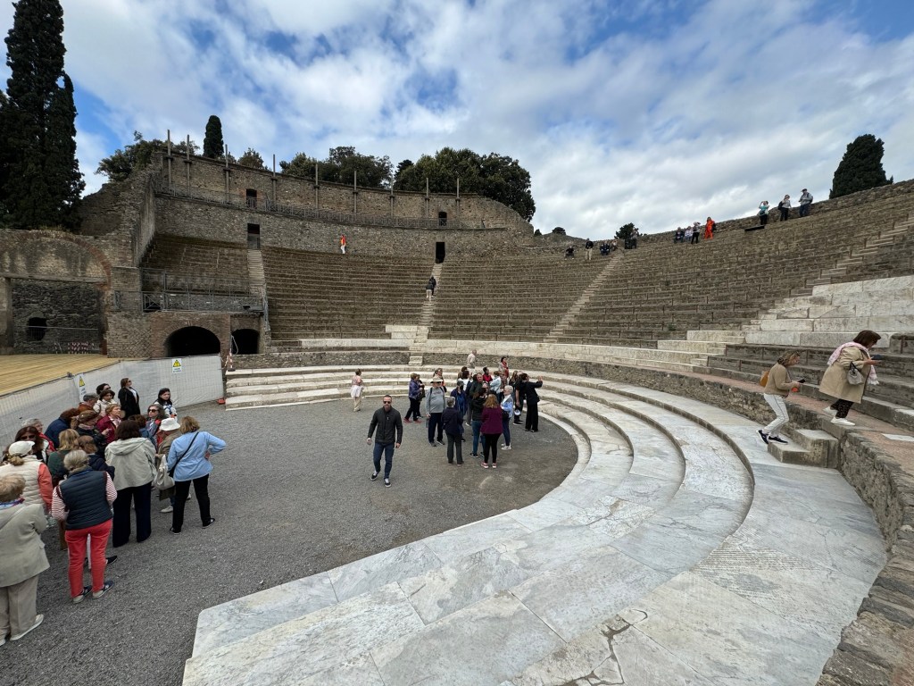
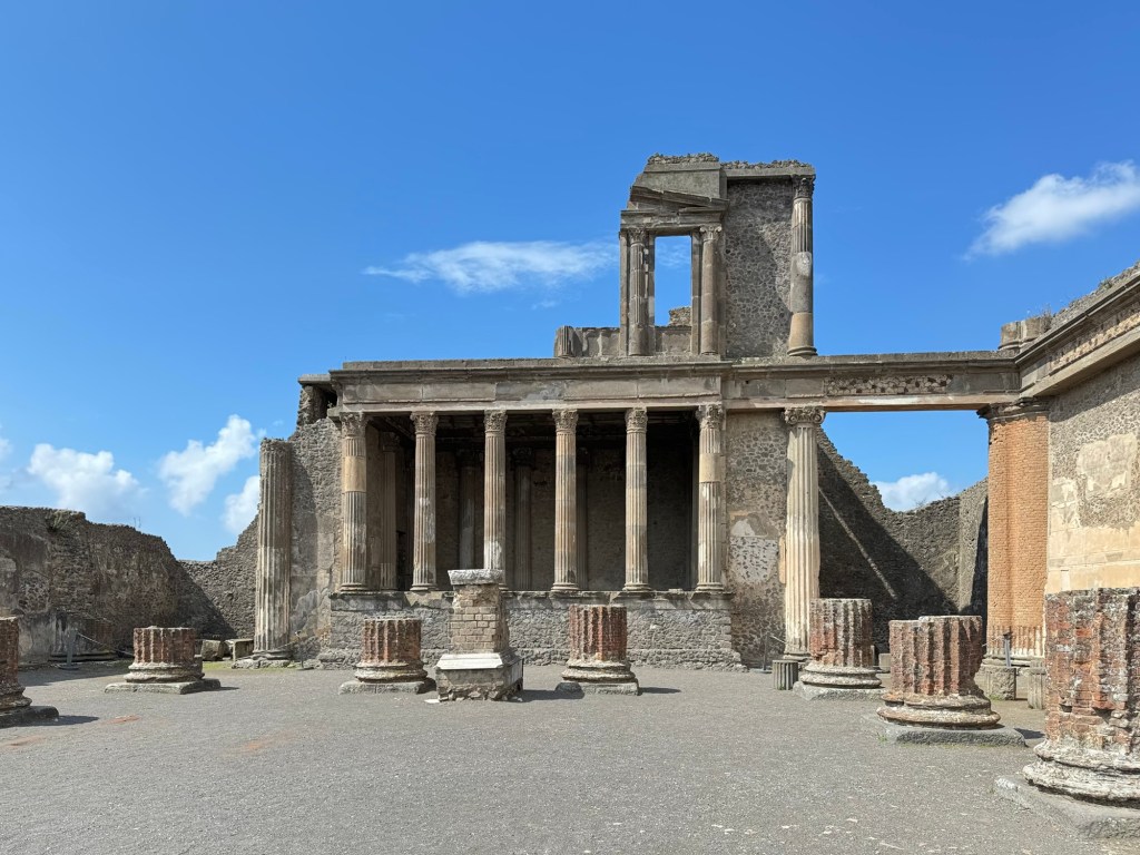
The first thing we saw was a pair of theatres, dating to Greek times. The small theatre was exclusively for music, the large for a variety of events.
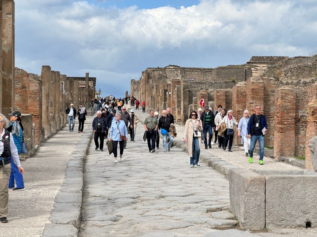
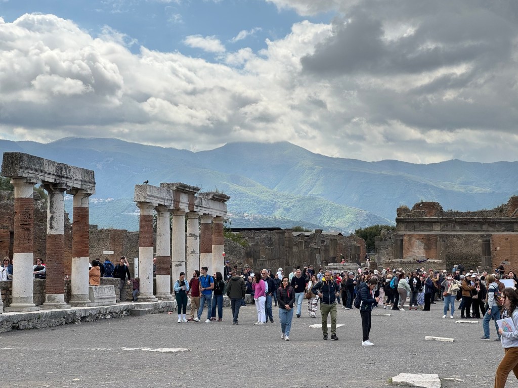
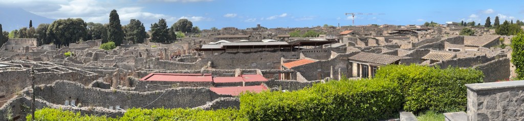
Climbing to the top of the large theatre, we were met with a jaw-dropping view, an introduction to the extent of the ruins. Villas, businesses, and more – a whole city for twenty thousand before us. The surreal feeling started.
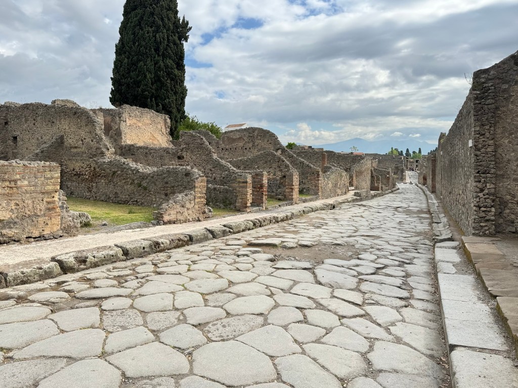
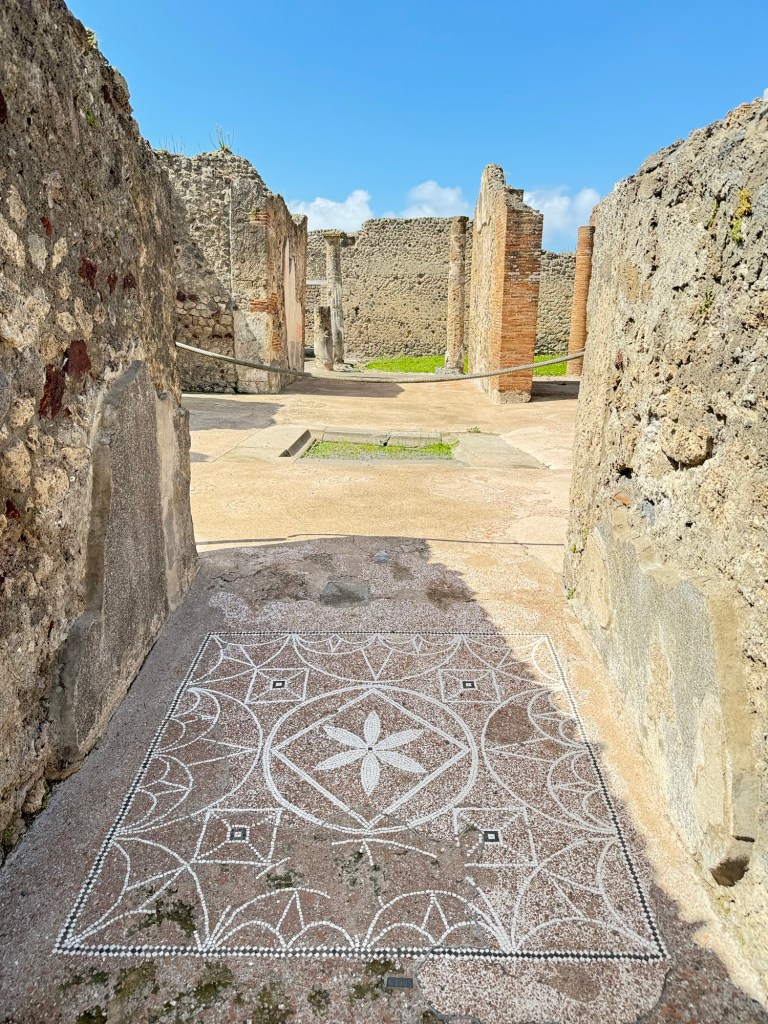
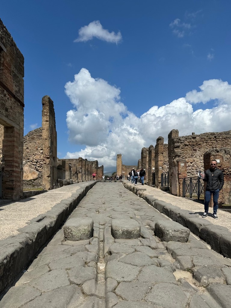
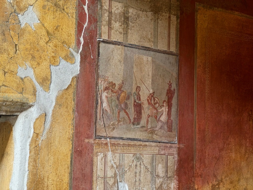
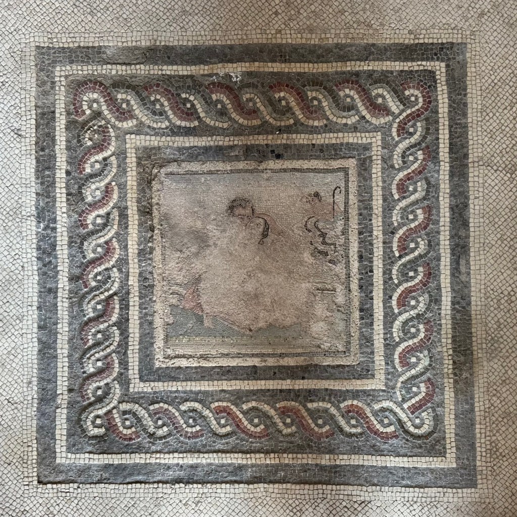
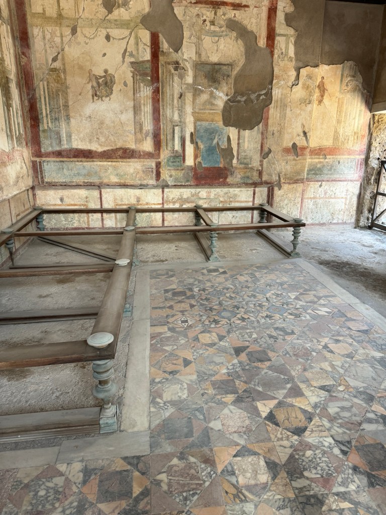
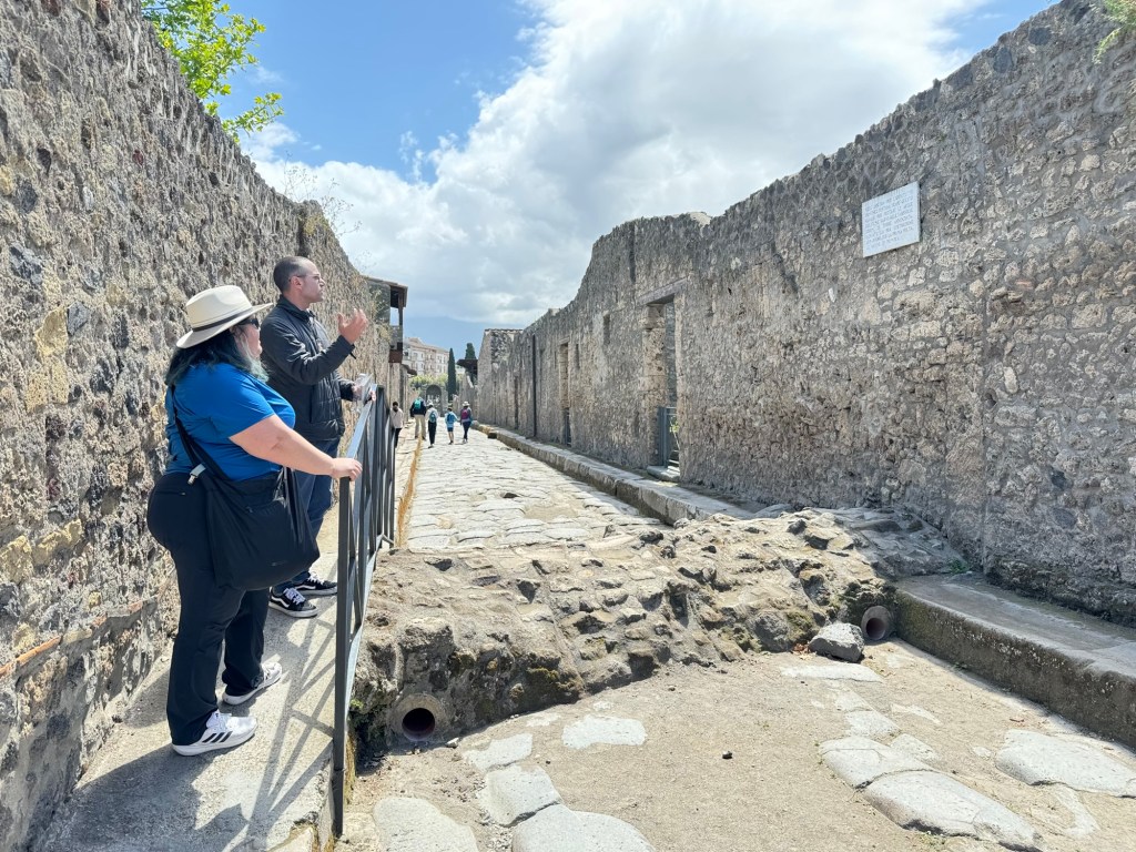
The level of preservation is crazy. You are walking on two thousand year old streets of flagstone, gazing at frescos and mosaics as they were enjoyed before the eruption.
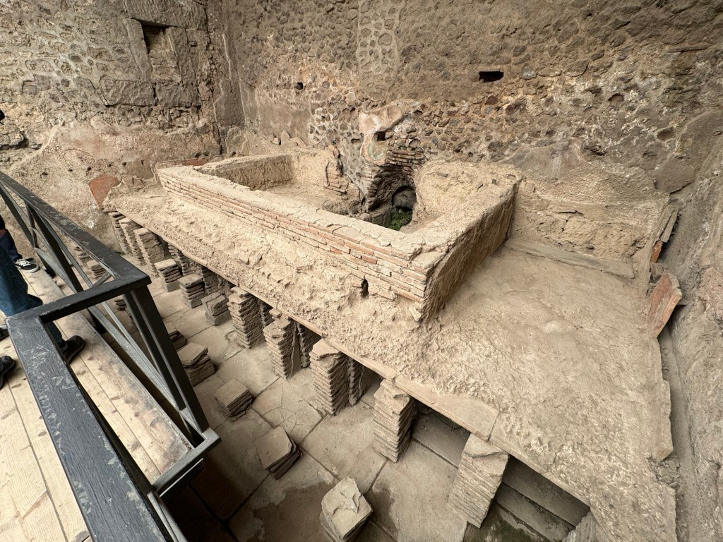
The impressive public baths wowed. They were build as a double-wall-floor, allowing heated air to circulate in the warm and hot baths. The fire was stoked in the other side of the wall. Lead pipes brought in water where it was needed.
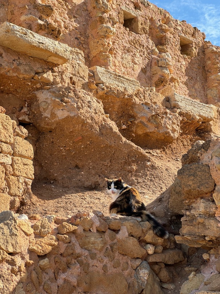
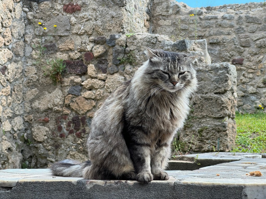
Cat break! Cat fact: feral cats make their homes throughout the site.
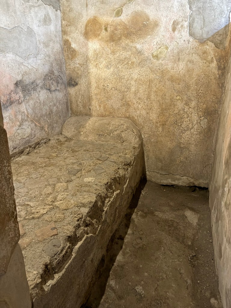
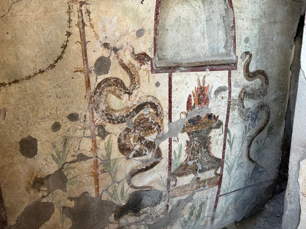
Back in the day, a different type of cat exercised the oldest profession, with stone beds and preserved (but not pictured) fresco “menus.”
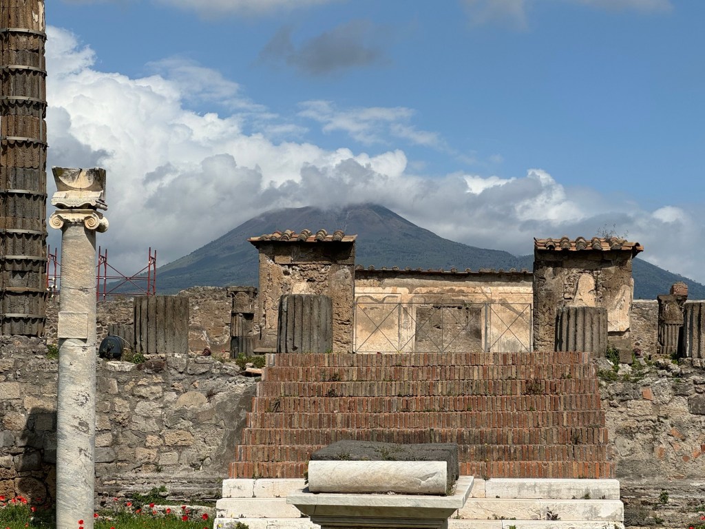
The market was an incredibly beautiful space, oriented to a cloud-shrouded Vesuvius.
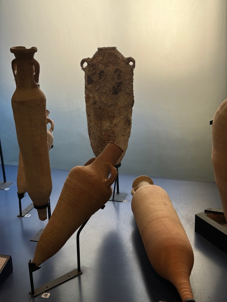
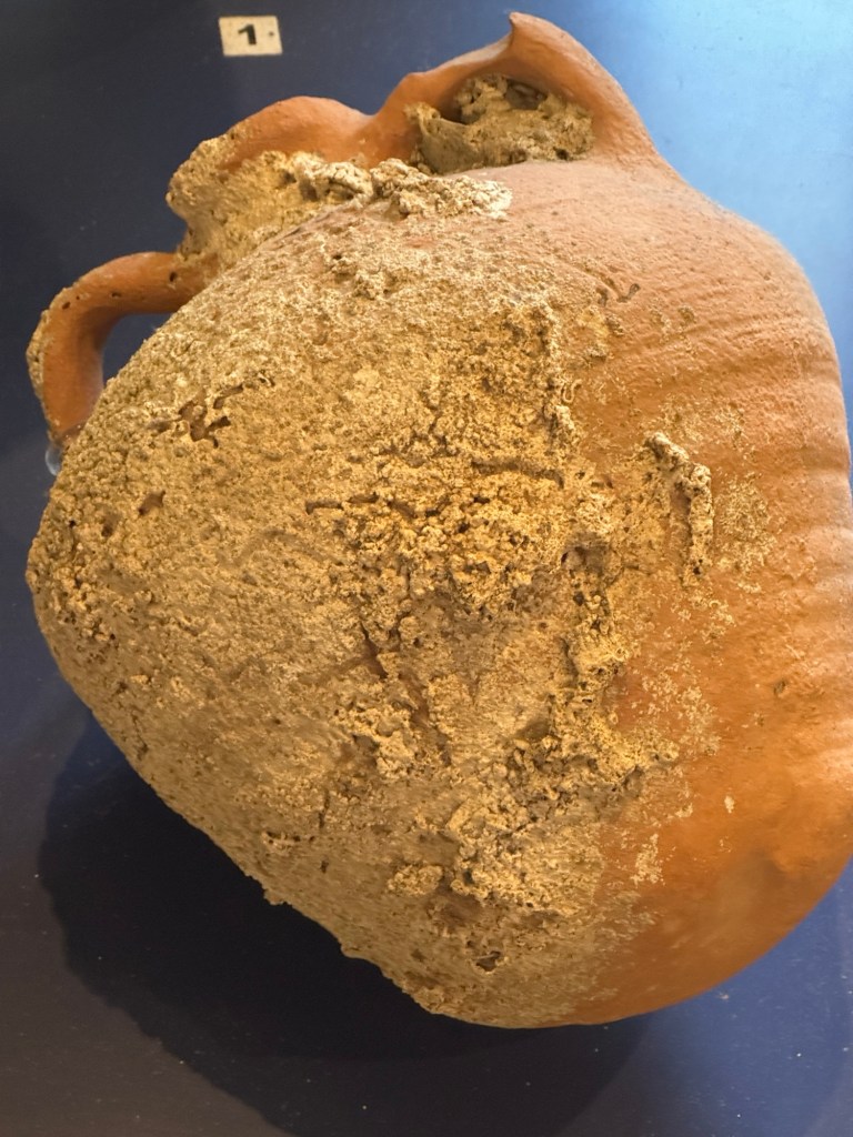
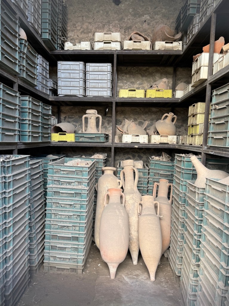
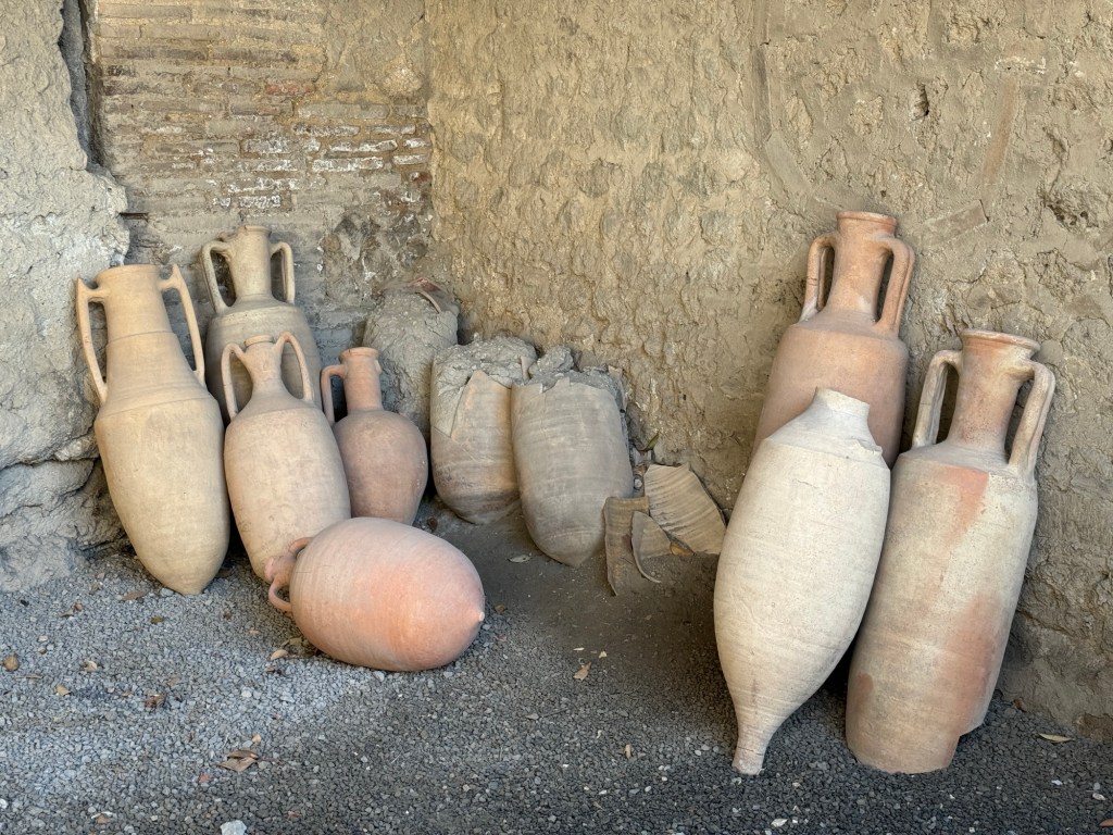
Sporadically through the site were storage areas for artifacts in process. The amphoras were particularly impressive.
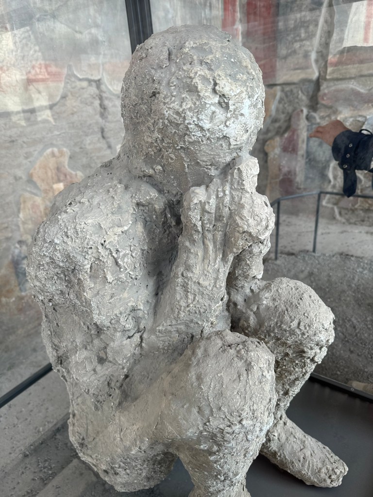
Most heart-tearing were the plaster casts made of the voids that once held biological material, like human bodies. The forms were so compelling.
The cool thing about this temple is the sundial in the semicircle at the top of the column on the left.
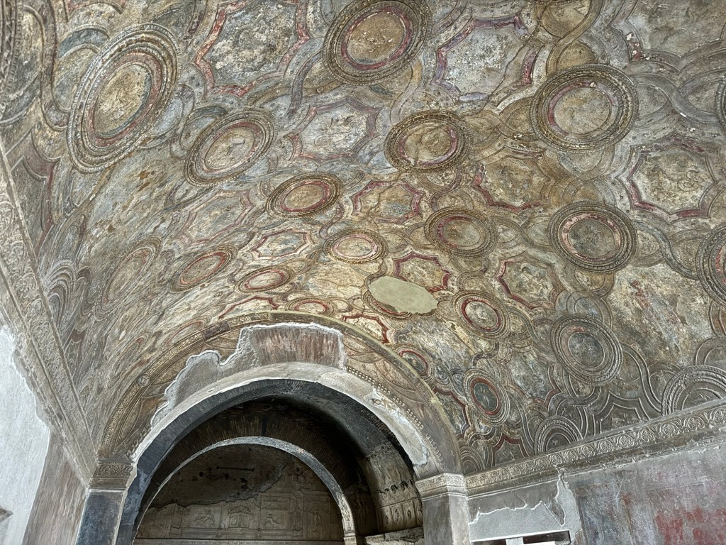
The higher-wealth villas had the most impressive mosaic floors.
The streets of Pompeii were used as open sewers, flushed by street corner fountains, so they had raised sidewalks and ingenious raised crosswalks.
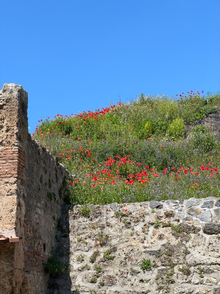
Climbing an unexcavated area allowed us to see exactly how big the city is.
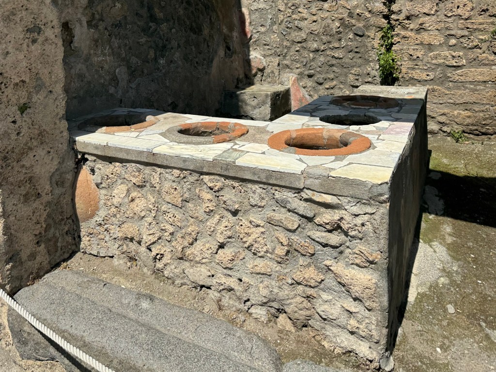
Fast food is an essential service in the modern city, and these hot counters served up the fast food of the day (mainly meat and grain soups).
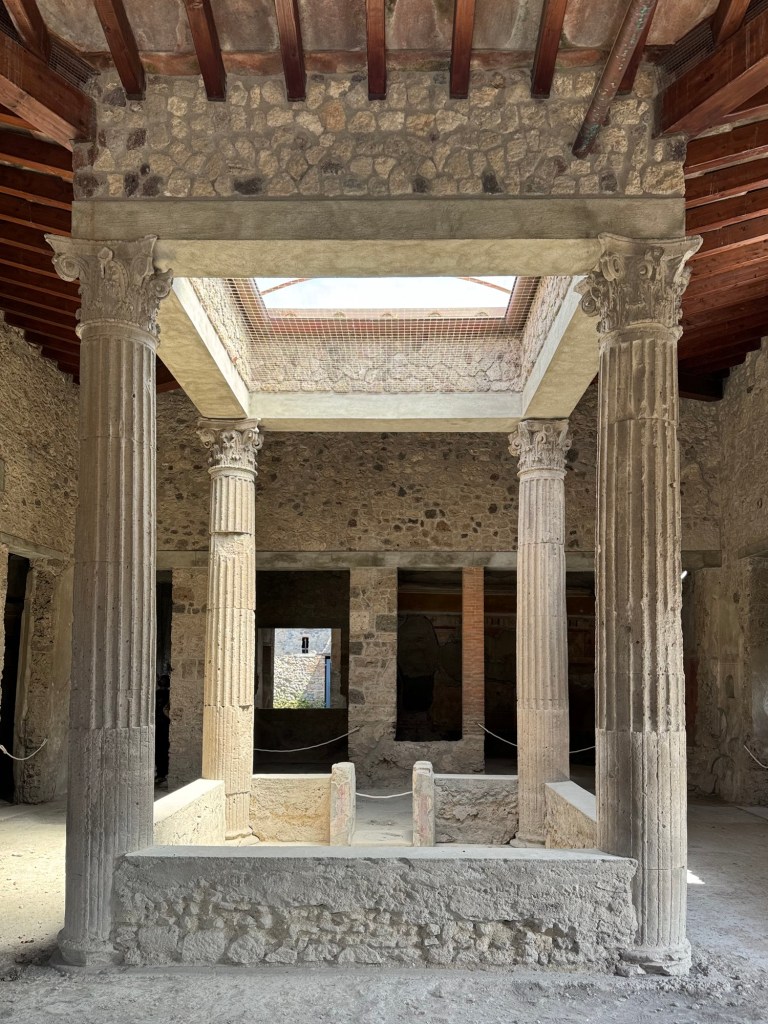
The water-view villas had some of the best art.
This rain water collection system filled a below-floor cistern.
This is where it all started – they were digging to put in this water pipe, and discovered Pompeii.
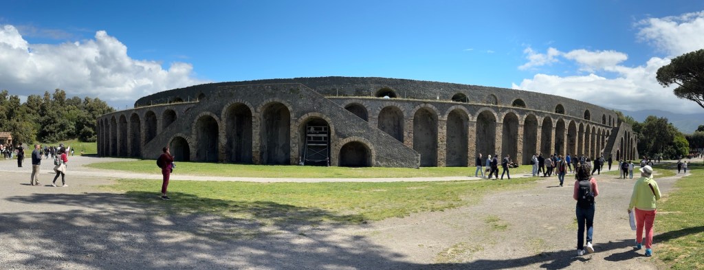
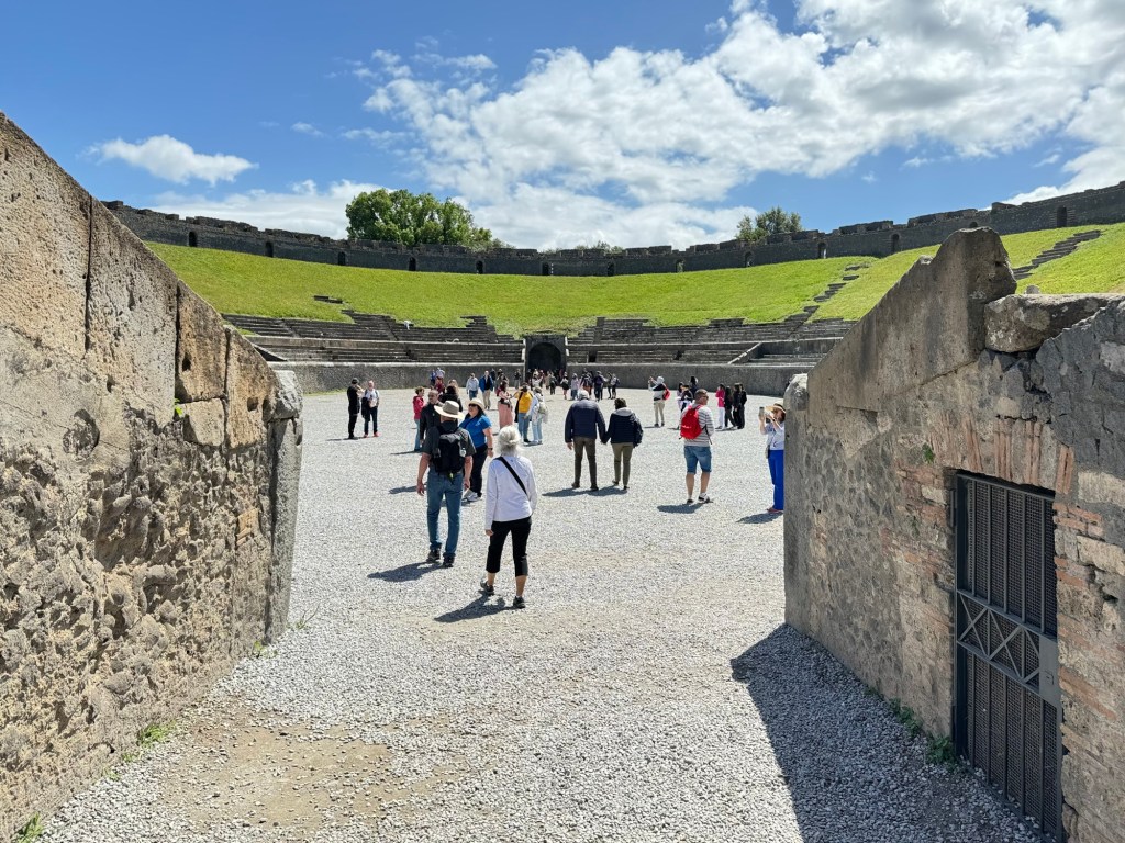
The Roman amphitheater – two Greek theatres put together!
Not built in a day, can’t be seen in a day, but we got the highlights.
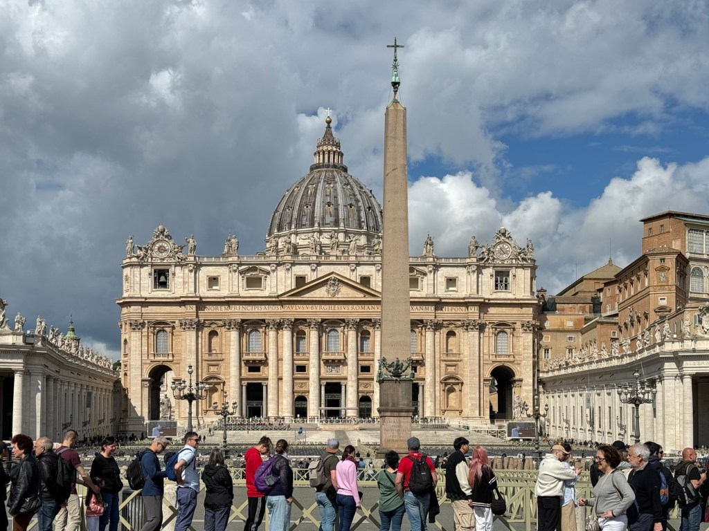
We started by bussing from the port of Civitavecchia to where Rome and the Vatican meet, St Peter’s Square, a two hour journey that Jen slept through.
Once we arrived at ten o’clock, we were turned loose with instructions to return by quarter to four to meet the bus to go home. Five hours, forty-five minutes of chaotic walking, gawking, and getting overwhelmed began.
Entrance into Vatican City was a non-starter given the time restrictions, but we took some time to gawk before Dave led us in a crazy route to hit all of the highlights.
The Vatican… and the line to enter
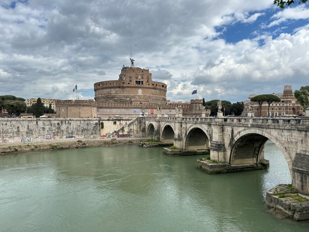
Everywhere we turned was ancient art, history, and rich culture. We walked first to the river, and saw Castel St. Angelo.
Castel St. Angelo, across the water
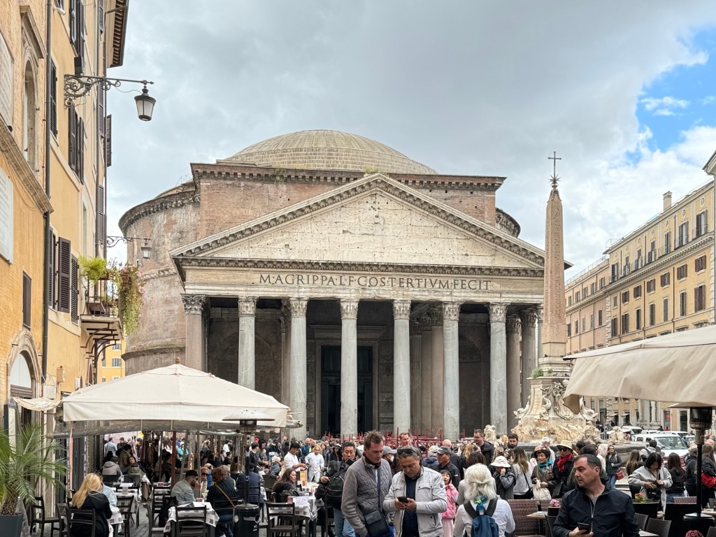
The first “big” site was the Panthenon, with its concrete dome – still the largest unreinenforced concrete dome in the world and standing since 125 CE.
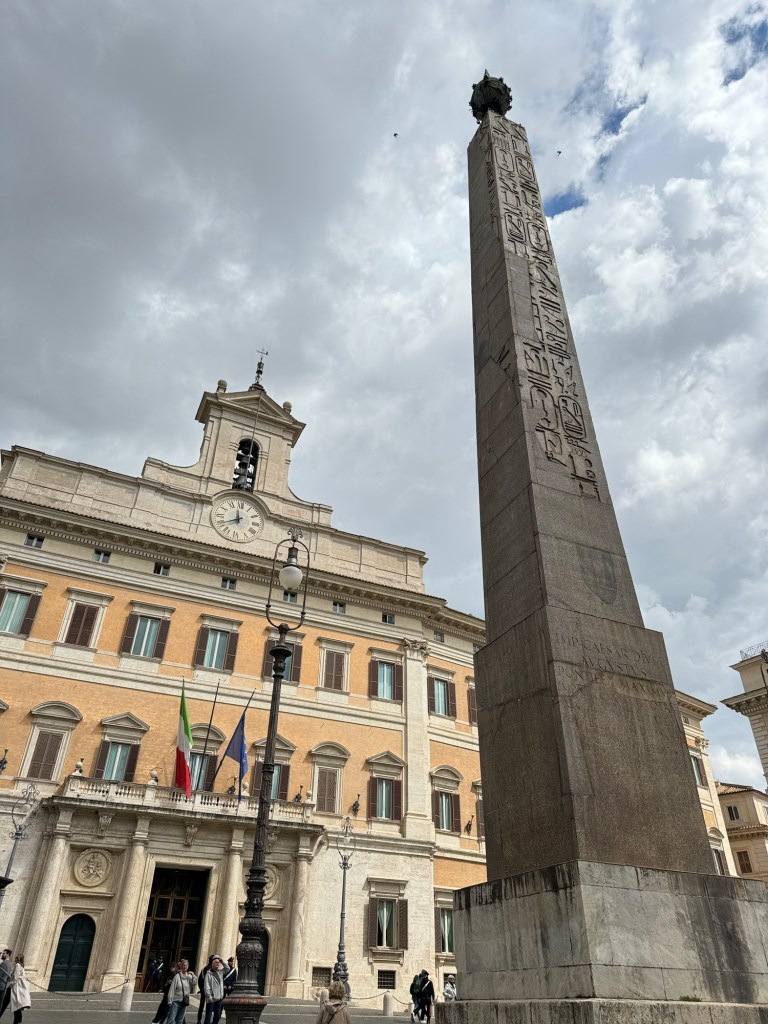
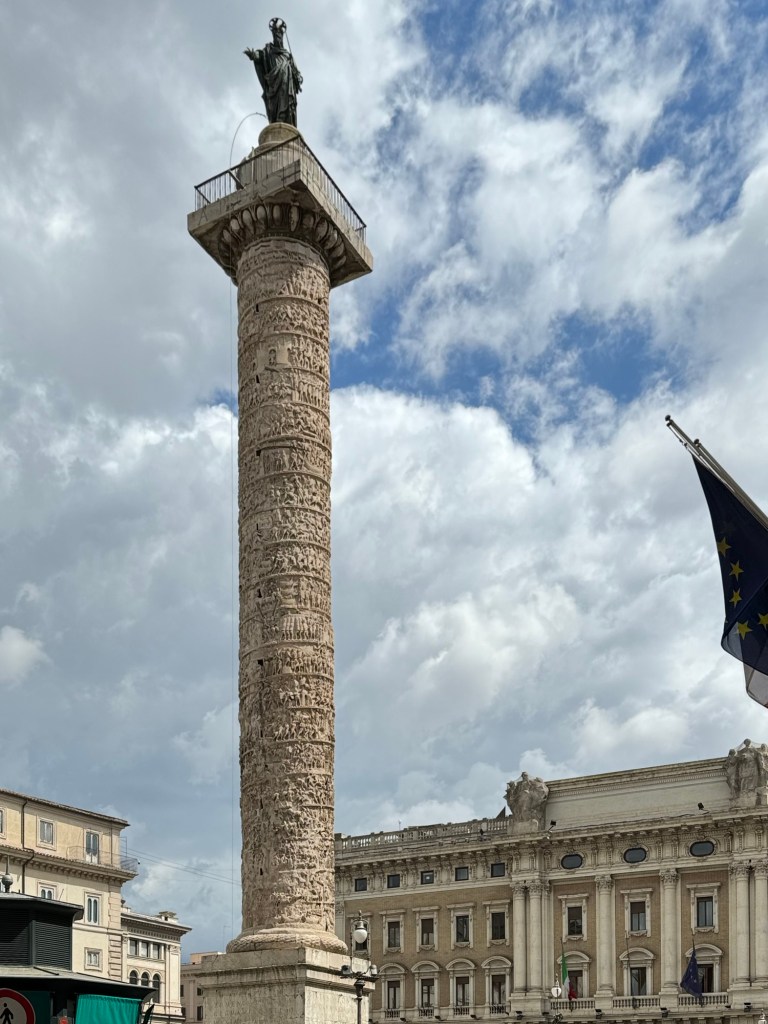
The PanthenonEgyptian obelisks in art is apparently a thing?This amazing spiral column tells a story!
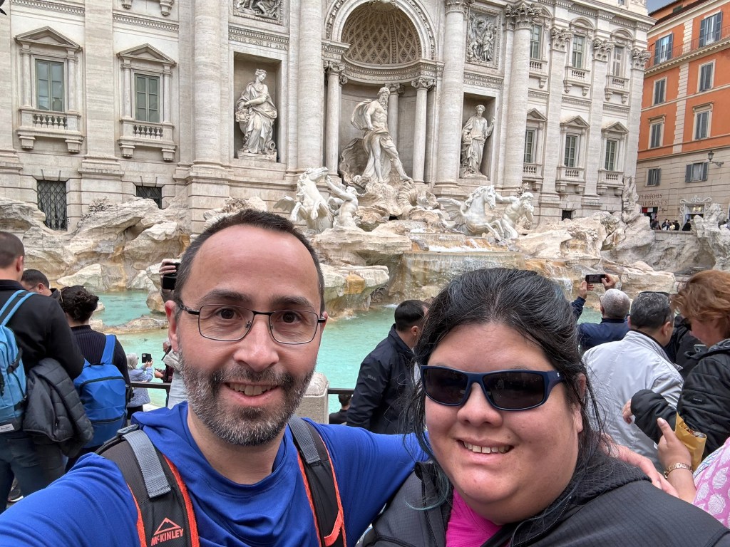
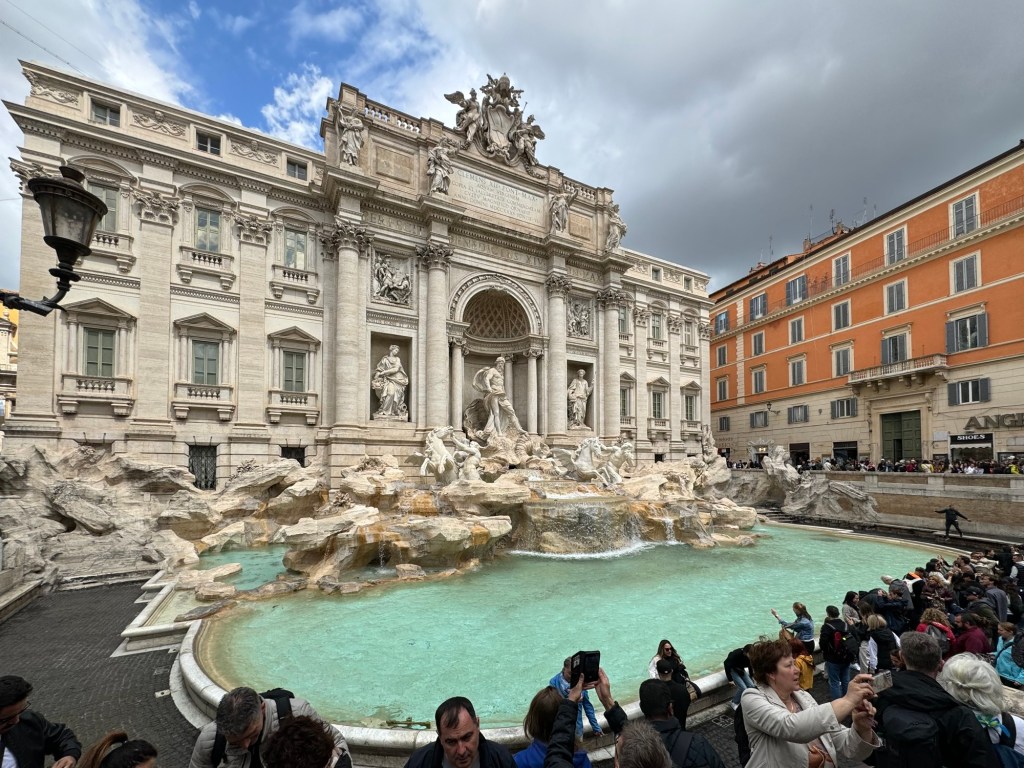
Next came Fontana di Trevi. It was incredible and incredibly busy.
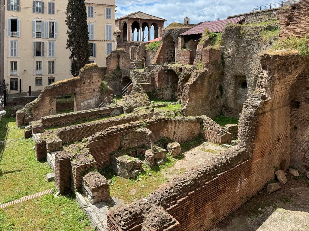
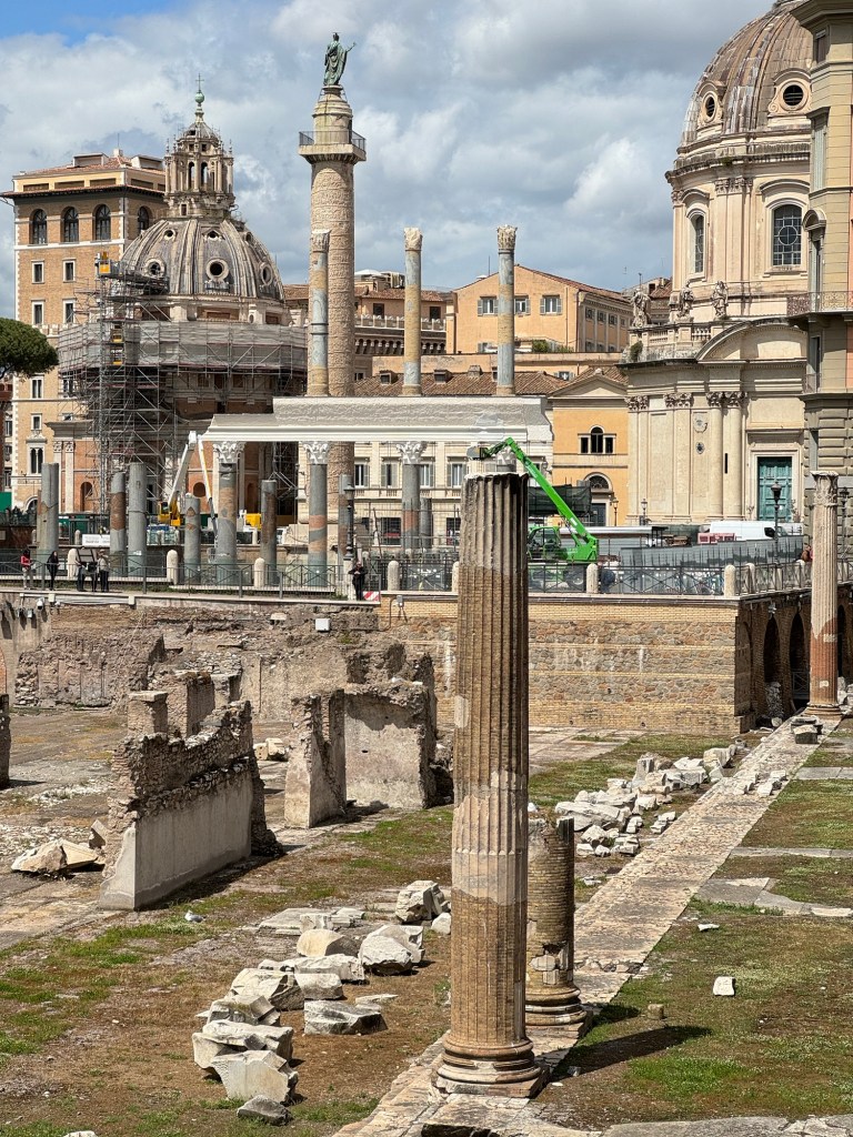
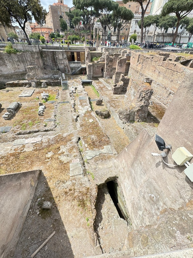
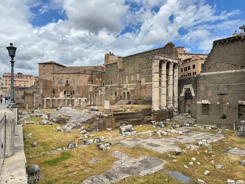
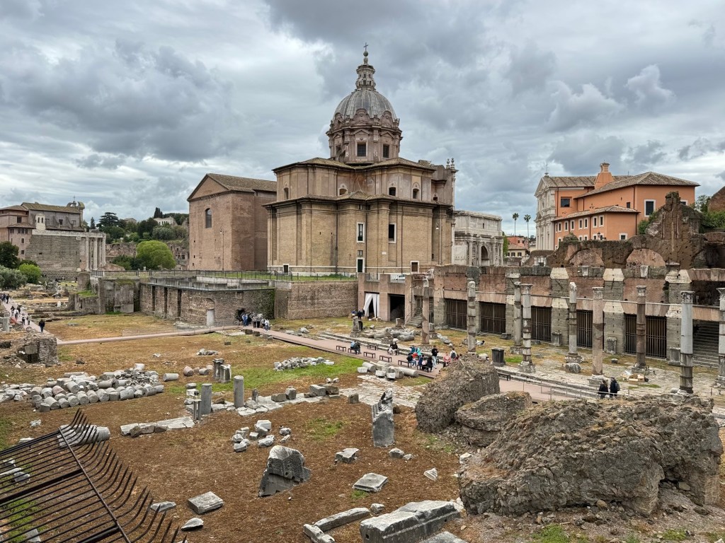
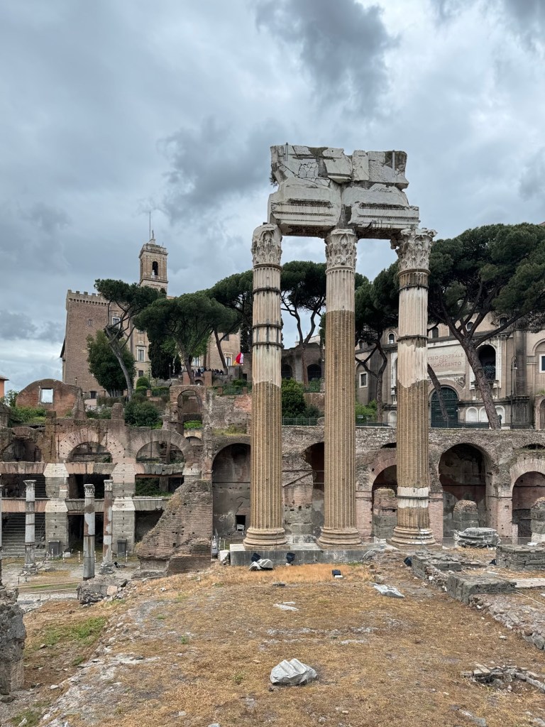
The Foro Romano was next, outstanding ruins and history. Amazing to think of how established and advanced they were.
Roman Forum IRoman Forum IIRoman Forum IIIRoman Forum IVRoman Forum V
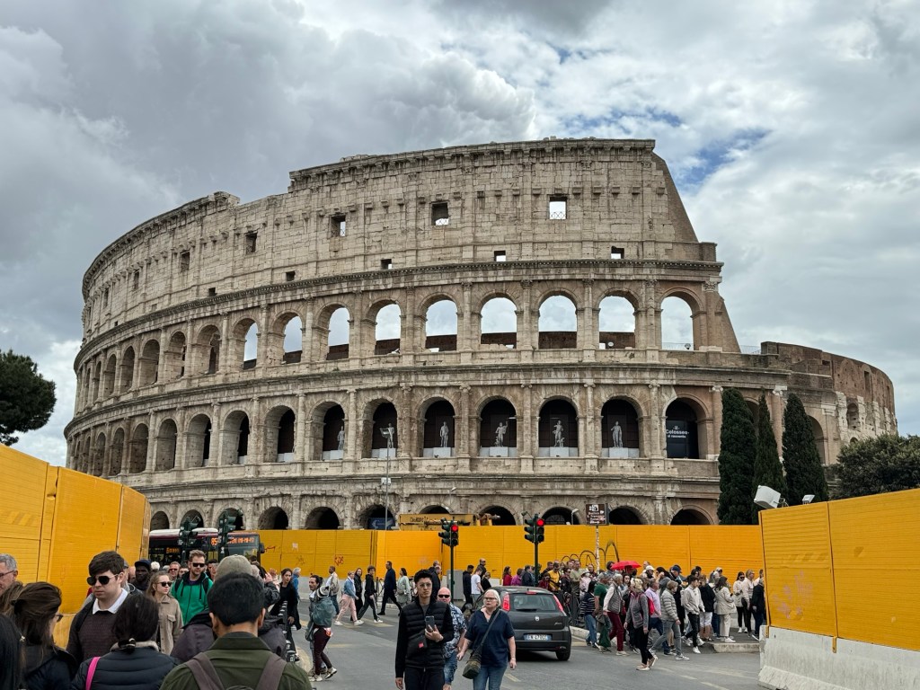
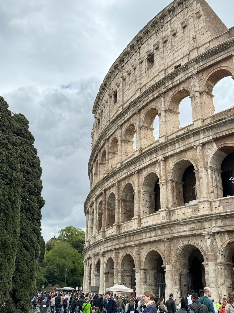
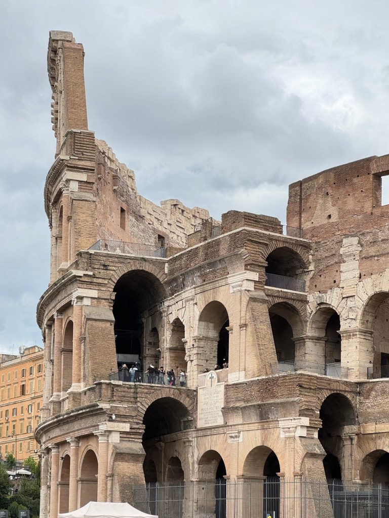
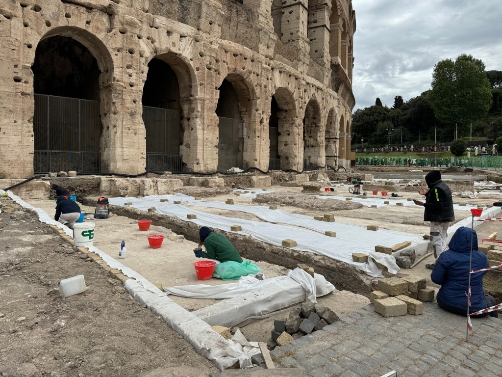
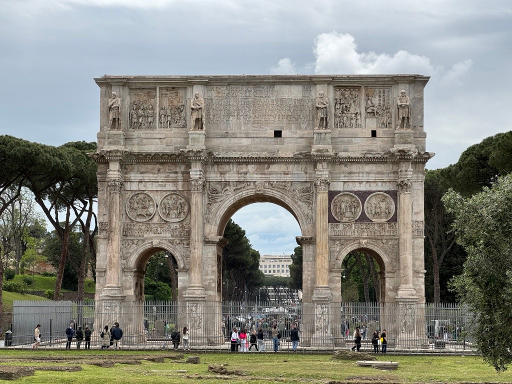
The Colosseum was next (hello, 7 Wonders), and it was massive. A lot less complete than Nîmes, however, so we were not as disappointed as we would have been to not get more time there.
Colosseum It was unbelievably busyThe scale is unreal but it is much less complete than the arena at NîmesActive archeological digArch
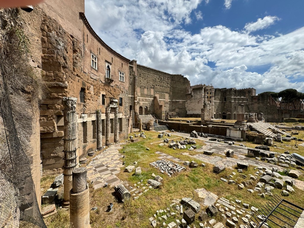
Palatino brought us back to the less-loved yet truly outstanding features of the ancient world.
PalatinoPalatino II
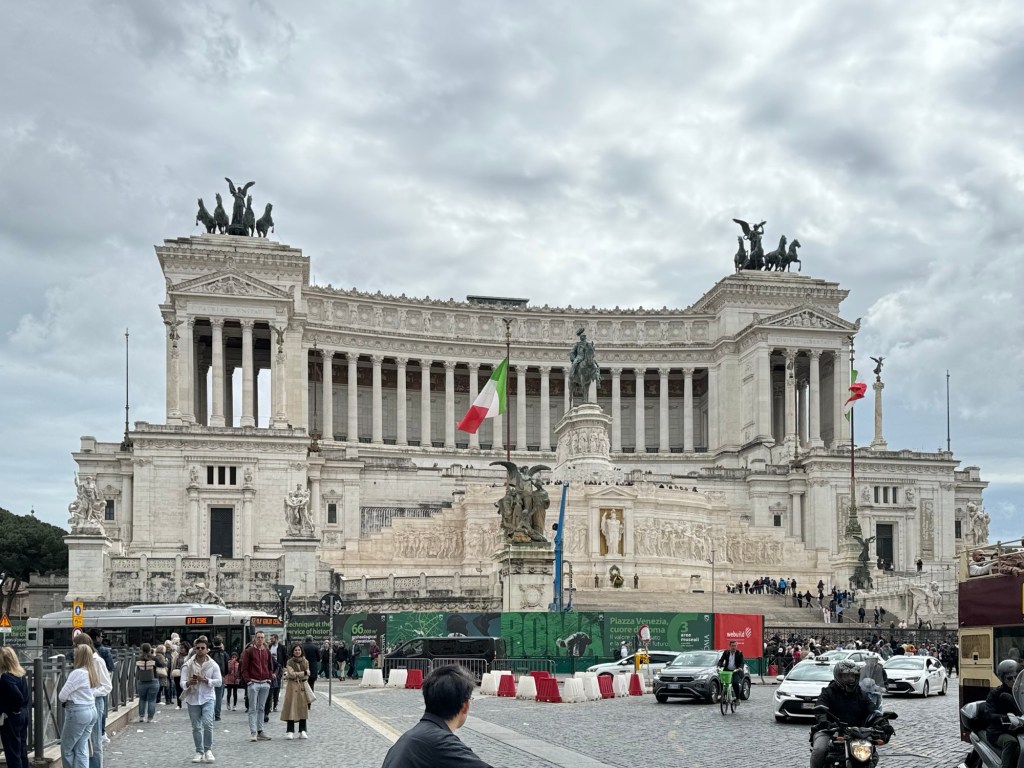
Rocketing us back to opulence and unbelievable impressions came Piazza Venezia.
Piazza Venezia
Then it was time to wind our way back to the meeting place, tired, overwhelmedand inspired.
Waking up to room service, topped with coffee from Ten Forward, we exited our floating hotel to the busy industrial port of Livorno, Italy on a not-so-busy sunny Sunday.
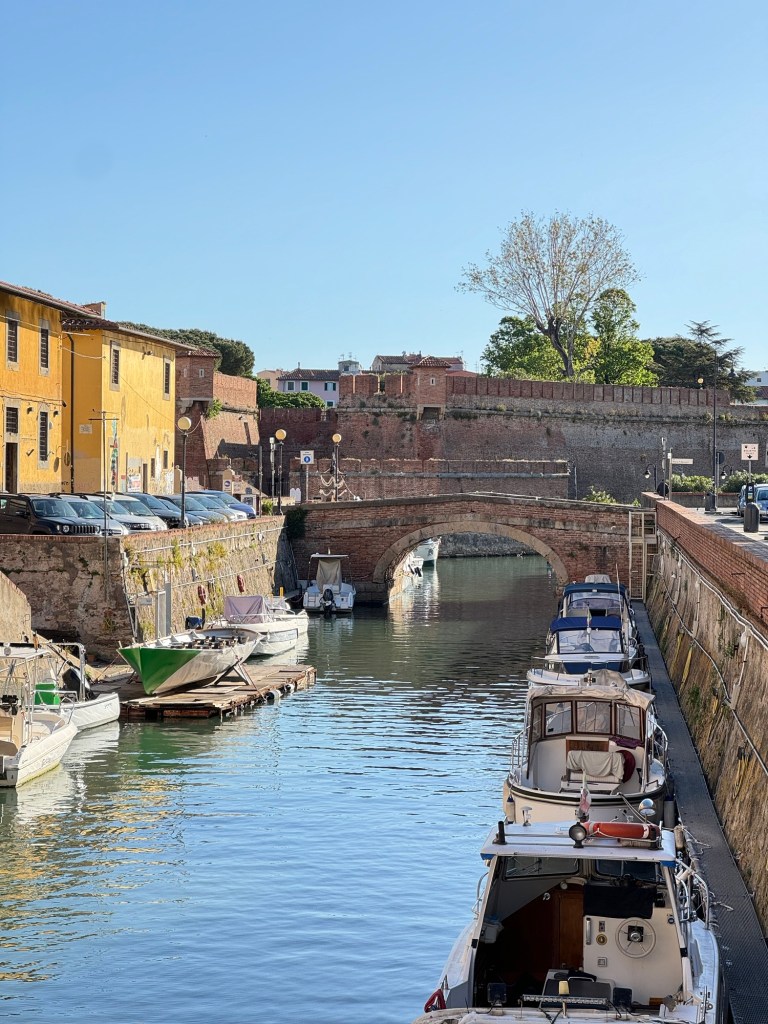
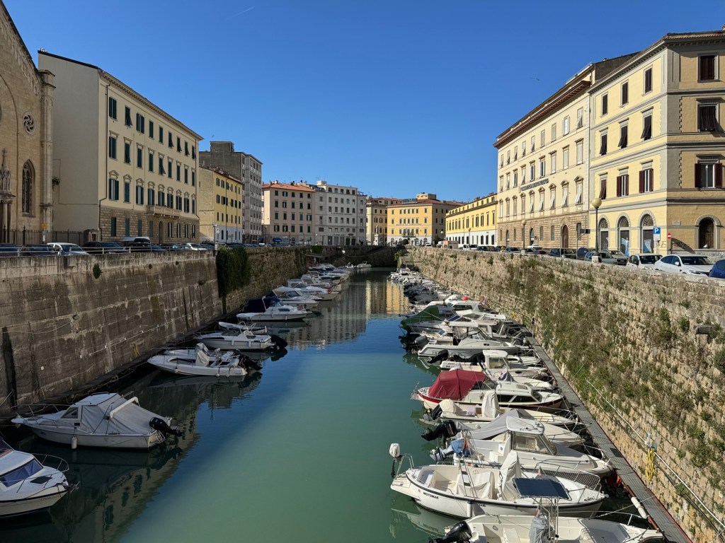
A shuttle took us through the port, past an old naval fort, to downtown. We wandered the mostly empty city, seeing the canals and where the market is on every other day of the week. Then we found a cute cafe with delicious honey-almond braided pastry, and soaked up the atmosphere.
Canals ICanals II
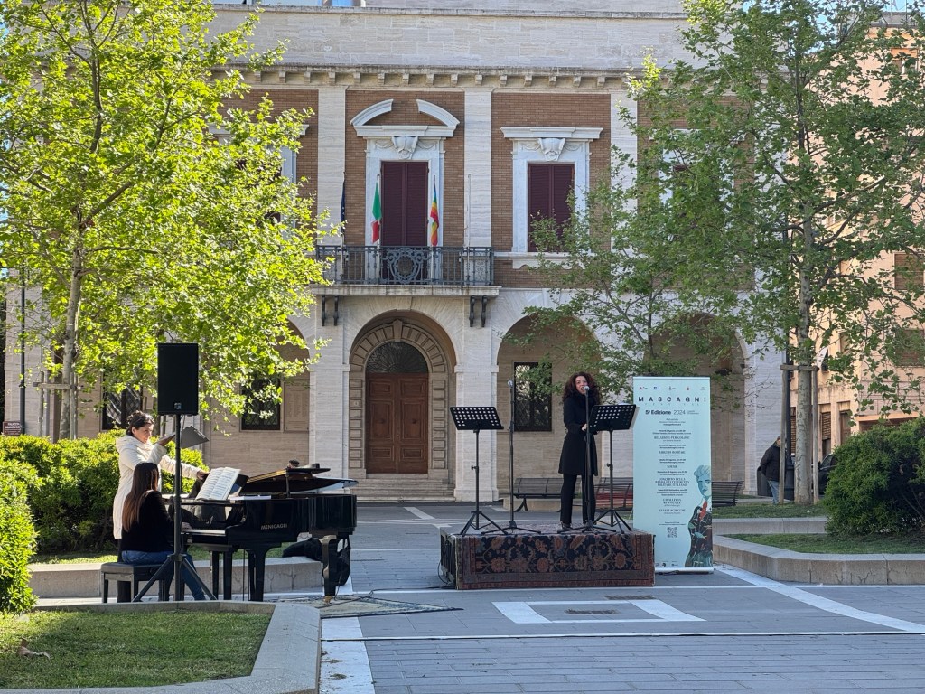
Next stop was back in the main square, where we checked in for our tour bus to Pisa. While we waited, we enjoyed performances of opera arias by a local group, including a magnificent soprano.
Mascagni
The tour bus ride was narrated and interesting, and we quickly found ourselves at a parking lot full of buses in Pisa. From here, we were guided through a gauntlet of street vendors, to the Porta Nuovo to Piazza del Duomo.
From the porta Look at them! Pisa!
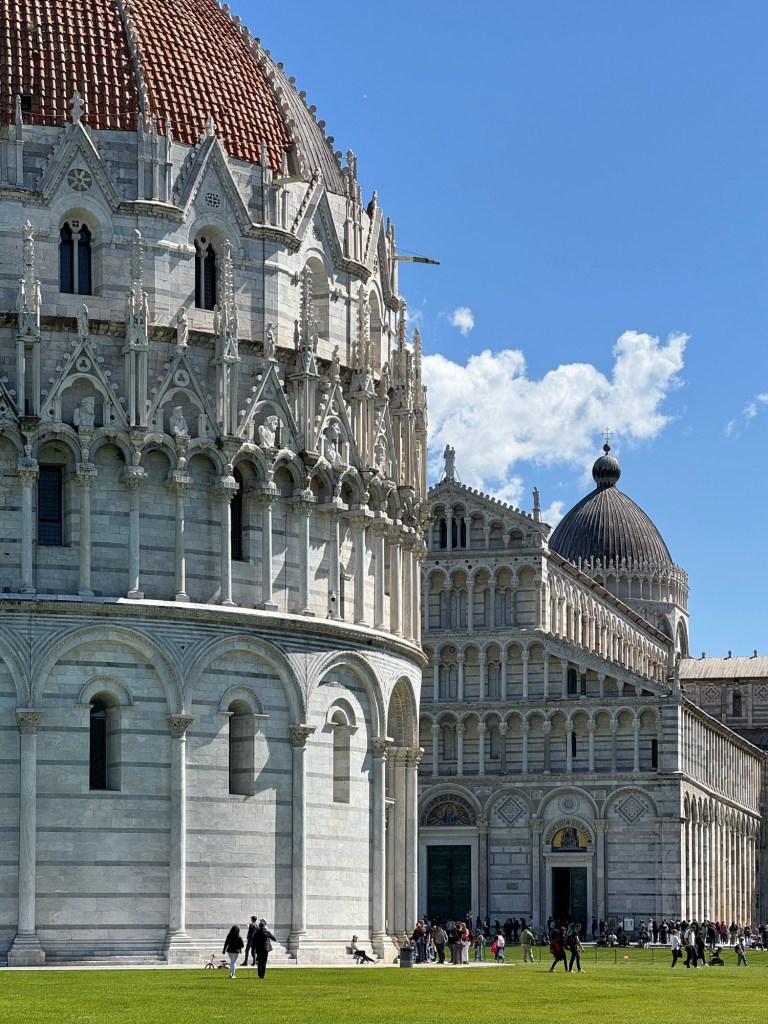
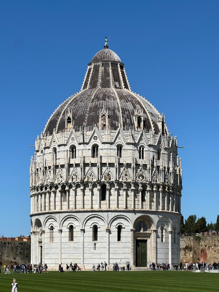
From the porta we were instantly in wonder. First, Battistero di San Giovanni, the Baptist church.
Battistero di San Giovanni
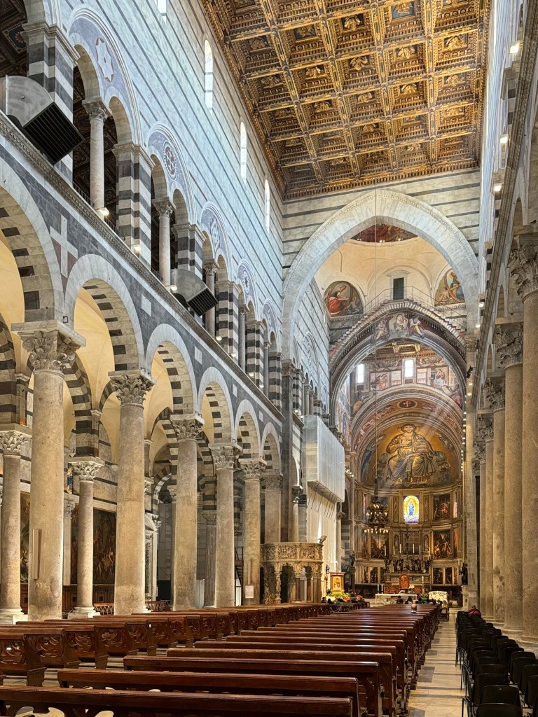
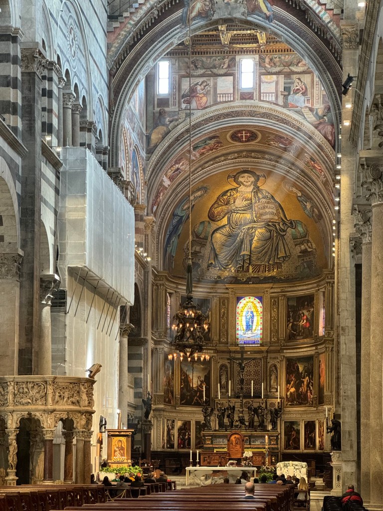
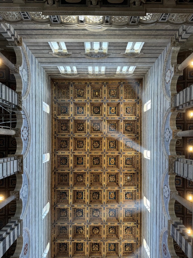
Then, Cattedrale di Pisa, the Catholic cathedral.
Inside the Cattedrale di PisaThe alter of Cattedrale di PisaThe ceiling of Cattedrale di Pisa
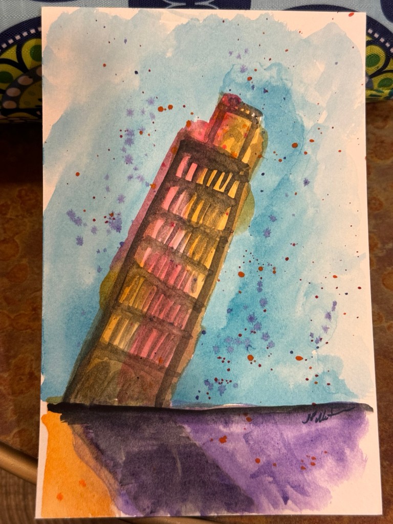
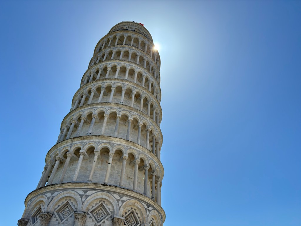
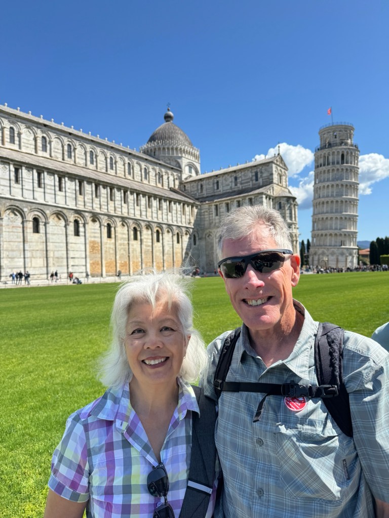
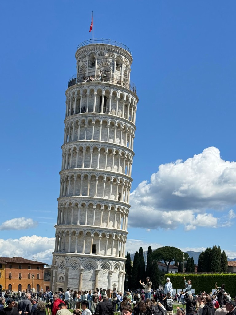
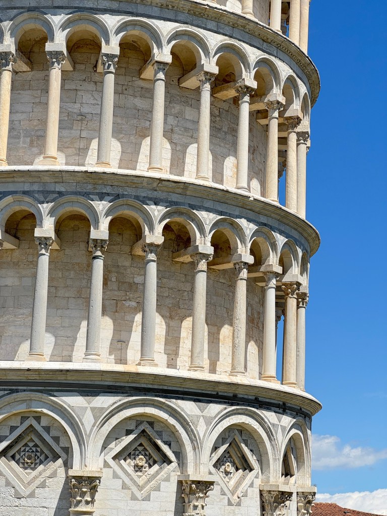
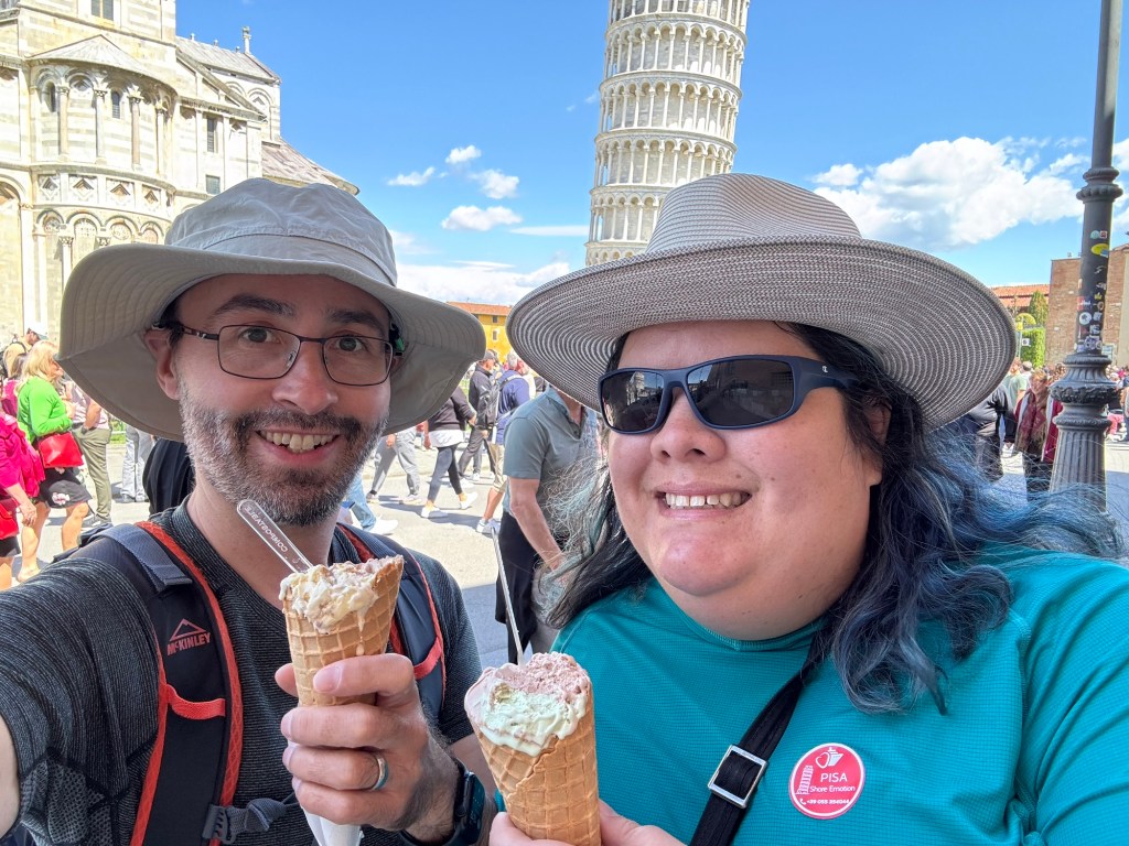
Finally – the Leaning Tower – the Torre du Pisa. Wow.
Such a crowd!The Leaning Tower of PisaLeaning Tower detail
We rounded the visit out with gelato before returning to the ship for dinner and bed. Another big day tomorrow!
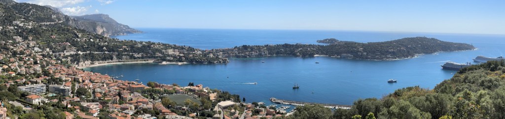
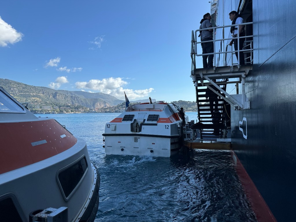
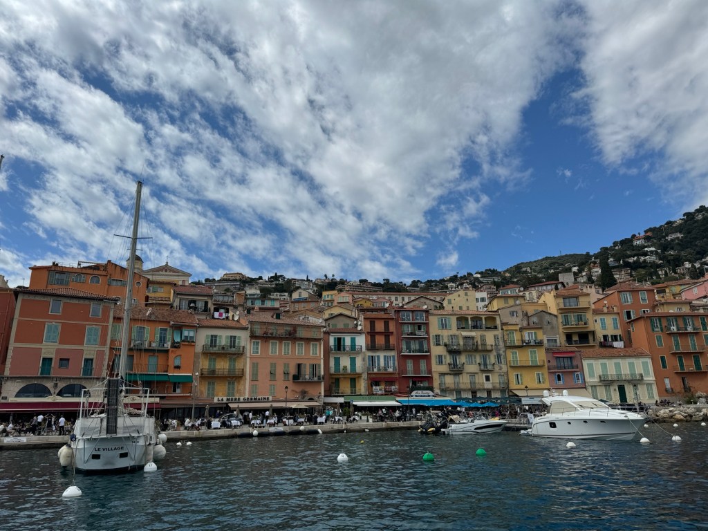
We anchored at the delightful harbour of Villefranche-Sur-Mer this morning, and soon found ourselves on a tender headed into the port.
Bienvenue à Villefranche-Sur-MerLoading the tenders
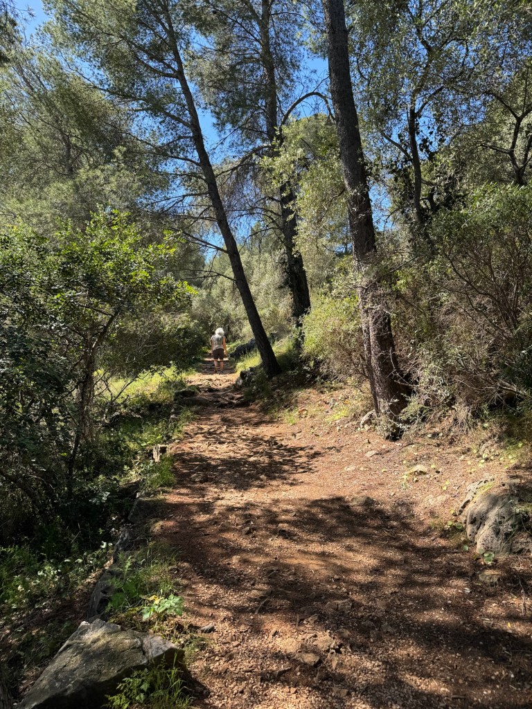
We skirted the citadel and headed through the edge of town, before starting to climb. Stairs. Many, many, many stairs. Then stairs in the forest. Then delightful forested switchback trail.
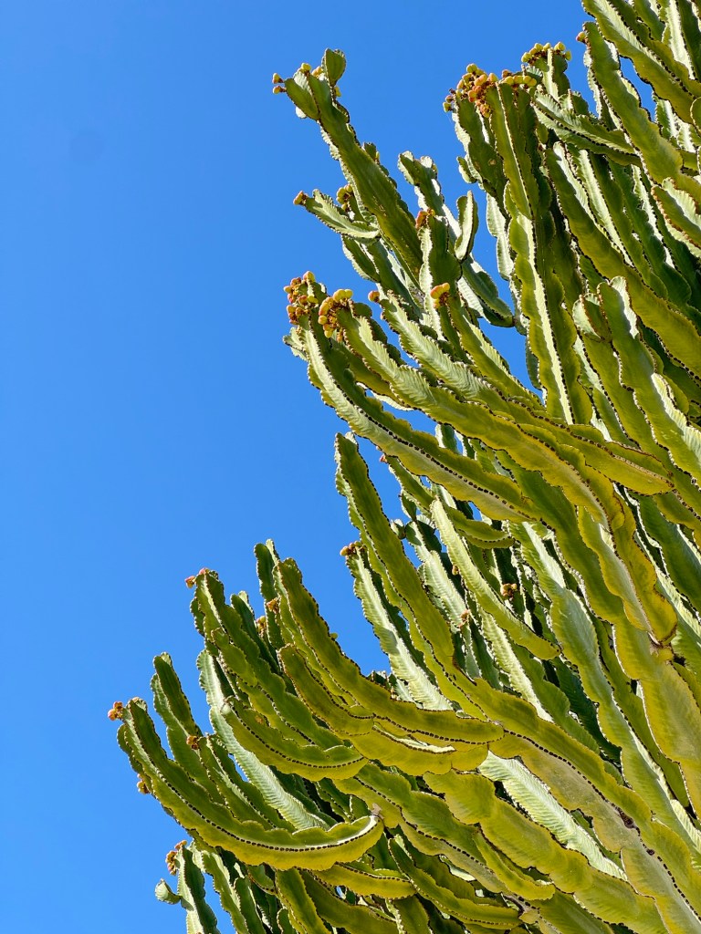
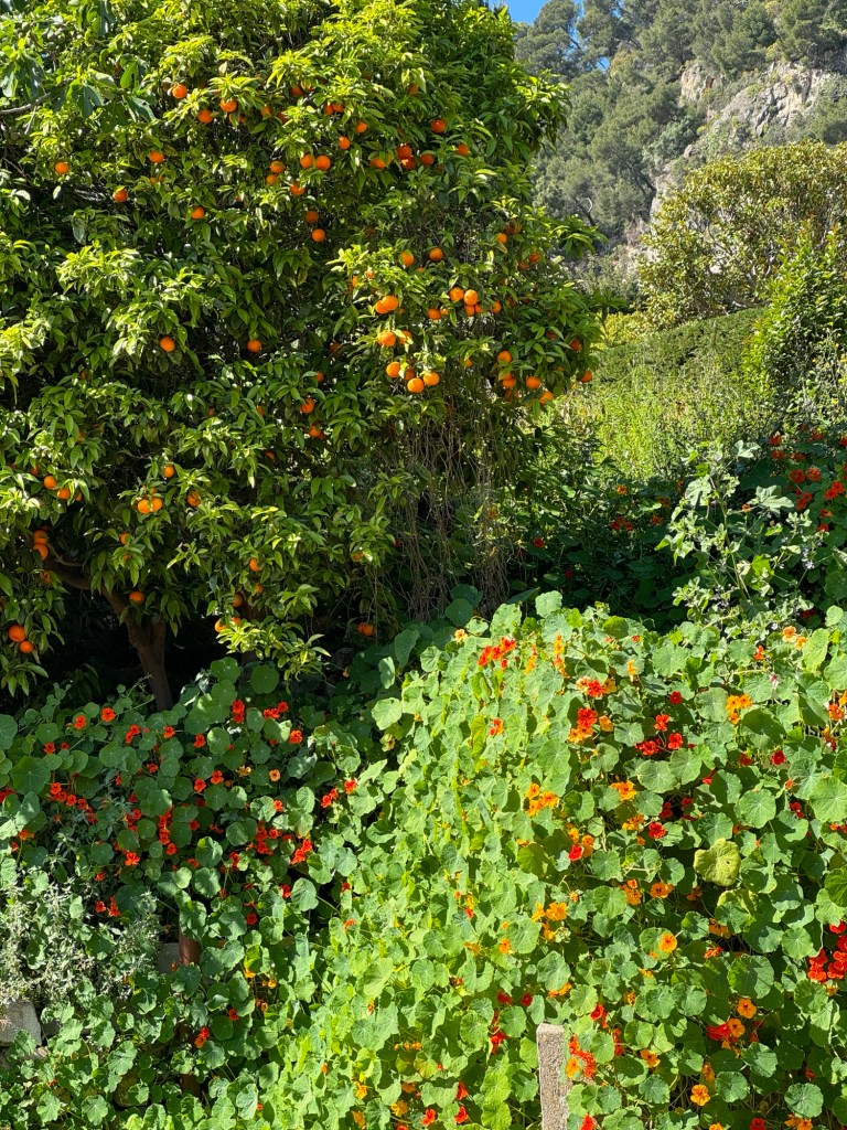
Amazing végétation en routeAn orange tree and a very impressive nasturtium A beautiful forested switchback
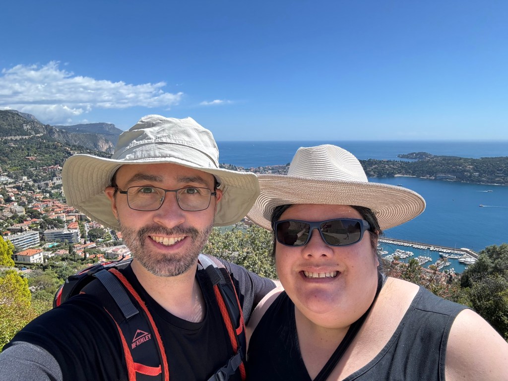
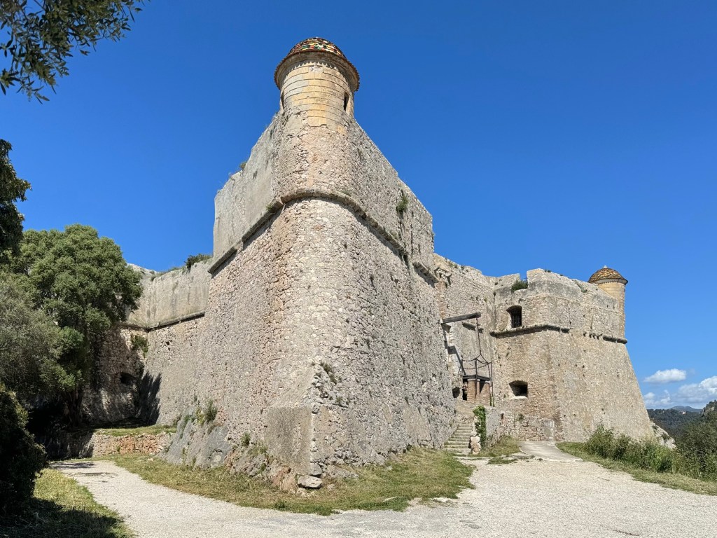
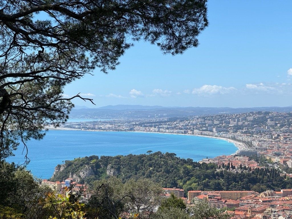
We eventually ended up high above town at the Fort du Mont Alban, and the view was gorgeous!
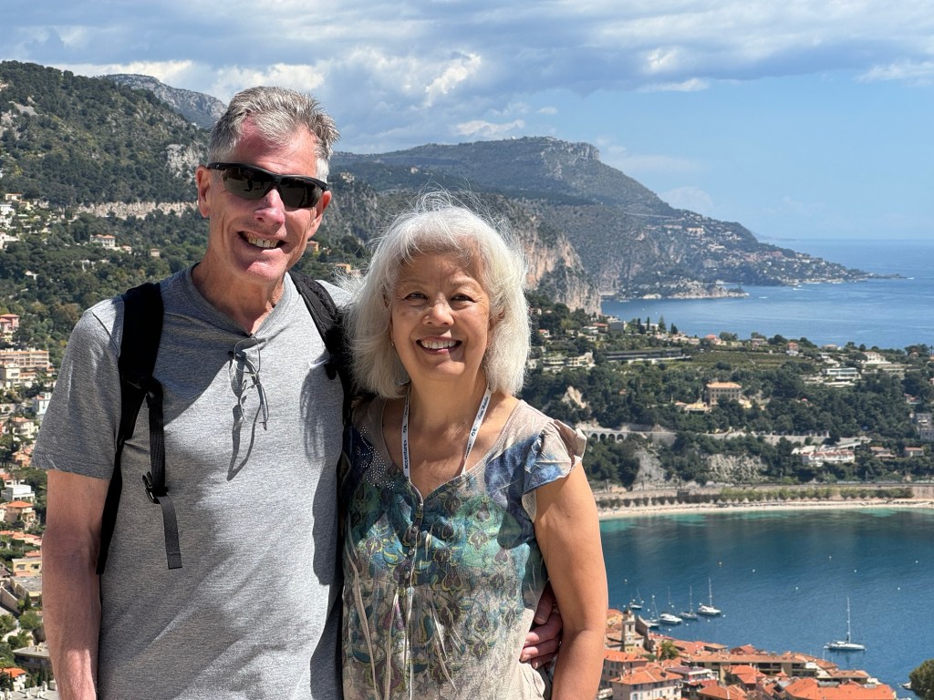
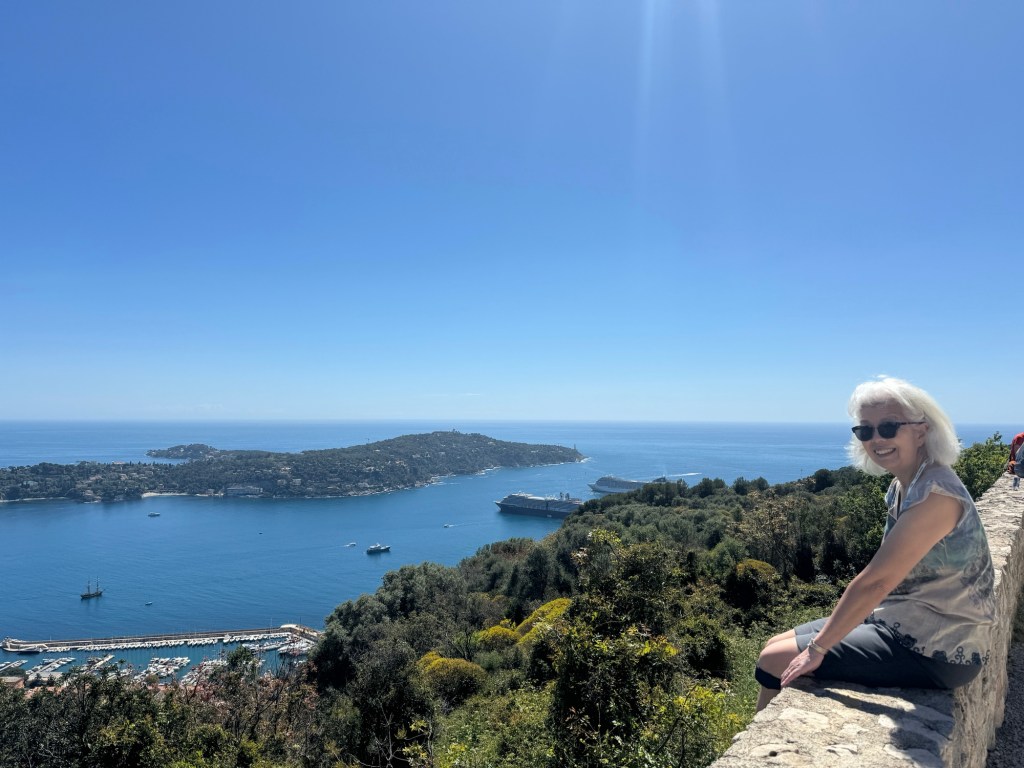
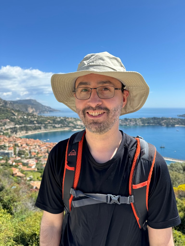
The view!!!So sunny!Dad and MomMom drinks in the viewOur intrepid leader
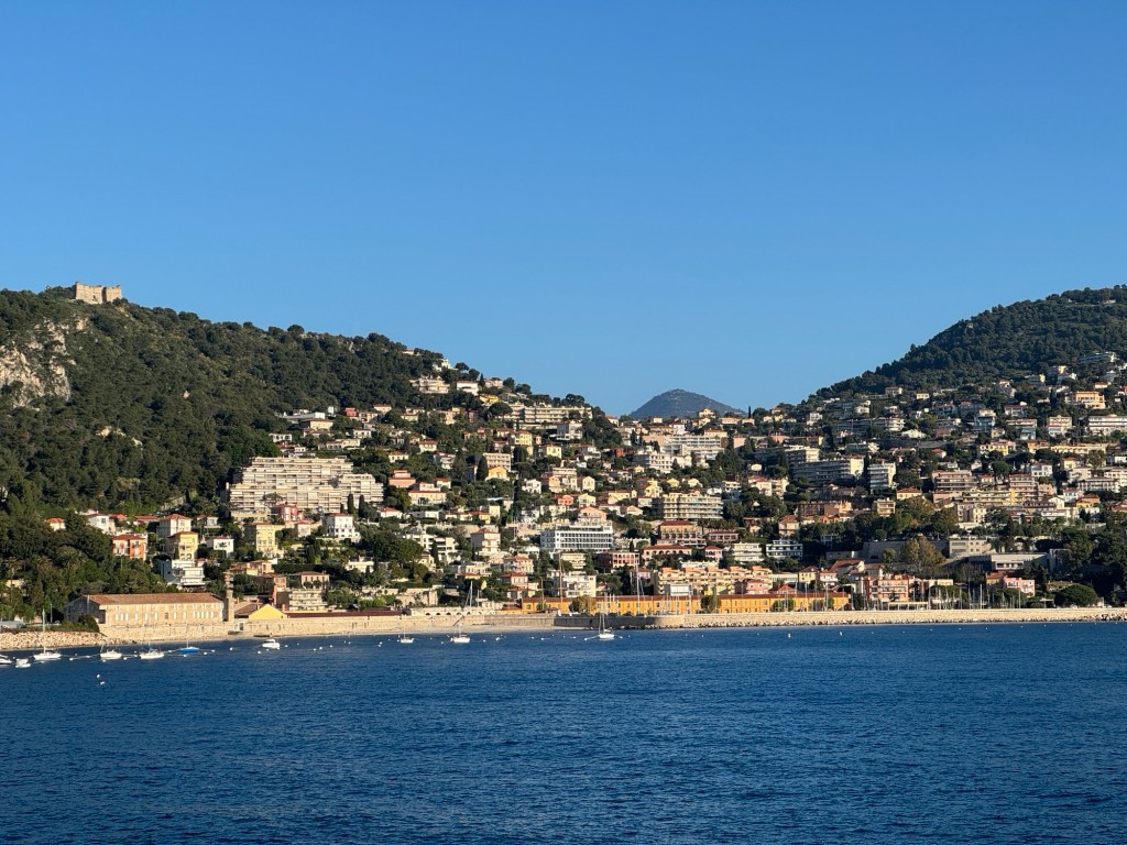
The fort itself was also lovely, and the view from the other direction was nice – the noisy (seriously, we could hear it from kilometres away) beaches of Nice.
The Fort du Mont AlbanNice was nice but noisy
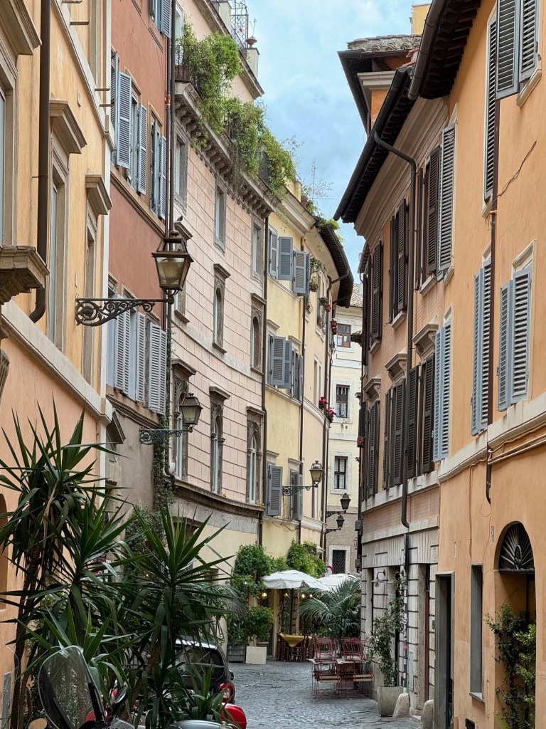
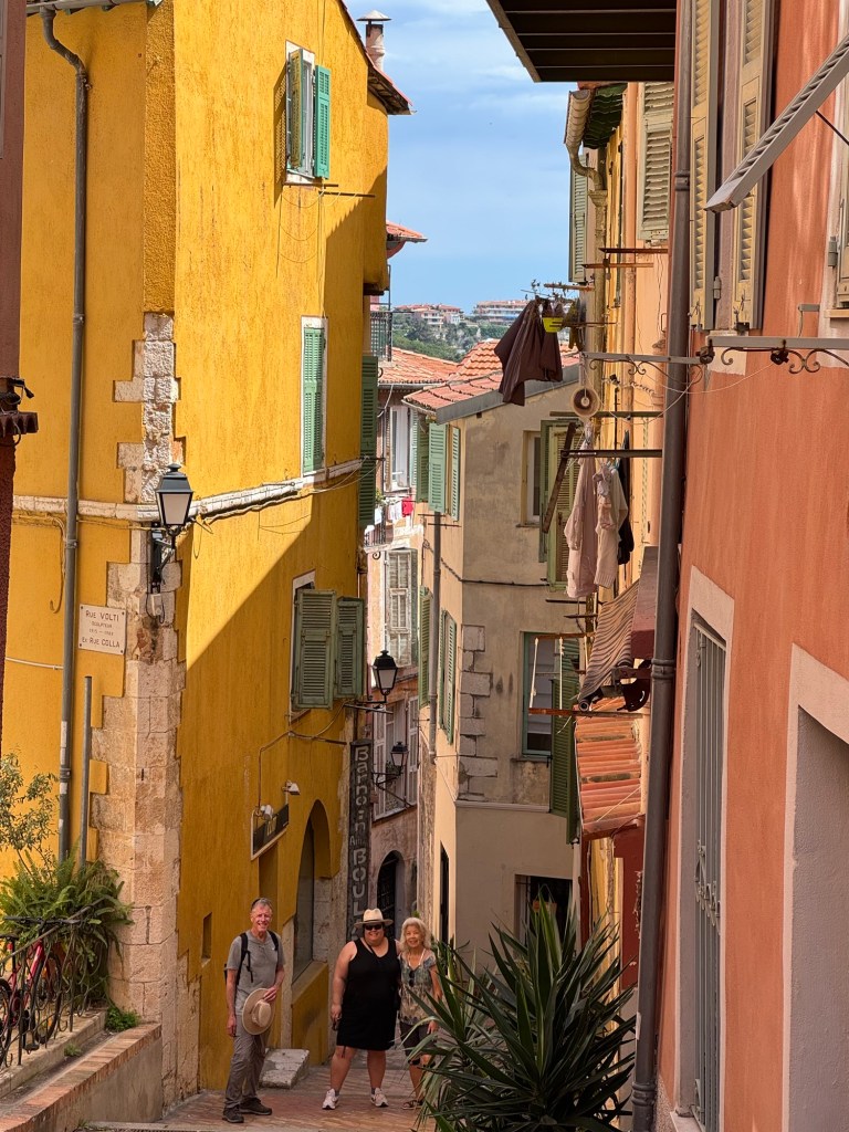
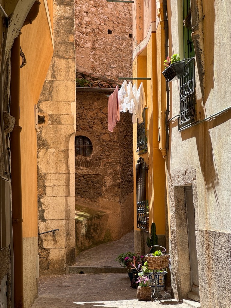
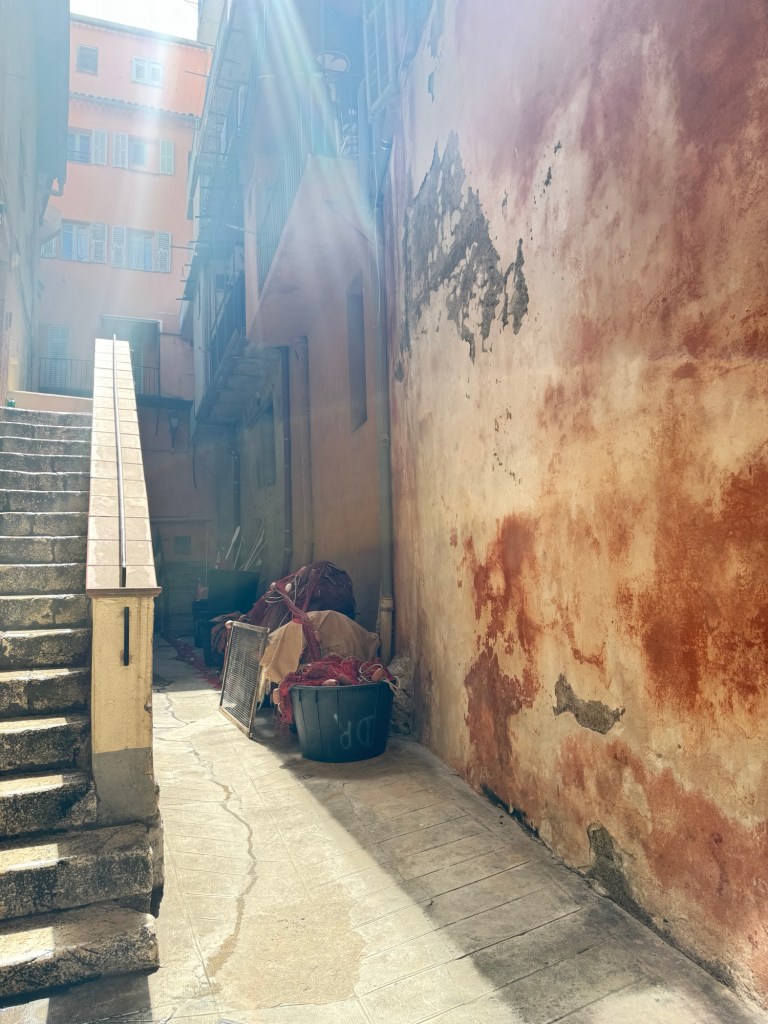
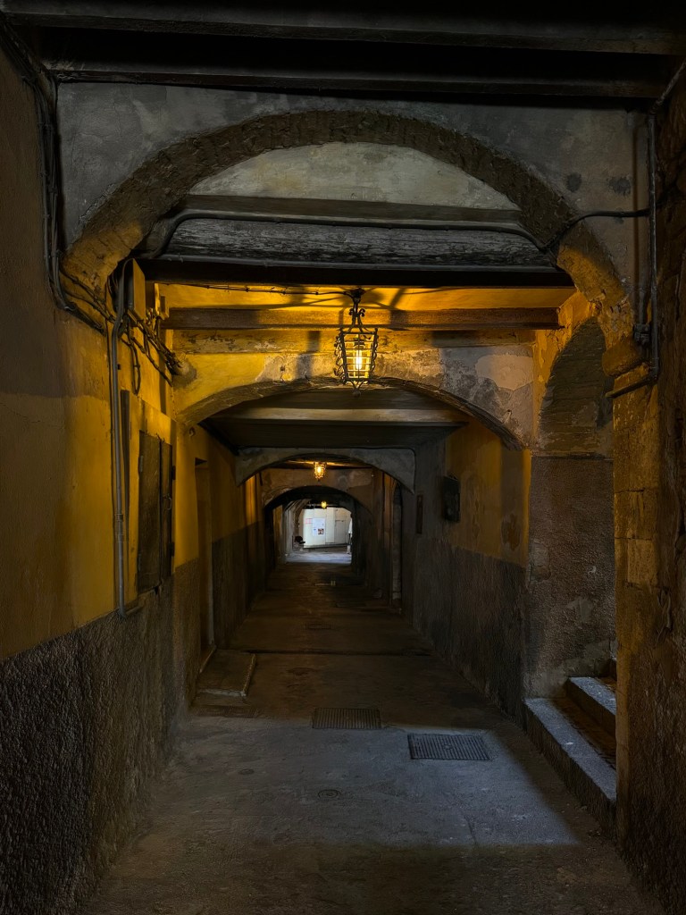
We eventually tore ourselves away and wound our way down the mountain through steep neighbourhood streets. Vieux ville was particularly gorgeous with narrow streets and gorgeous colours.
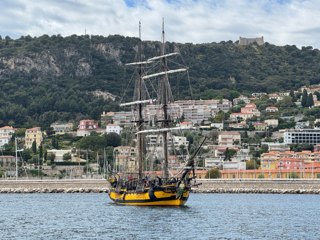
Narrow staircasesThe Fort from partway downGreat coloursSo picturesque Layers of architecture Fishing gear and great lightIt feels so timelessFarewell to the harbourA tall ship in harbour with the fort sneaking into the background
Back on board was “dressy” dinner and a chill evening preparing for tomorrow!